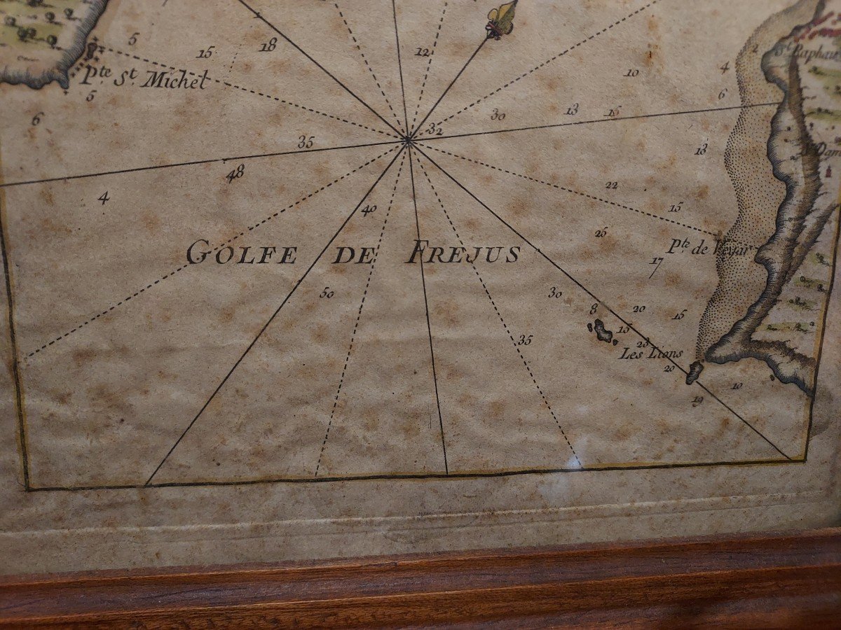

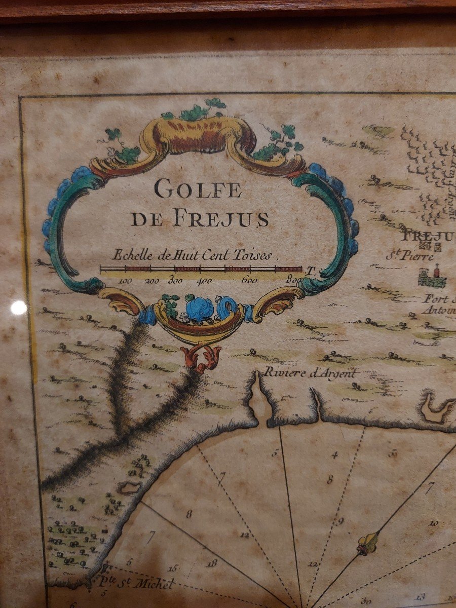
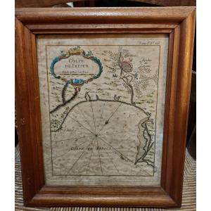


Maritime Map Gulf Of Frejus By Jacques Nicolas Bellin 1764
Beautiful 18th century maritime map representing the Gulf of Frejus. This engraving enhanced with gouache comes from a Maritime Atlas by Jacques Nicolas Bellin in 1764. Some foxing. Dimensions at sight 19.8 x 24.6 cm Shipping to France by registered mail: €20
200 €
Period: 18th century
Style: Other Style
Condition: Condition of use
Material: Paper
Length: 32 cm
Width: 27 cm
Reference (ID): 1209066
Availability: In stock
Print