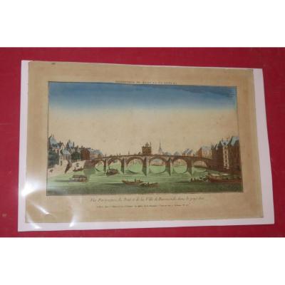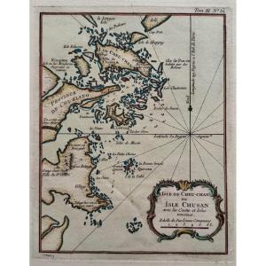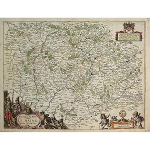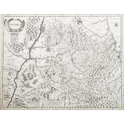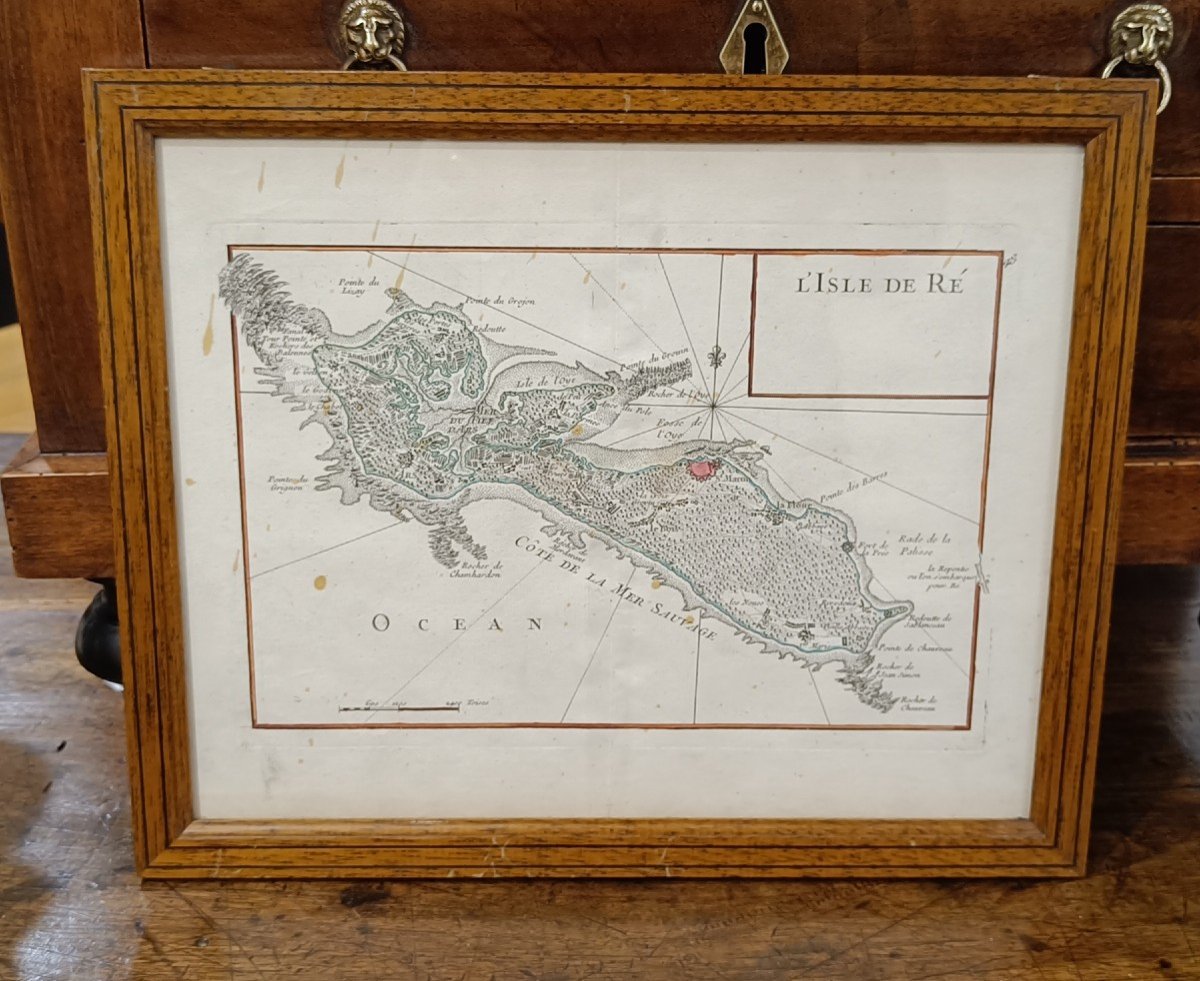
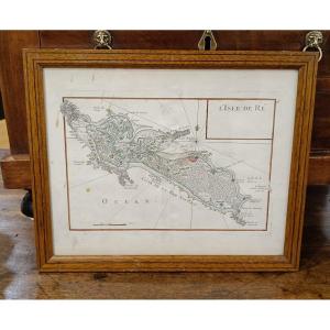
18th Century Watercolor Map Of The Ile De Ré By Le Rouge 1746
18th Century Watercolor Map Of The Ile De Ré By Le Rouge 1746-photo-2
18th Century Watercolor Map Of The Ile De Ré By Le Rouge 1746-photo-3
18th Century Watercolor Map Of The Ile De Ré By Le Rouge 1746-photo-4
18th Century Watercolor Map Of The Ile De Ré By Le Rouge 1746-photo-1

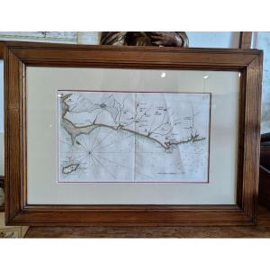
18th Century Watercolor Map Of The Ile De Ré By Le Rouge 1746

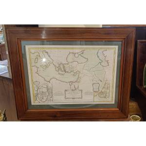
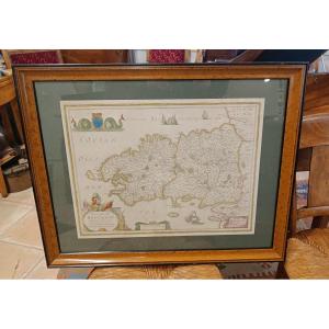
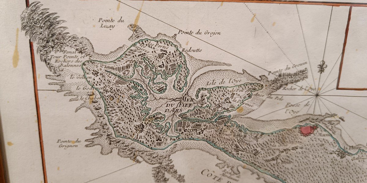
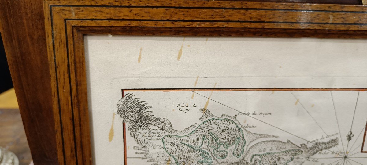
Lightly watercolored map from 1746 by Le Rouge, representing the Ile de Ré. Slight stains on the paper which do not affect the quality of this card. Pitchpin style oak frame with net 33 cm x 27 cm
390 €

Period: 18th century

Style: Other Style

Condition: Good condition

Material: Paper

Width: 25 cm

Height: 17 cm

Reference (ID): 1251361

Availability: In stock

Print
88A avenue Joseph Pineau
Noirmoutier en l'île 85330, France

06 13 50 19 76

Follow the dealer

CONTACT

SIGN UP TO OUR NEWSLETTER

facebook
instagram

KRON Frédéric Antiquités
18th Century Watercolor Map Of The Ile De Ré By Le Rouge 1746
1251361-main-6582be6781e58.jpg

06 13 50 19 76


*We will send you a confirmation email from info@proantic.com .
Please check your messages, including the spam folder.