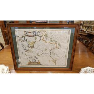


A 17th-century Watercolor Map Of The Saintonge Region, Including The Pays d'Aulnis, Framed, By J. Blaeu, Circa 1651
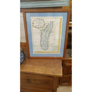
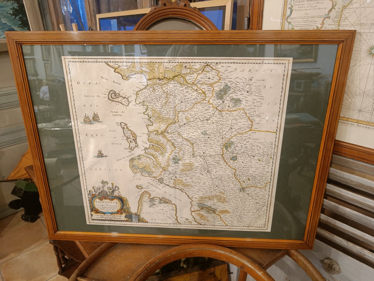
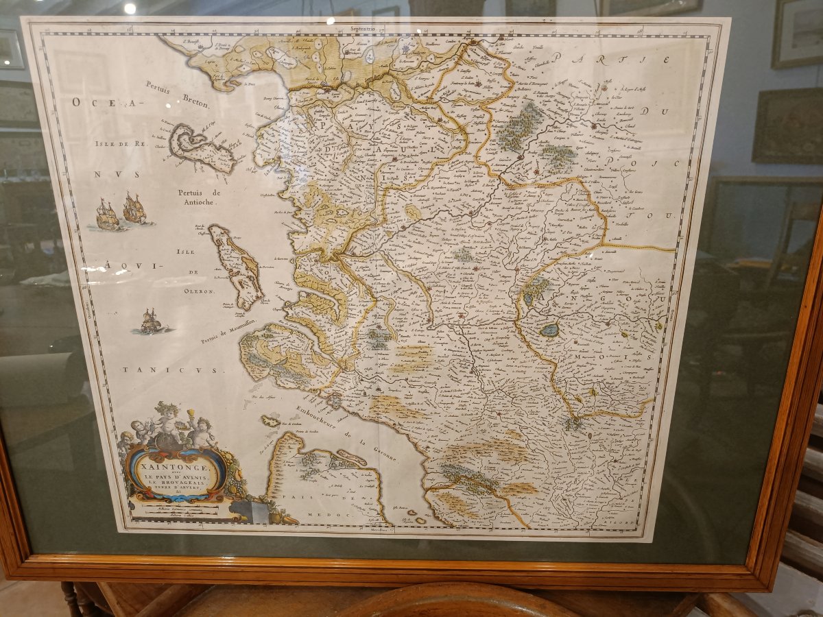
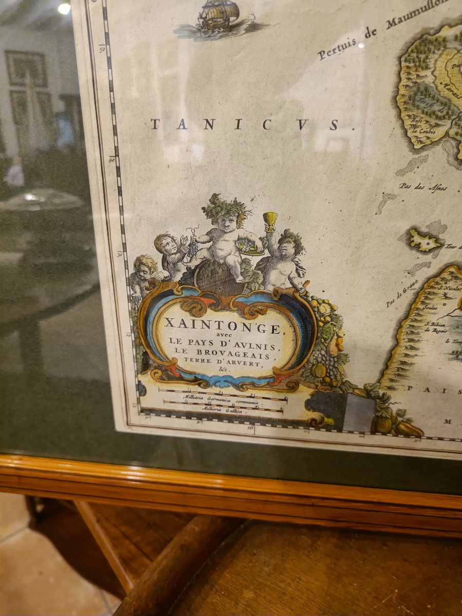
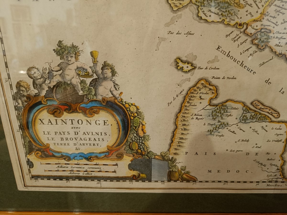
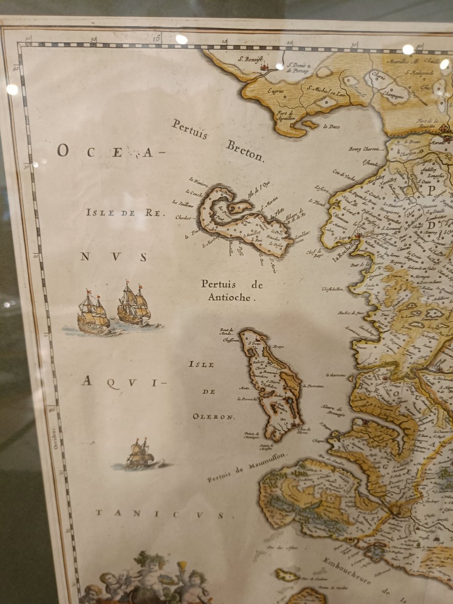
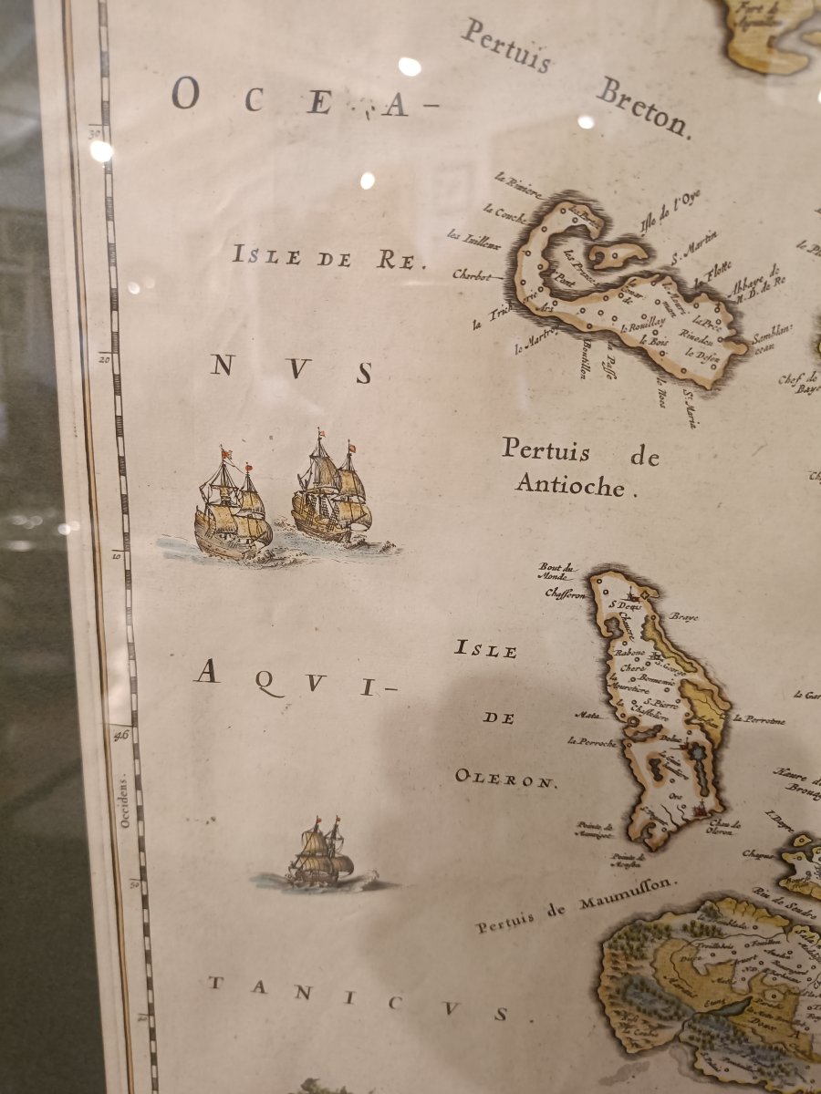
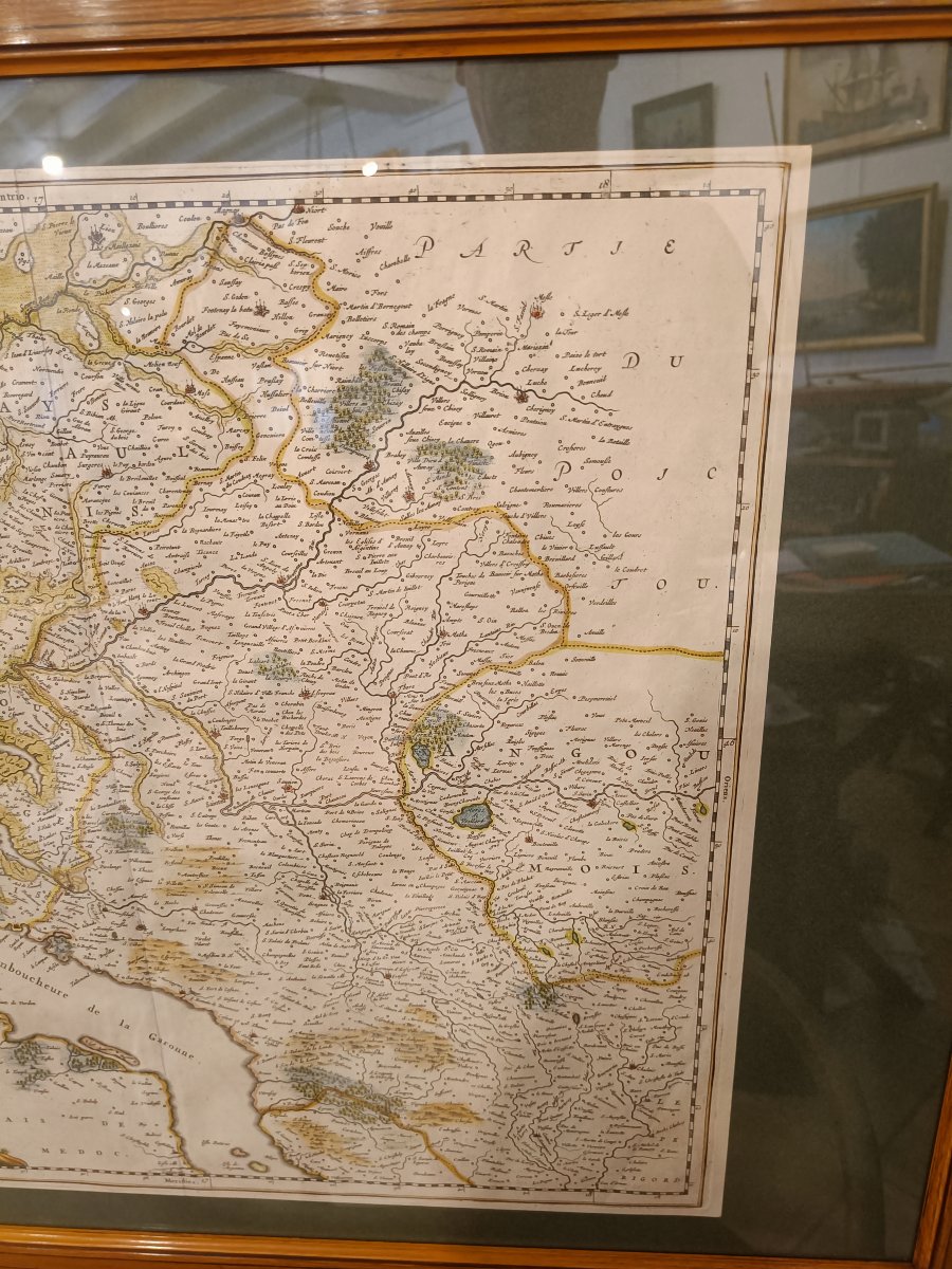
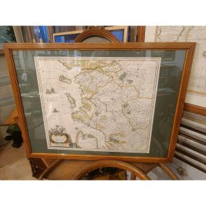
Rare 17th-century watercolor map depicting "Xaintonge" along with the Aulnis region, the Brouageais, Terre d’Arvert,” engraved by the Dutch cartographer J. Blaeu around 1651, showing part of the west coast of France north of Bordeaux, including the Gironde estuary, the Île de Ré, and the Île d’Oléron.
This is a more detailed, larger-scale version of the Willem Blaeu map that I feature in another listing.
Beautiful original colors with a lovely decorative border featuring ships and a large title cartouche depicting Bacchus seated on his barrel.
Pine frame with molding, 81 cm x 61 cm
This is a more detailed, larger-scale version of the Willem Blaeu map that I feature in another listing.
Beautiful original colors with a lovely decorative border featuring ships and a large title cartouche depicting Bacchus seated on his barrel.
Pine frame with molding, 81 cm x 61 cm
650 €
Period: 19th century
Style: Other Style
Condition: Excellent condition
Material: Paper
Length: 55 cm
Height: 50 cm
Reference (ID): 1815917
Availability: In stock
Print