

18th-century Watercolor Map Of The Island Of Madagascar, By N. Bellin
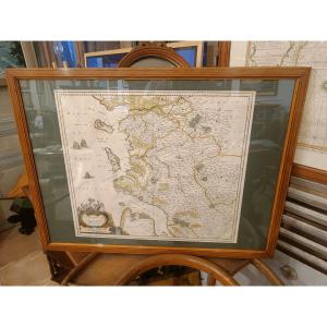
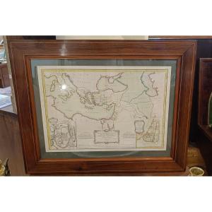
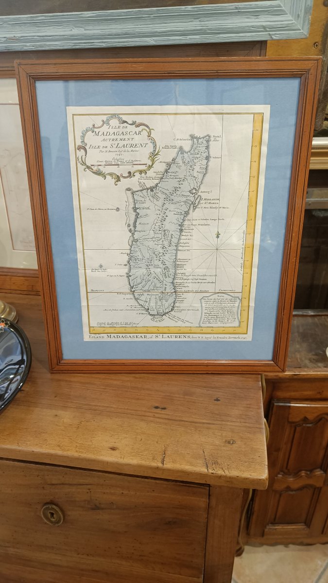
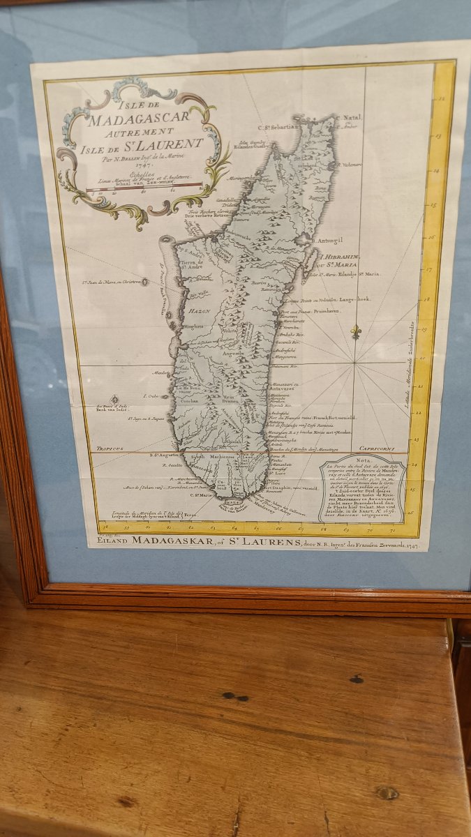
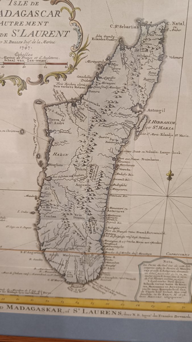
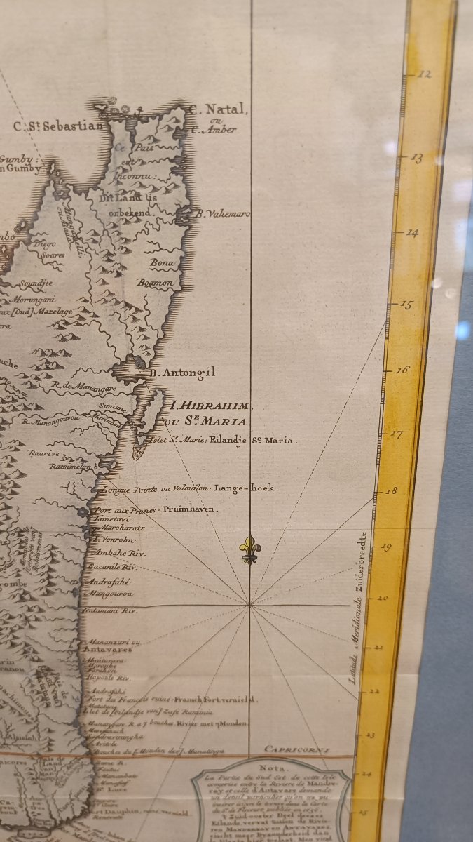
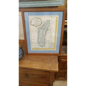
A beautiful 18th-century watercolor map by N. Bellin of the island of Madagascar, from a Dutch and French edition.
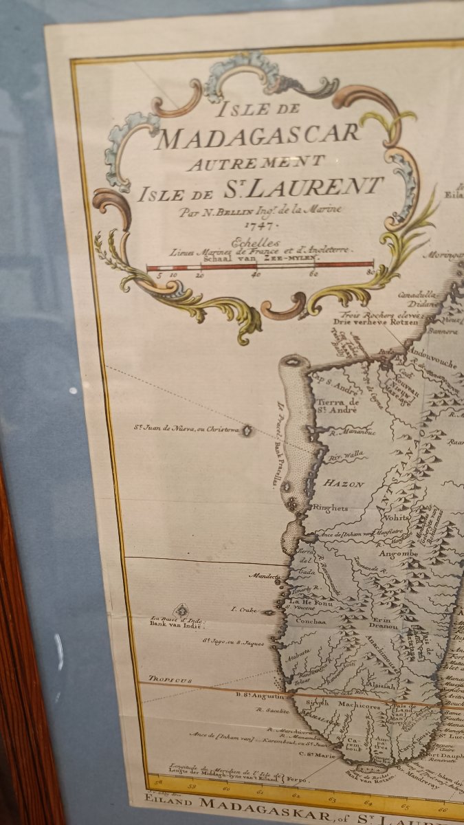
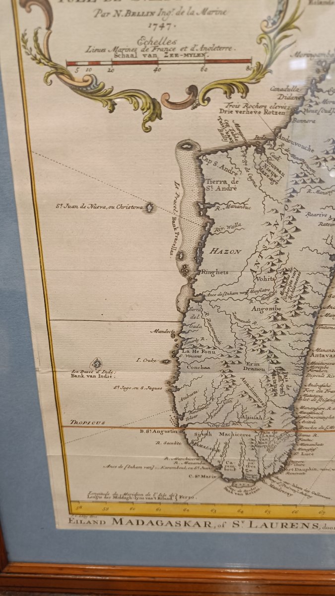
Beautiful original colors, 2 cartouches: the first containing the title and scale
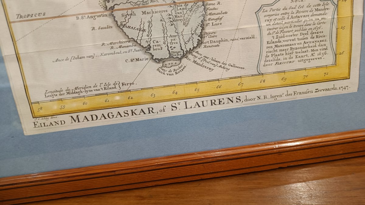
"Isle of Madagascar, otherwise known as the Isle of St. Laurent, by N. Bellin, Engineer of the Navy, 1747"
"Scales of Places in the Seas of France and England, Schaal van zee-mylen"
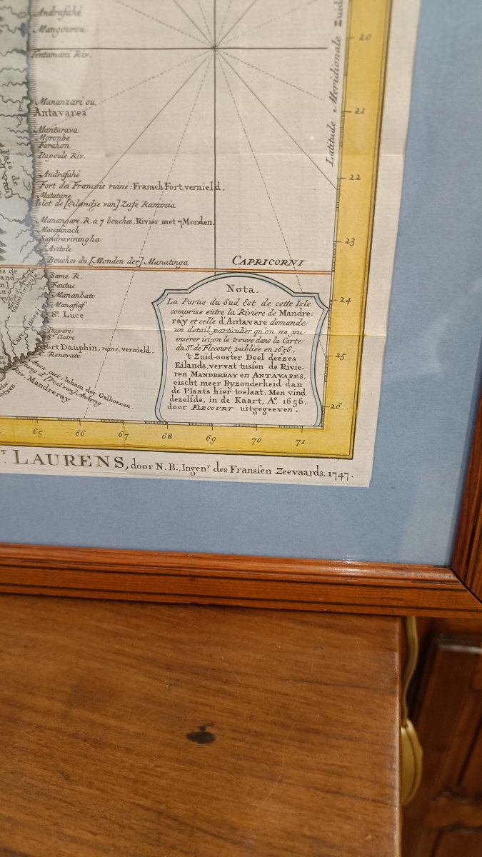
The second contains a note in French and Dutch
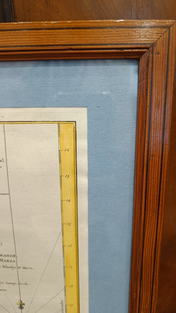
Pitchpin frame, 41 cm x 34.5 cm
Beautiful original colors, 2 cartouches: the first containing the title and scale
"Isle of Madagascar, otherwise known as the Isle of St. Laurent, by N. Bellin, Engineer of the Navy, 1747"
"Scales of Places in the Seas of France and England, Schaal van zee-mylen"
The second contains a note in French and Dutch
Pitchpin frame, 41 cm x 34.5 cm
420 €
Period: 18th century
Style: Other Style
Condition: Excellent condition
Material: Paper
Width: 24 cm
Height: 31 cm
Reference (ID): 1792169
Availability: In stock
Print