

An Old Map Of Picardy
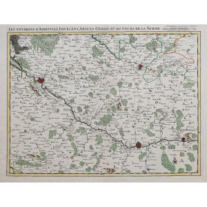
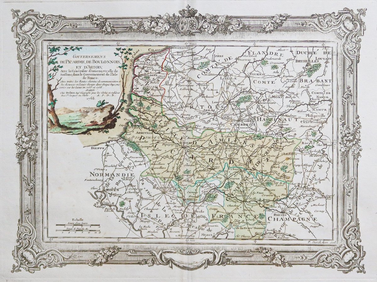
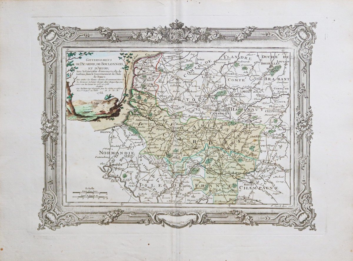
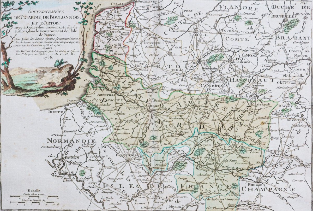
The governments of Picardy, Boulogne, and Artois, along with the generalities of Amiens and Soissons within the government of Île-de-France.
Original print produced in 1766. P. Starckman, engraver. Desnos, cartographer.
Beautiful watercolor hues.
Very good condition.
Sheet size: 53 x 40 cm.
Copperplate size: 44 x 33 cm.
Original antique map from 1766.
Showing all roads, communication routes, and distances in leagues as used in each region, measured on site in 1755 and 1756.
A particularly decorative map embellished with a framed frieze engraved with the Arms of France. Watercolor title cartouche.
You can browse the fullmaps, books, and engravings available for your region by clicking on thelink to our website specializing in historicalgeographic archives:
Secure payment by creditcard on our website by clicking the link below: https://cartes-livres-anciens.com/produit/cartes-geographiques-anciennes-original-antique-maps/france/picardie-oise/carte-geographique-ancienne-de-la-picardie/
Allof our maps and engravings come with a certificate of authenticity.
Desnos was a leading manufacturer of cartographic instruments and globes. He held the coveted position of royal globe maker for King Christian VII of Denmark. For this, he received an annual stipend of 500 livres. In return, he sent the king maps, books, and atlases every year. He was a bookseller and publisher and produced a significant collection of maps. He was often associated with the geographers Zannoni and Louis Brion de la Tour (1756–1823).
His prolific output of published maps sometimes earned him, among detractors jealous of his fame, a poor reputation among other cartographers, who considered him unscrupulous and lacking discernment regarding what should or should not be published.
Original print produced in 1766. P. Starckman, engraver. Desnos, cartographer.
Beautiful watercolor hues.
Very good condition.
Sheet size: 53 x 40 cm.
Copperplate size: 44 x 33 cm.
Original antique map from 1766.
Showing all roads, communication routes, and distances in leagues as used in each region, measured on site in 1755 and 1756.
A particularly decorative map embellished with a framed frieze engraved with the Arms of France. Watercolor title cartouche.
You can browse the fullmaps, books, and engravings available for your region by clicking on thelink to our website specializing in historicalgeographic archives:
Secure payment by creditcard on our website by clicking the link below: https://cartes-livres-anciens.com/produit/cartes-geographiques-anciennes-original-antique-maps/france/picardie-oise/carte-geographique-ancienne-de-la-picardie/
Allof our maps and engravings come with a certificate of authenticity.
Desnos was a leading manufacturer of cartographic instruments and globes. He held the coveted position of royal globe maker for King Christian VII of Denmark. For this, he received an annual stipend of 500 livres. In return, he sent the king maps, books, and atlases every year. He was a bookseller and publisher and produced a significant collection of maps. He was often associated with the geographers Zannoni and Louis Brion de la Tour (1756–1823).
His prolific output of published maps sometimes earned him, among detractors jealous of his fame, a poor reputation among other cartographers, who considered him unscrupulous and lacking discernment regarding what should or should not be published.
165 €
Period: 18th century
Style: Other Style
Condition: Excellent condition
Material: Paper
Reference (ID): 1792657
Availability: In stock
Print