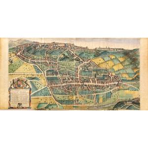


Map Of Biella: An Old Map Of Biella By Johannes Blaeu (bugella Civitas), Late 17th Century
Artist: Johannes Blaeu
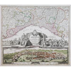
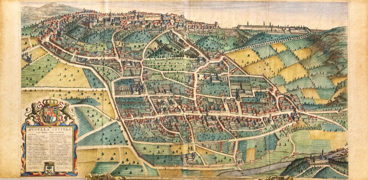
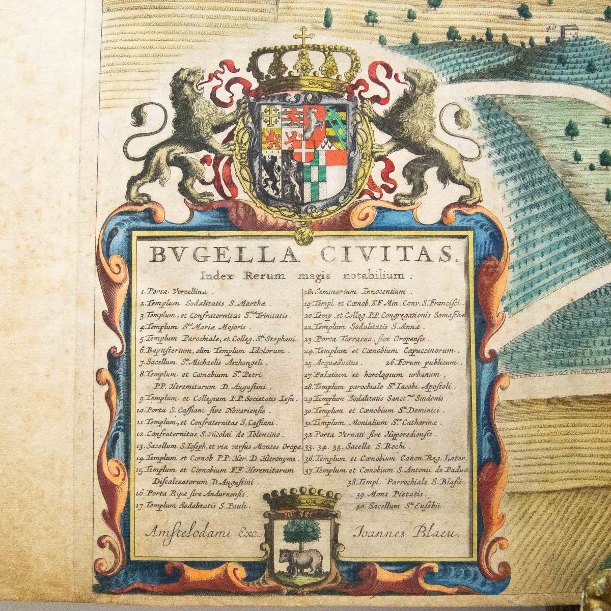
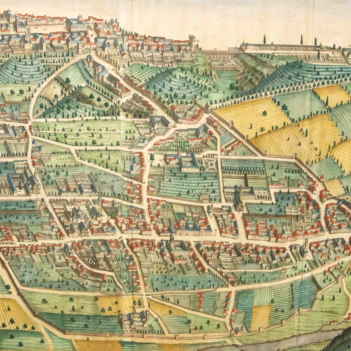
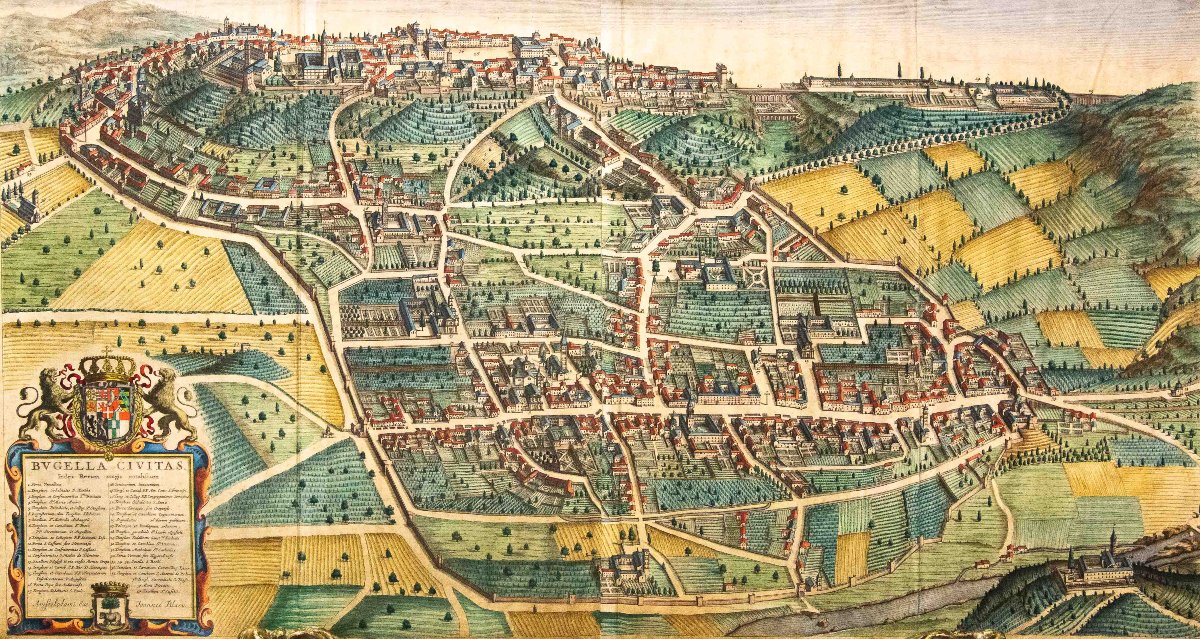
Map of Biella: Antique Map of Biella, Johannes Blaeu, (Bugella Civitas), Late 17th century
Antique engraving with watercolor
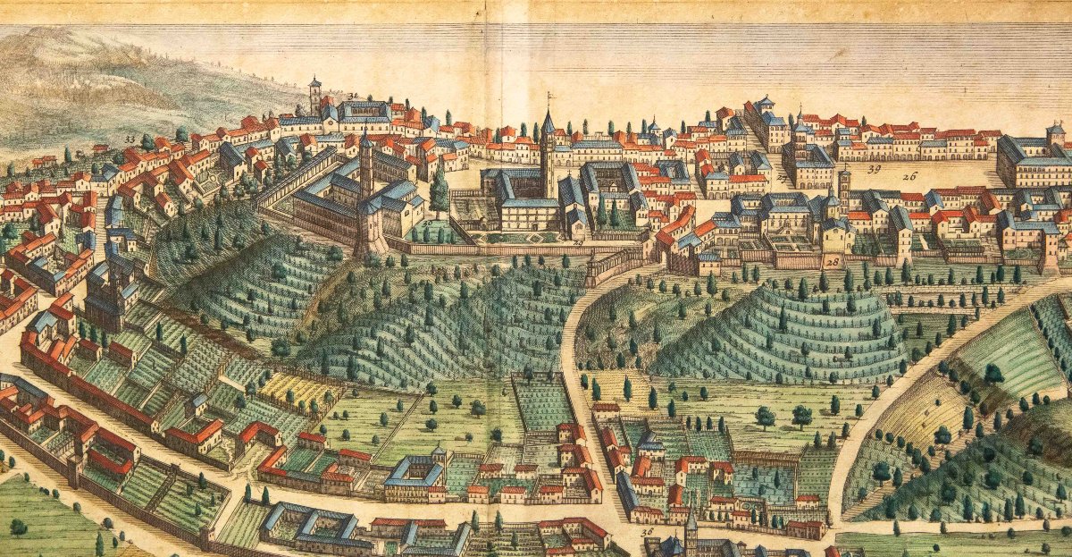
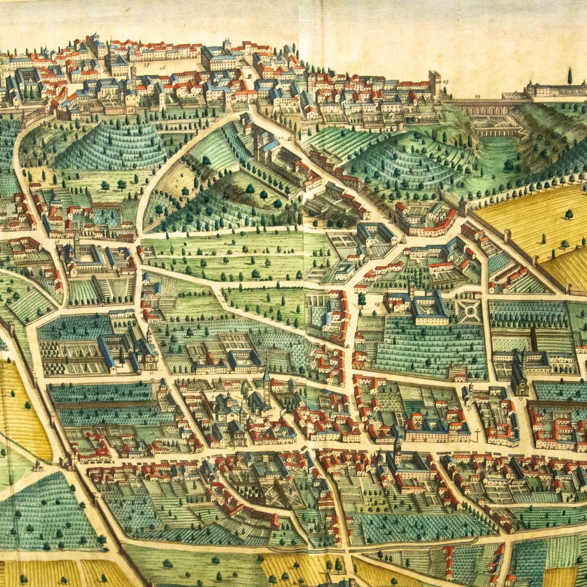
This splendid bird’s-eye view offers a 17th-century perspective of the city of Biella, located in the Piedmont region of northern Italy.
A decorative cartouche surrounds the legend, along with the coats of arms of Biella and the Duke of Savoy.
The view was designed and first published by Johannes Blaeu in the 1680s, as indicated in the cartouche
Dimensions: 55.5 × 112 cm;
1 000 €
Period: 18th century
Style: Other Style
Condition: Good condition
Material: Paper
Reference (ID): 1800297
Availability: In stock
Print