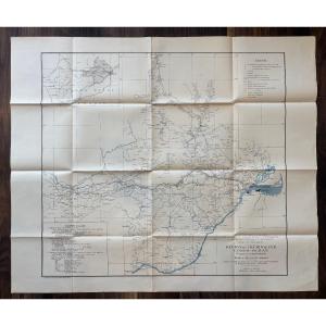


Complete Set Of 3 Topographic Maps Of The Congo-ocean Railway – A.e.f. – 1929–1932
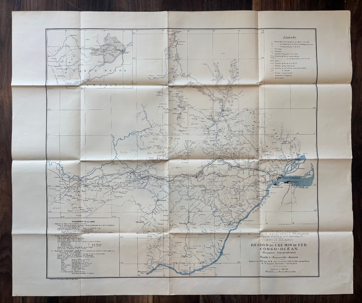
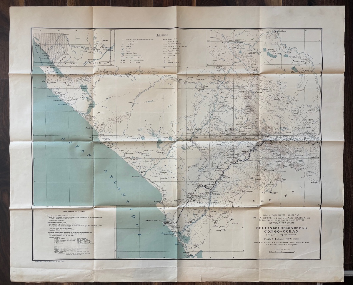
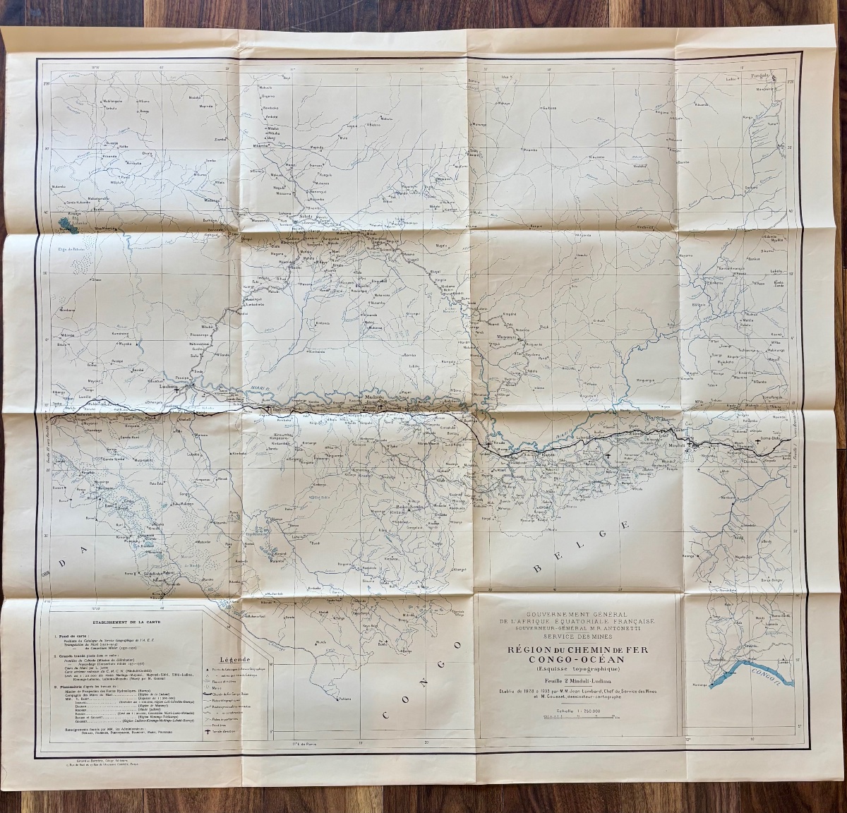
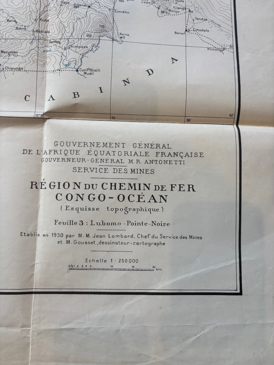
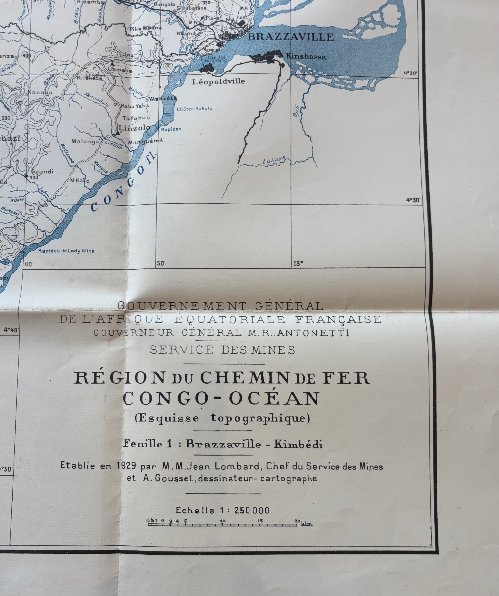
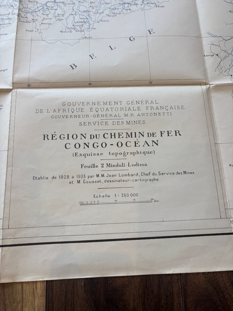
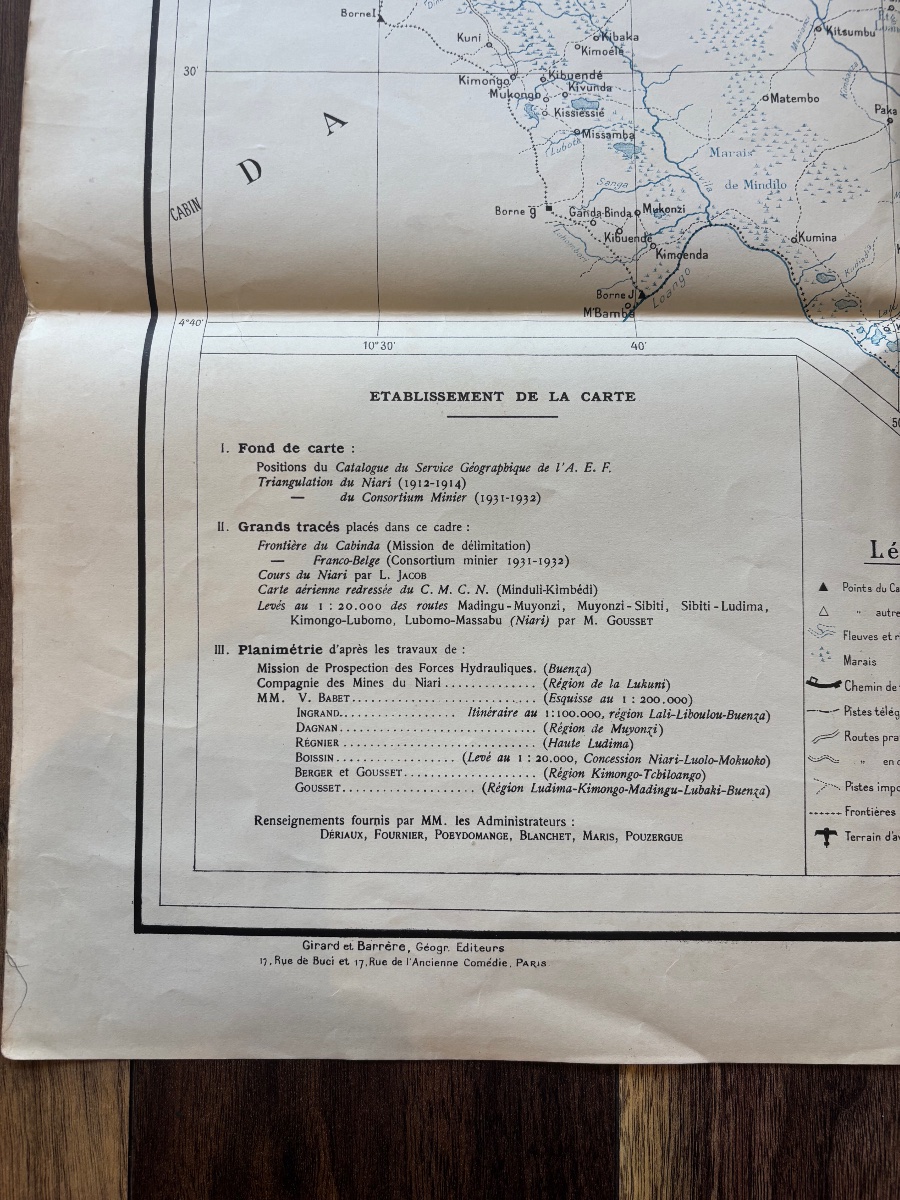
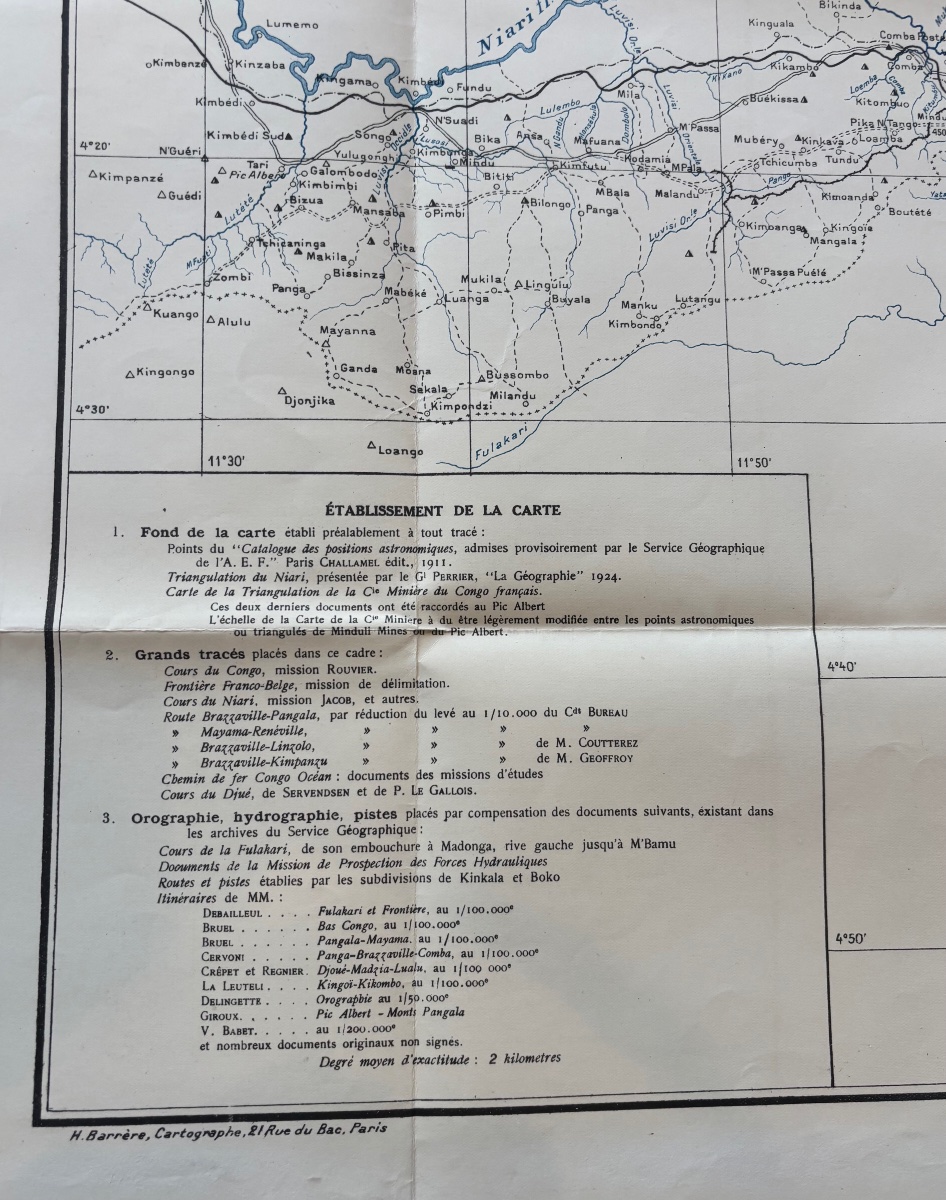
A rare complete set of three original topographic maps published by the General Government of French Equatorial Africa, Mining Department, detailing the route of the Congo-Ocean Railway, a major project in French colonial history.
This set brings together the three sheets covering the entire length of the railroad line connecting Brazzaville to Pointe-Noire:
- Sheet 1: Brazzaville – Kimbedi (produced in 1929)
- Sheet 2: Mindouli – Loudima (produced in 1932)
- Sheet 3: Loudima – Pointe-Noire (drawn in 1930)
Scale: 1:250,000
These maps were produced under the direction of Mr. Jean Lombard, Head of the Mining Service, and constitute first-rate technical documentation on the infrastructure, topography, hydrography, transportation routes, and settlements of French Equatorial Africa in the early 20th century.
Condition:
Very good overall condition. Original printing creases. Clean and well-preserved paper, with a few normal signs of handling typical for documents nearly a century old. Small tear with no loss of material on one map.
Dimensions: 104x87 cm
Free shipping within France.
Shipping to the rest of the world available
Period: 20th century
Style: Other Style
Condition: Good condition
Material: Paper
Width: 104
Height: 87
Reference (ID): 1796284
Availability: In stock