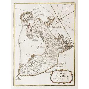
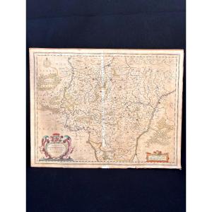
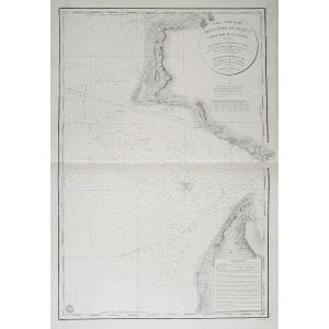
18th-century Map By Bellin: Reduced Map Of The Coasts Of Guyana (sic)
Artist: Bellin Jacques-nicolas ( 1703-1772 ) Cartographe
A beautiful map with full margins in original colors, with the usual central fold; two brown spots in the outer corners; slight yellowing mainly along the edges.
Drawn by Jacques-Nicolas Bellin (1703–1772), chief engineer of the Navy’s Map and Plan Repository, under the ministry of Mr. Berryer, for the service of the king’s ships.
1760
- Technique: Etching with watercolor
- Copper width: 895.00
- Copper height: 590.00
- Sheet width: 938.00
- Sheet height: 620.00
200 €
Period: 18th century
Style: Other Style
Condition: Good condition
Material: Paper
Width: 938 mm
Height: 620 mm
Reference (ID): 1801245
Availability: In stock
Print