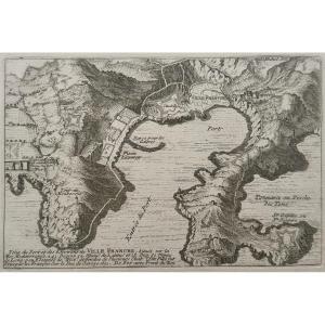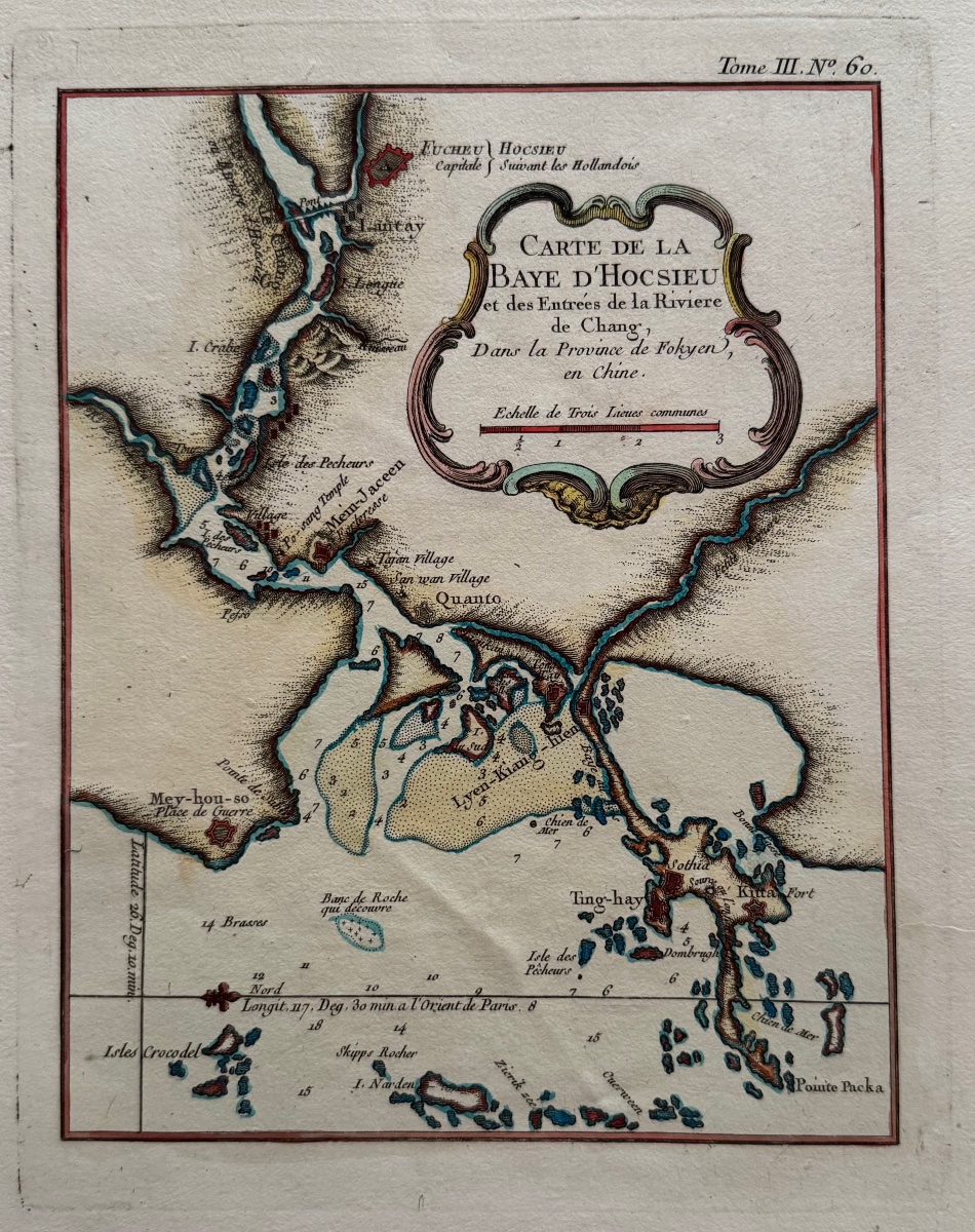
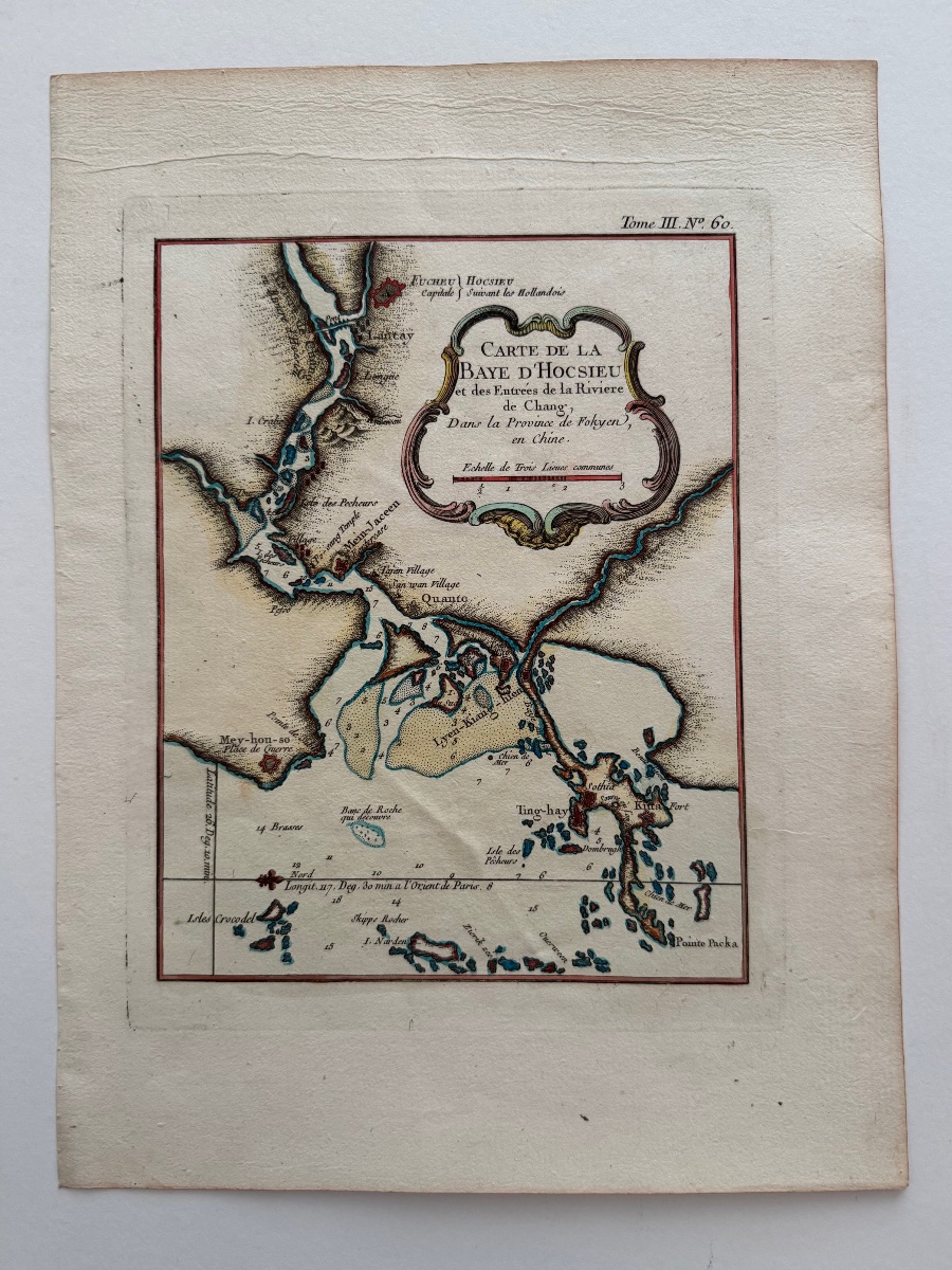
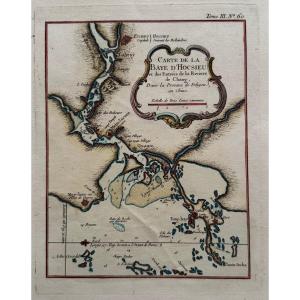

Map Of Hocsieu Bay (china). C. 1760
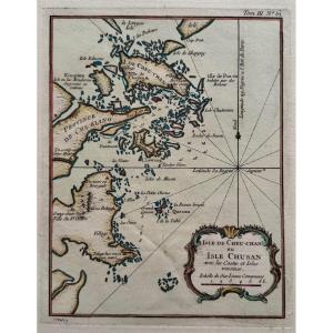
Map of Hocsieu Bay and the mouths of the Chang River (China). c. 1760
125 €
Period: 18th century
Style: Other Style
Condition: En l'etat
Material: Paper
Width: 18,5 cm (au coup de planche)
Height: 23,5 cm (au coup de planche)
Reference (ID): 1776787
Availability: In stock
Print