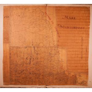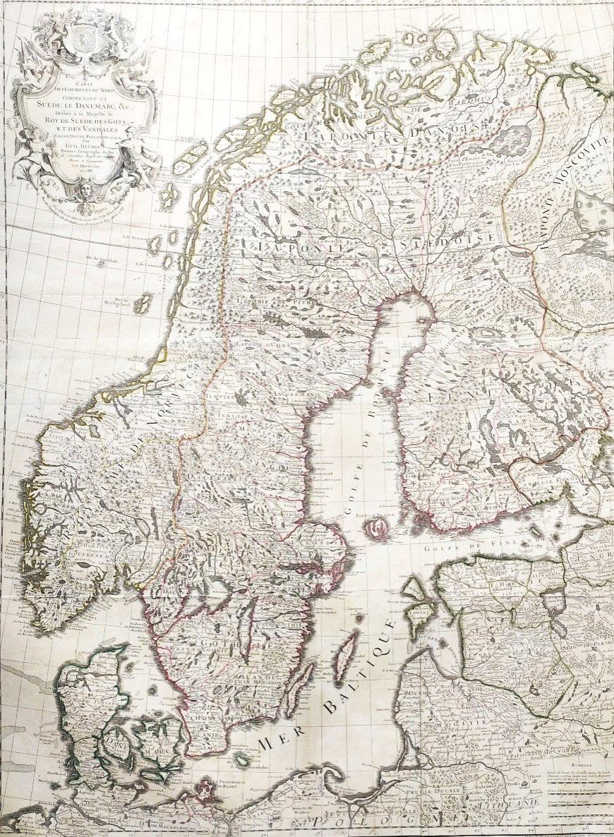


Suède Et Danemark Carte Géographique 18ème
Denmark and Sweden
18th c. map
dedicated to her majesty the King of Sweden, Gots and Vandals
by Guillaume Delisle, 1st geographer of the King, member of the Royal Academy of Sciences
completed by Dezauche in 1788
Good condition. Small tears in the margin, repaired (see photos).
83,1 x 62,6 cm au trait 32.71 x 24.64 inches
95 x 79 cm feuille 37.40 x 31.10 in.
.
580 €
Period: 18th century
Style: Louis 15th - Transition
Condition: Good condition
Material: Paper
Width: 79 cm
Height: 95 cm
Reference (ID): 1349929
Availability: In stock
Print