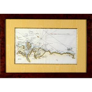
Old Maps

Rare Carte Marine De La Vendée - N°27 - De Beauvoir Aux Les Sable[...]
18th century
![]()
Coastal Map Of Brittany - Pleubian - Isle De Bréhat - Paimpol - P[...]
18th century
![]()

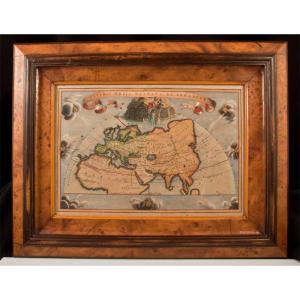
G De l'Isle- Ieremiah Wolff- 6 Engravings On The Continents, 18th[...]
18th century

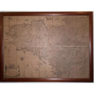
Engraving - Large Nautical Chart Of The Isle Of Aurigny - From l'[...]
18th century
![]()
Map Of The City Of Geneva, 90x77cm, Framed Engraving, Late 18th C[...]
18th century

Nautical Chart Of Brest Harbor, 18th Century – Brittany - Finistè[...]
18th century


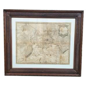
Moithey Maurille-antoine Historical Map Of Paris From 1774, 111 C[...]
18th century
![]()

Engraving - Marine Chart - "part Of Flanders, Picardy And Boulogn[...]
18th century
![]()

Rare Engraving - Map Of Marseille And Its Suburbs - Mid-18th Cent[...]
18th century
![]()


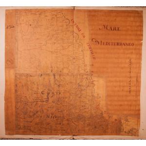
Rare Engraving Marine Map Of Vendée - No. 27 - Beauvoir - Isle d'[...]
18th century
![]()
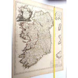
Jaillot - Les Prévotez, Offices, Senehaussee And County Of The Ba[...]
18th century
![]()

Duchy Of Tuscany. Card From Tob. Majero Year 1748. Measures 56 X [...]
18th century
Geometric Map Of The Province Of Brittany - 1771 By Jbogée
18th century
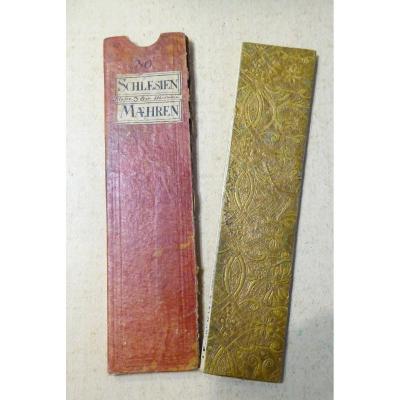
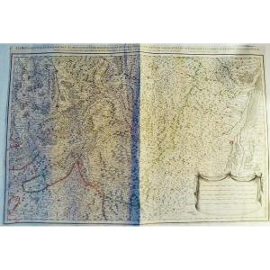
18th Century Color Travel Map, Austerlitz Region, Silesia, Moravi[...]
18th century
![]()