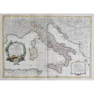
Old Maps
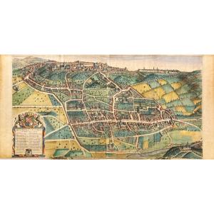
Map Of Biella: An Old Map Of Biella By Johannes Blaeu (bugella Ci[...]
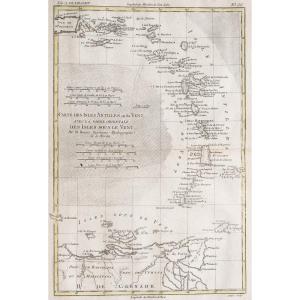
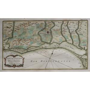
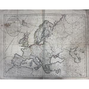
18th century

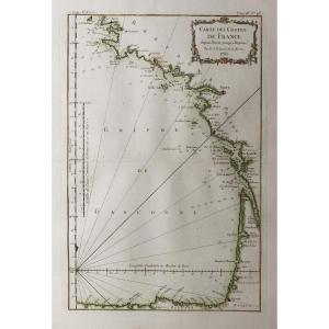
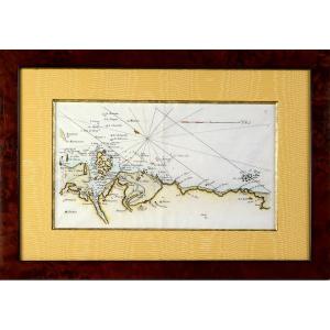
Map Of The Mediterranean Sea From Marseille To Les Lecques, 18th [...]
18th century
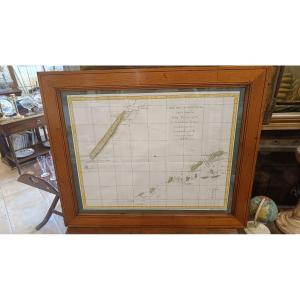
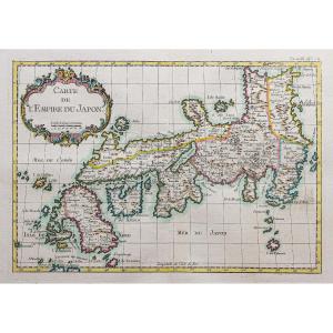
18th-century Watercolor Map Of New Caledonia, From Cook’s 1774 Vo[...]
18th century
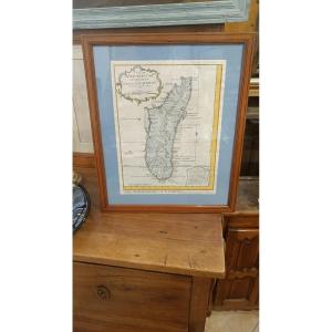
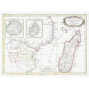
18th-century Watercolor Map Of The Island Of Madagascar, By N. Be[...]
18th century
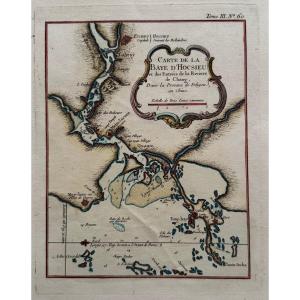
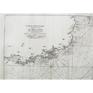
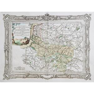
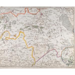
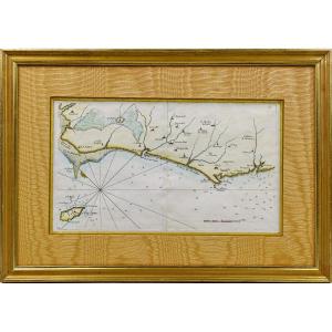
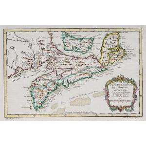
Côtes De Bretagne l'Anse De Goulven Isle Of Ouessant Old Geograph[...]
18th century
![]()
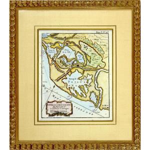
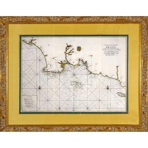
Beautiful And Large Marine Map - From Le Havre De Grâce To Isigny[...]
18th century
![]()
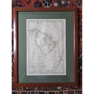
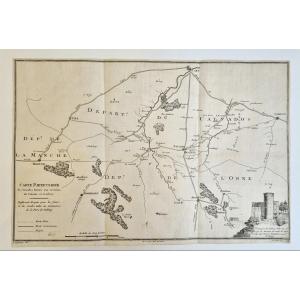
Engraving Of Morbihan (56) - Departmental Map - Revolutionary Ep.[...]
18th century
![]()


Antique Map Of Catholic Belgium And The 10 Provinces, 1747 By Tob[...]
18th century
![]()

Rare Carte Marine De La Vendée - N°27 - De Beauvoir Aux Les Sable[...]
18th century
![]()

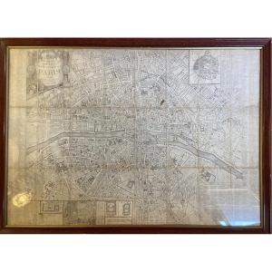
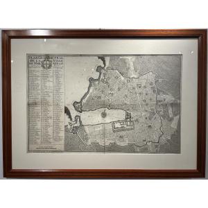
Large Map Of Paris In 1589 Published In 1705 In A Papier-mâché Fr[...]
18th century
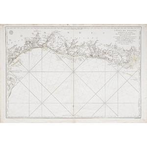
Coastal Map Of Brittany - Pleubian - Isle De Bréhat - Paimpol - P[...]
18th century
![]()

Geometrical Plan Of The City Of Marseille, Jean Pierre Besson Fil[...]
18th century

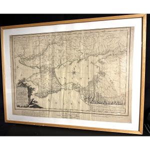
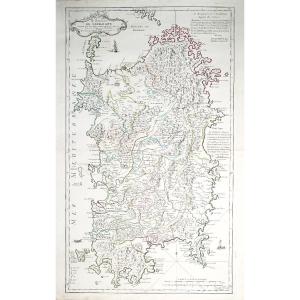
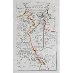
Large Map 1788, Government Of Tauride, Crimea, By Dezauche, Russi[...]
18th century
![]()

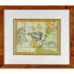
G De l'Isle- Ieremiah Wolff- 6 Engravings On The Continents, 18th[...]
18th century


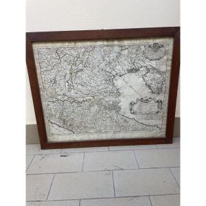
Watercolor And Framed Map Of The Province Of Brittany, Montecaler[...]
18th century


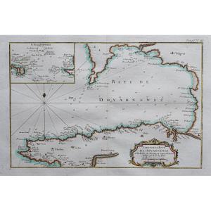
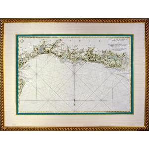
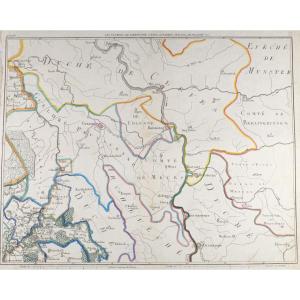
Engraving - Large Marine Chart From The Bay Of Audierne To The Is[...]
18th century
![]()


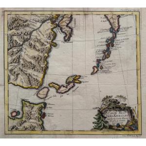
Engraving - Large Nautical Chart Of The Isle Of Aurigny - From l'[...]
18th century
![]()