Old Maps
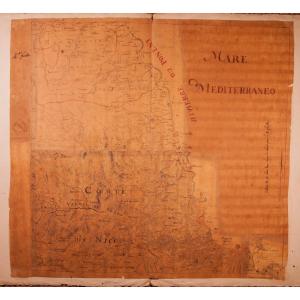
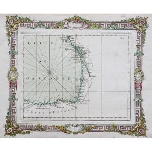
18th Century Watercolor Marine Map Of The Coasts Of Vendée, Ile d[...]
18th century
390 €
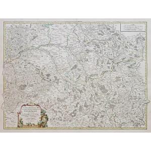
Geometric Map Of The Province Of Brittany - 1771 By Jbogée
18th century
1 250 €


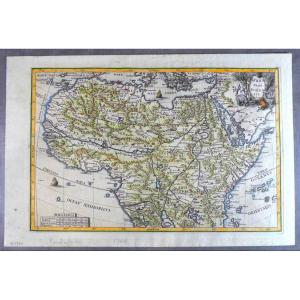
1699, Pretty Jesuit Map Of North Africa, Period Edition And Hand [...]
18th century
380 €
![]()
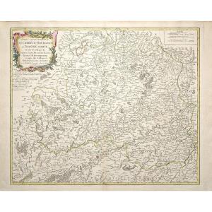
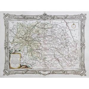
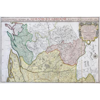
Map "general Governments Of The March Of Limosin And Auvergne", 1[...]
18th century
220 €


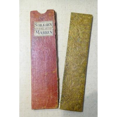
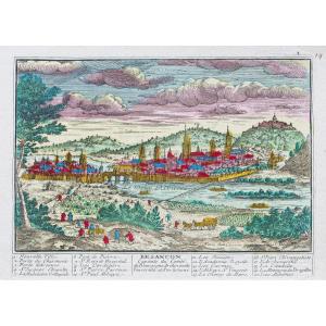
18th Century Color Travel Map, Austerlitz Region, Silesia, Moravi[...]
18th century
140 €
![]()

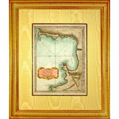
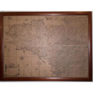
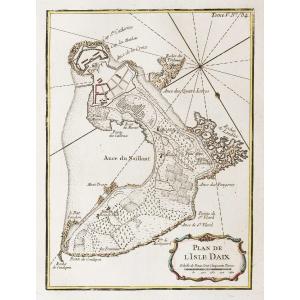
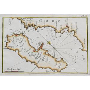
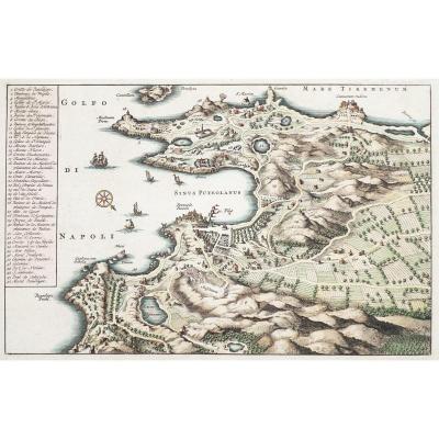
Corsica - Rare Marine Chart Engraving - Plan Of The Baye De Calvi[...]
18th century
300 €
![]()


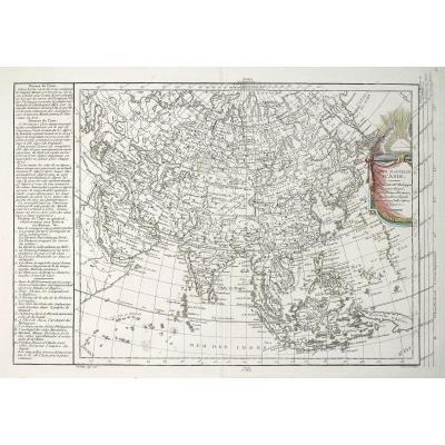
La Pérouse - Antique Geographic Map Of The Coasts Of America & As[...]
18th century
450 €
![]()

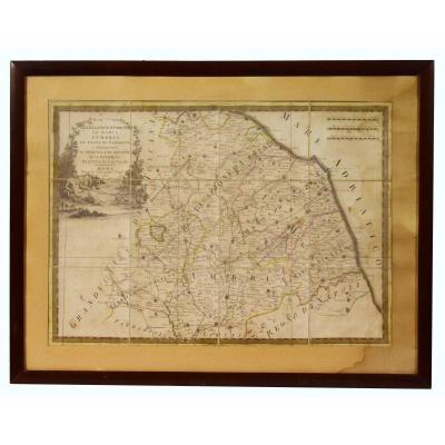
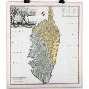
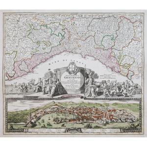
Map Of Italy XVIII Legazione Of Urbino La Marca l'Umbria Lo Stato[...]
18th century
380 €


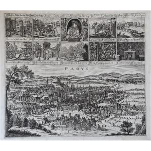
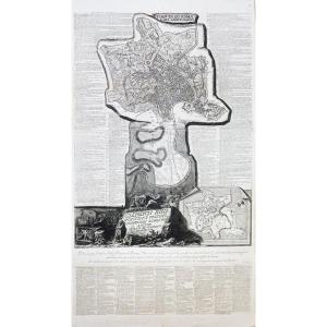
Nicolas De La Mare: Seventh Plan Of The City Of Paris 1705
18th century
700 €

View Of The Arno And The City Of Florence, Optical Engraving 18th[...]
18th century
200 €
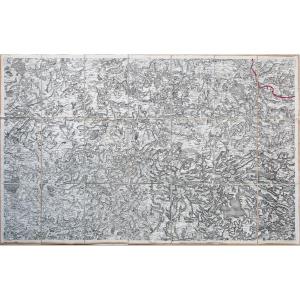
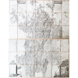
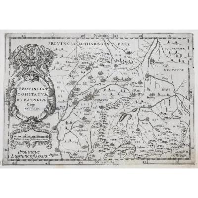
1763 Seguin Particular Card Of The Duchy Of Burgundy 300 X 234 Ab[...]
18th century
2 900 €

Rare Carte Du Département Du Rhône d'Epoque Révolutionnaire.
18th century
150 €