Old Maps


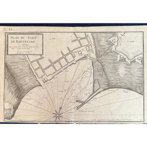
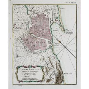
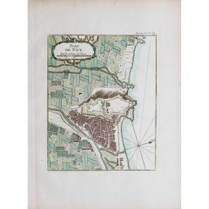
Map Of The City Of Lille, Taken Circa 1708, Watercolored From Per[...]
18th century
180 €
![]()


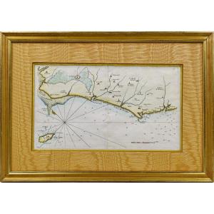
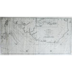
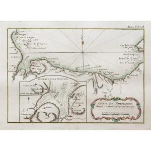
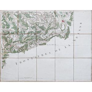
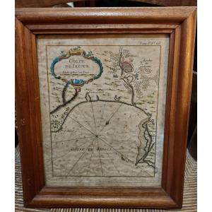
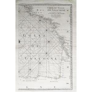
Rare Engraving Marine Map Of Vendée - No. 27 - Beauvoir - Isle d'[...]
18th century
440 €
![]()

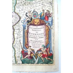
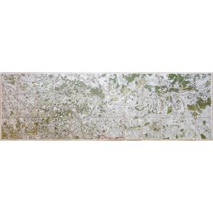
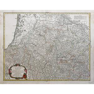
Le Gouvernement General Du Lyonnois, Belle Carte Aquarellée Et Dé[...]
18th century
340 €
![]()


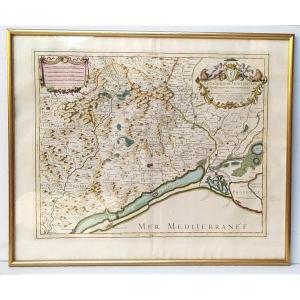
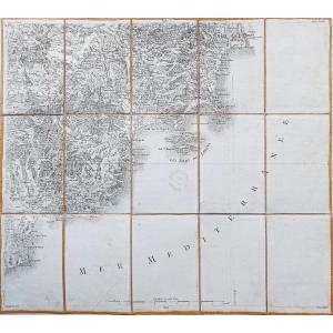
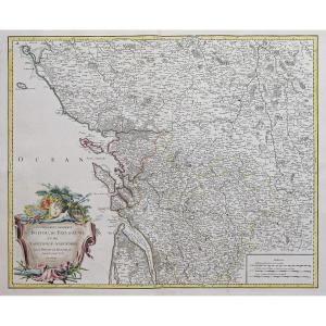
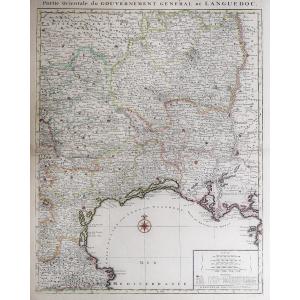
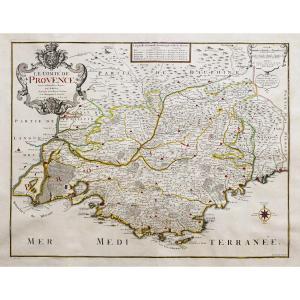
Beautiful Map Of The Archbishopric Of Montpellier, (rare), Jaillo[...]
18th century
320 €
![]()

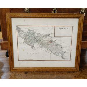
18th Century Watercolor Map Of The Ile De Ré By Le Rouge 1746
18th century
390 €

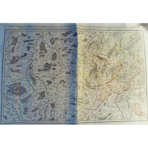
Jaillot - Part Of The Bailiwick Of Vosge Or Mirecourt, In The Duc[...]
18th century
250 €
![]()
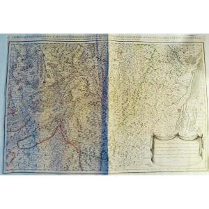
Jaillot - Les Prévotez, Offices, Senehaussee And County Of The Ba[...]
18th century
250 €
![]()

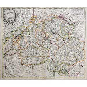


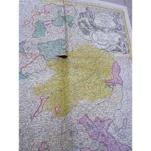
Large Map Of Bavaria By Jean-baptiste Homannum. 18th Century
18th century
350 €
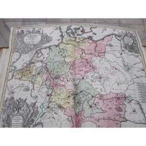
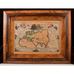
Historical Map Of The Roman Empire. By Matthew Setter. 18th Centu[...]
18th century
450 €

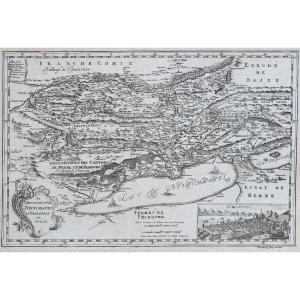
Duchy Of Tuscany. Card From Tob. Majero Year 1748. Measures 56 X [...]
18th century
350 €