Old Maps
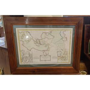
18th Century Framed Map Of New Testament Regions, Jerusalem, Holy[...]
18th century
450 €


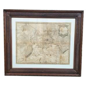
Map Of The City Of Geneva, 90x77cm, Framed Engraving, Late 18th C[...]
18th century
900 €


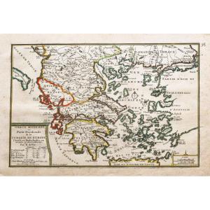
The World Known To The Ancients In 1763 By Jean-baptiste d'Anvill[...]
18th century
120 €


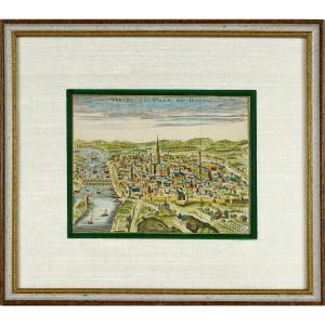
Old Engraving - View Of The City Of Rouen - Ep. Early 18th Centur[...]
18th century
330 €
![]()


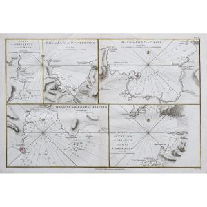
Nautical Chart Of Brest Harbor, 18th Century – Brittany - Finistè[...]
18th century
95 €


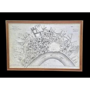
Moithey Maurille-antoine Historical Map Of Paris From 1774, 111 C[...]
18th century
2 250 €
![]()

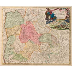
Map Of The Diocese Of Castres Tarn Bishop Of Maupeou Jaillot Cord[...]
18th century
200 €


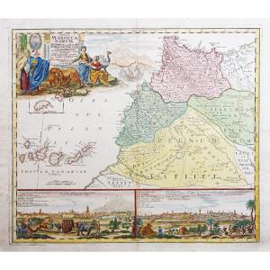
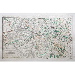
Engraving - Marine Chart - "part Of Flanders, Picardy And Boulogn[...]
18th century
570 €
![]()


Large 18th Century Marine Chart, Neptune François, Poitou, Aunis [...]
18th century
1 150 €


Map Of Paradise On Earth According To Moses, Early 18th Century
18th century
450 €


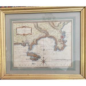
Rare Engraving - Map Of Marseille And Its Suburbs - Mid-18th Cent[...]
18th century
390 €
![]()