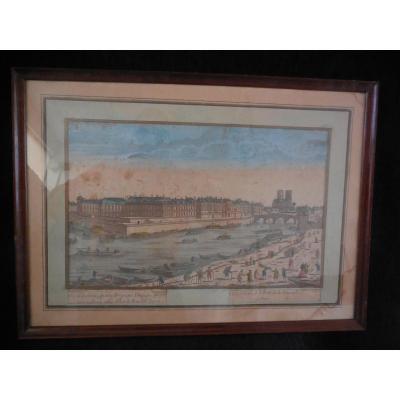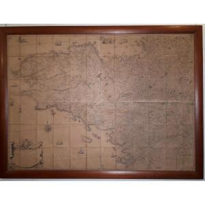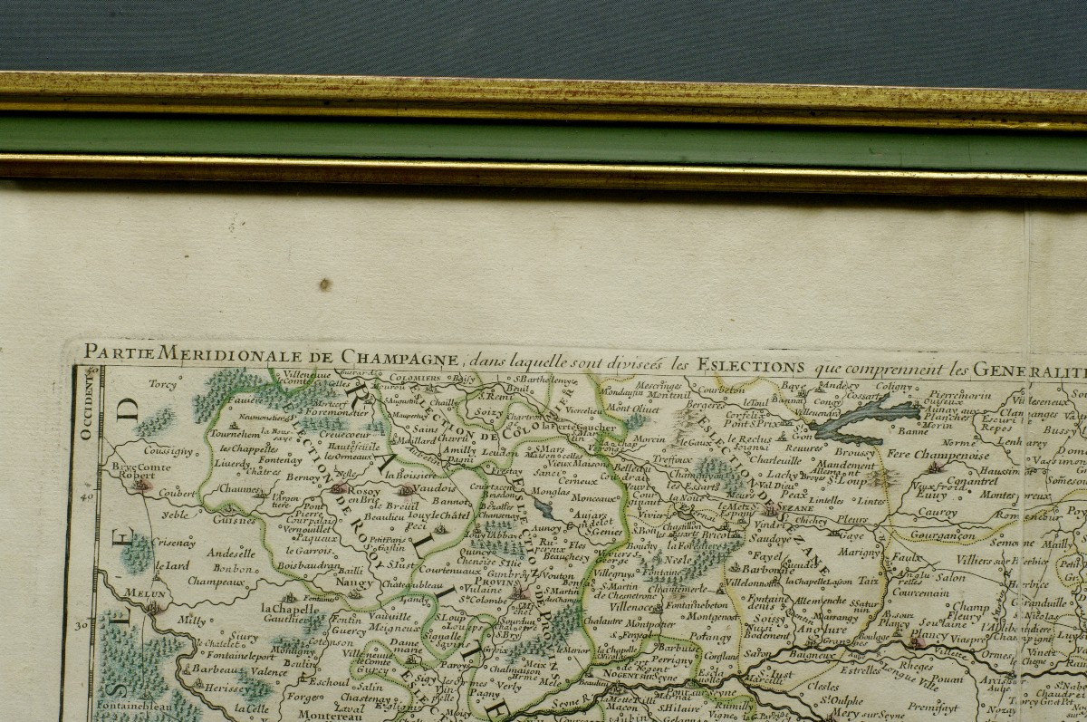


18th Century Southern Champagne Map
18th century map, geographical map of the southern part of Champagne, with Troyes in the center and Dijon at the lower limit. In a 20th century frame under glass, gilded and lacquered rod, professional frame "Duvivier in Neuilly-sur-Seine". Format with frame 79.5cm X 58.5cm. (margins preserved). Condition: two small stains (visible on photos) and chips of gilding at the corners of the frame.
260 €
Period: 18th century
Style: Louis 15th - Transition
Condition: Good condition
Material: Paper
Width: 79,5cm
Height: 58,5cm
Reference (ID): 1538707
Availability: In stock
Print