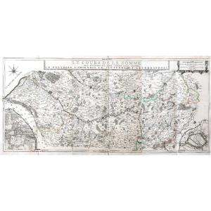
Large 18th Century Map - Saint Lucia - Caribbean - Laurie Et Whittle / Jefferys
Artist: Thomas Jeffrys
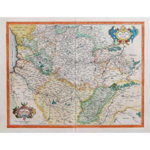
Large 18th Century Map - Saint Lucia "St. Lucia done from Surveys and Observations made by the English whilst in their Possession" This is the 1794 edition by Laurie & Witthe of Thomas Jeffrys' map. Period proof Good general condition Dimensions: 73.5 x 54 cm Dimensions at the plate: 64 x 47.6 cm
800 €
Period: 18th century
Style: Other Style
Condition: Excellent condition
Material: Paper
Width: 54 cm
Height: 73,5 cm
Reference (ID): 1399138
Availability: In stock
Print