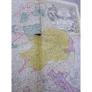
Map Of The Levant Countries Traveled By M Paul Lucas 1712
Artist: M Paul Lucas, Dressée Par G De L'isle
Map of the Levant countries traveled by M Paul Lucas, drawn up on his memoirs and on some others by G De l'Isle of the Royal Academy – 1712
Paul Lucas (1664–1737) sculptor B. Ruyter
Paul Lucas received in 1708 the title of “antiquary to the king”.
Good condition, margins partially cut, three rust marks, tiny dirt
36.5 cm X 28 cm
Paul Lucas (1664–1737) sculptor B. Ruyter
Paul Lucas received in 1708 the title of “antiquary to the king”.
Good condition, margins partially cut, three rust marks, tiny dirt
36.5 cm X 28 cm
95 €
Period: 18th century
Style: Louis 14th, Regency
Condition: Good condition
Material: Paper
Length: 36,5 cm
Height: 28 cm
Reference (ID): 1558269
Availability: In stock
Print