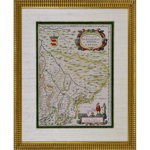
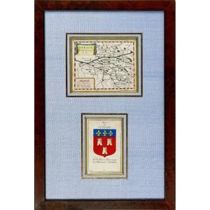
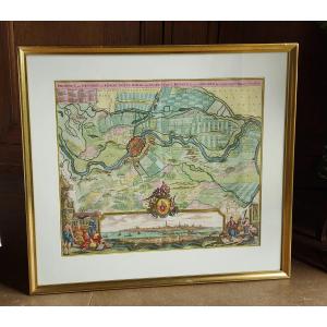
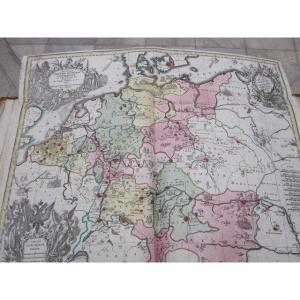
Map Of The Normandy Coast, Late 17th Century
Map Of The Normandy Coast, Late 17th Century-photo-2
Map Of The Normandy Coast, Late 17th Century-photo-3
Map Of The Normandy Coast, Late 17th Century-photo-4
Map Of The Normandy Coast, Late 17th Century-photo-1
Map Of The Normandy Coast, Late 17th Century-photo-2

Map Of The Normandy Coast, Late 17th Century

Beautiful map of the Normandy coast. Nicolas de Fer 1690. 24.5 x 35 cm
240 €

Period: 17th century

Style: Louis 14th, Regency

Condition: Good condition

Material: Paper

Reference (ID): 1415619

Availability: In stock

Print

32 rue de l'Abbé Lemire
Marcq-en-Barœul 59700, France

06 16 92 05 09

Follow the dealer

CONTACT

SIGN UP TO OUR NEWSLETTER

facebook
instagram

Ad Hoc Antiques
Map Of The Normandy Coast, Late 17th Century
1415619-main-6707d2d7241c8.jpg

06 16 92 05 09


*We will send you a confirmation email from info@proantic.com .
Please check your messages, including the spam folder.