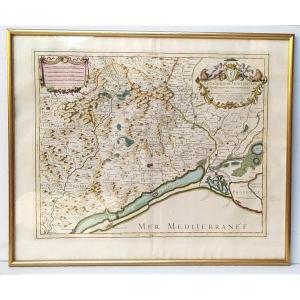
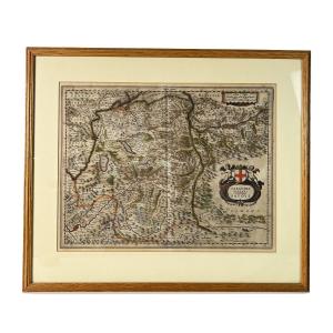
Large Old Map: Lyonnais – Burgundy – Beaujolais.
Important 18th-century map with a title cartouche adorned with a coat of arms and symbols illustrating the abundance of this region. Scale indicated.
Dimensions: 88 cm x 64 cm
Used condition - Very good color condition - Sold unframed.
Shipping: Secure packaging and delivery via Colissimo registered mail with insurance, for mainland France: €15 - Europe: €20
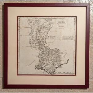
Dimensions: 88 cm x 64 cm
Used condition - Very good color condition - Sold unframed.
Shipping: Secure packaging and delivery via Colissimo registered mail with insurance, for mainland France: €15 - Europe: €20
140 €
Period: 17th century
Style: Louis 14th, Regency
Condition: Condition of use
Material: Paper
Width: 64 cm
Height: 88 cm
Reference (ID): 1713545
Availability: In stock
Print