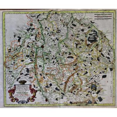
Old Maps
Map Of France Bresse And Lyonnais 17th Century Dutch Engraving Wi[...]
17th century
![]()
17th Century Map, Duchy Of Savoy Sabaudia Ducatus By Johannes Jan[...]
17th century
![]()
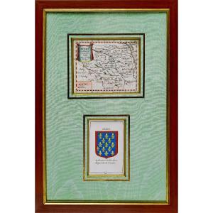
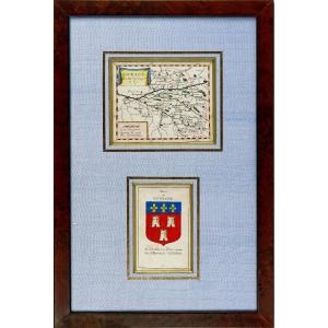
Carte Du Berry Et Son Blason - Rare Engraving - Ep. Mid 17th Cent[...]
17th century
![]()


Engraving - Map Of Maine (anjou Touraine) And Its Coat Of Arms - [...]
17th century
![]()

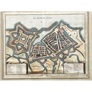
La Havre De Grace (le Hâvre) Print By Jacques Gomboust Around 165[...]
17th century
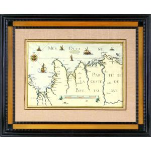
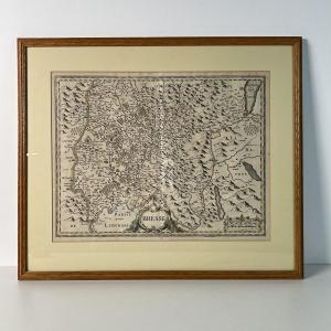
Engraving - Sea Chart From Cancale To The Poterieu Islands - The [...]
17th century
![]()
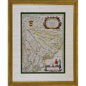
Engraving - Map Of The Principality Of Bearn (south West) By J. B[...]
17th century
![]()

Engraving - Government Of Provins (seine-et-marne - 77) - Ep. 17t[...]
17th century
![]()


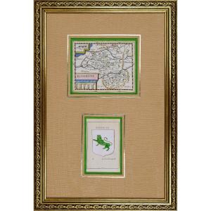
Rare Engraving Of La Rouergue Accompanied By Its Coat Of Arms - E[...]
17th century
![]()


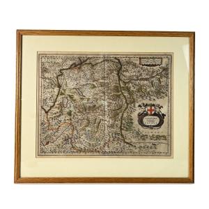
Rare Map Of Nivernois With Its Coat Of Arms (nivernais - Morvant [...]
17th century
![]()


Large Map Of Alsace. By Nicolaun Visscher 60 X 49 Cm. Colorful Fr[...]
17th century
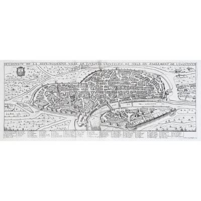
Antique Print- Description Toulouse Université Du Parlement De L[...]
17th century
![]()