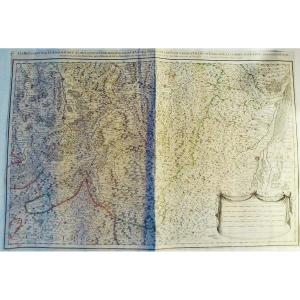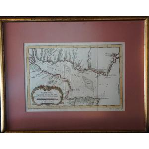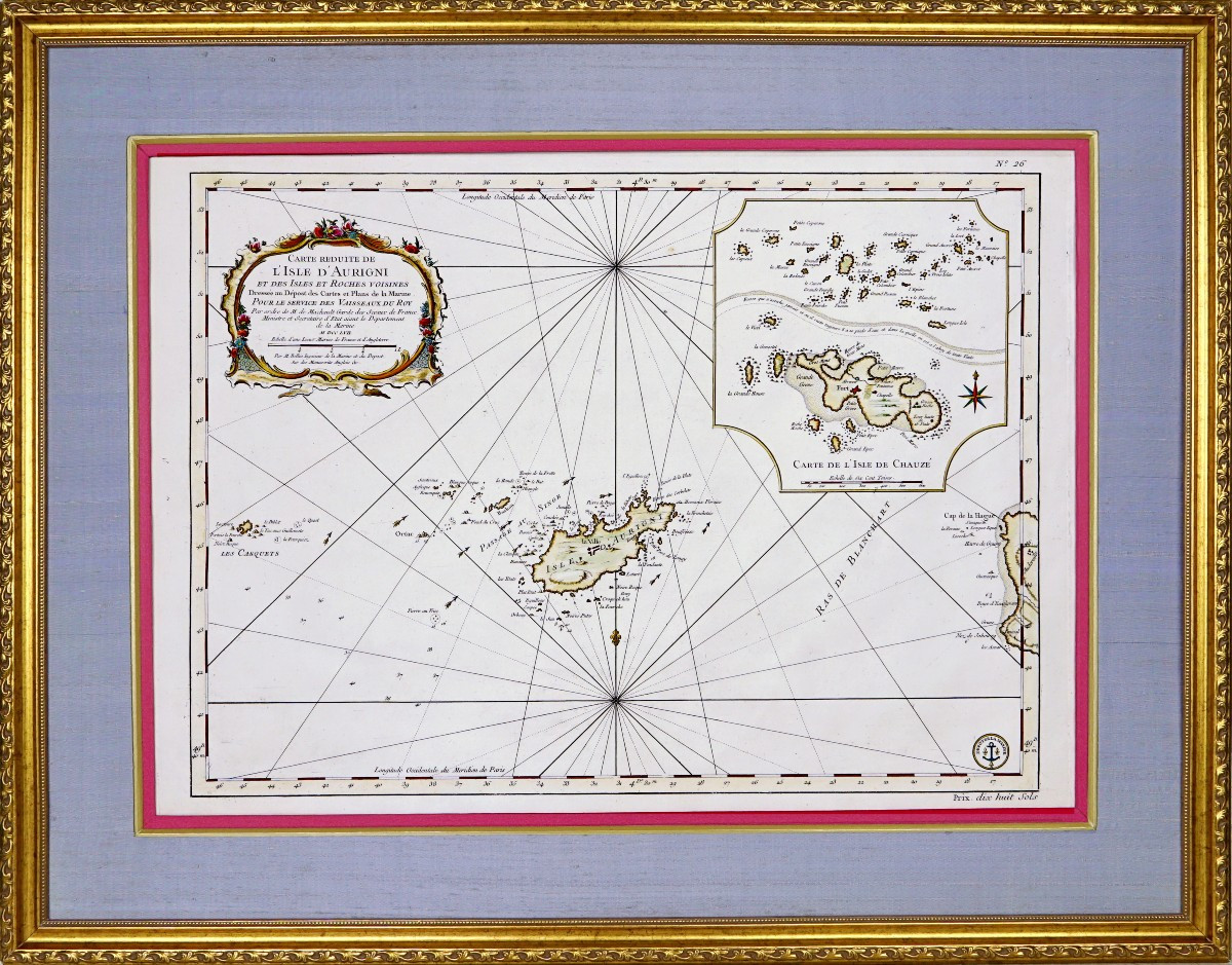
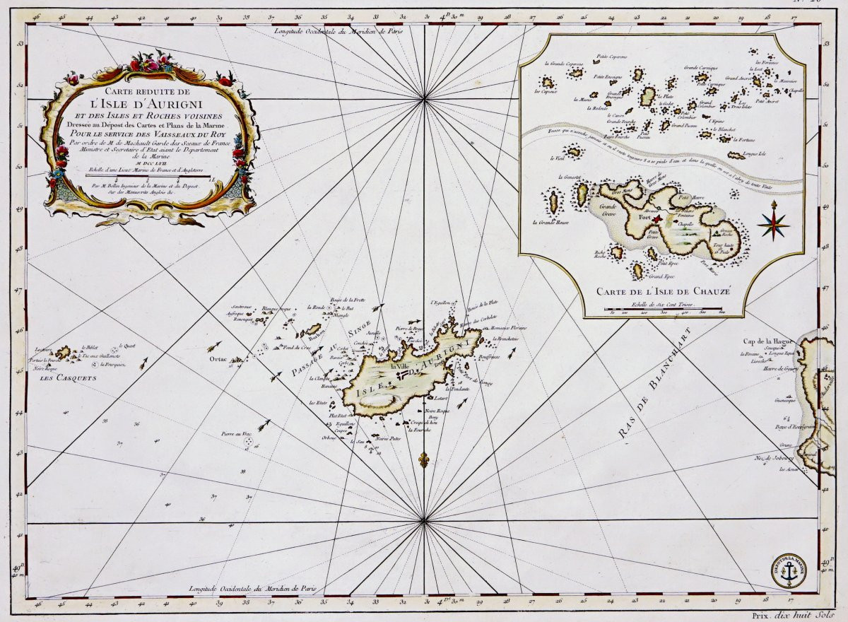


Engraving - Large Nautical Chart Of The Isle Of Aurigny - From l'Isle Chauze (chausey) - 18th Century
Artist: Jacques-nicolas Bellin
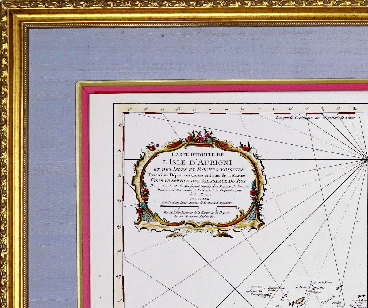
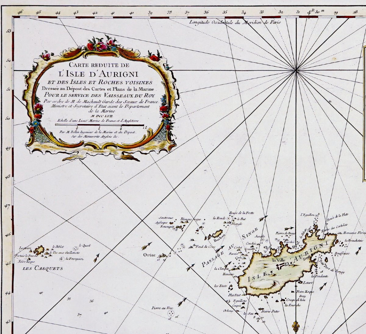
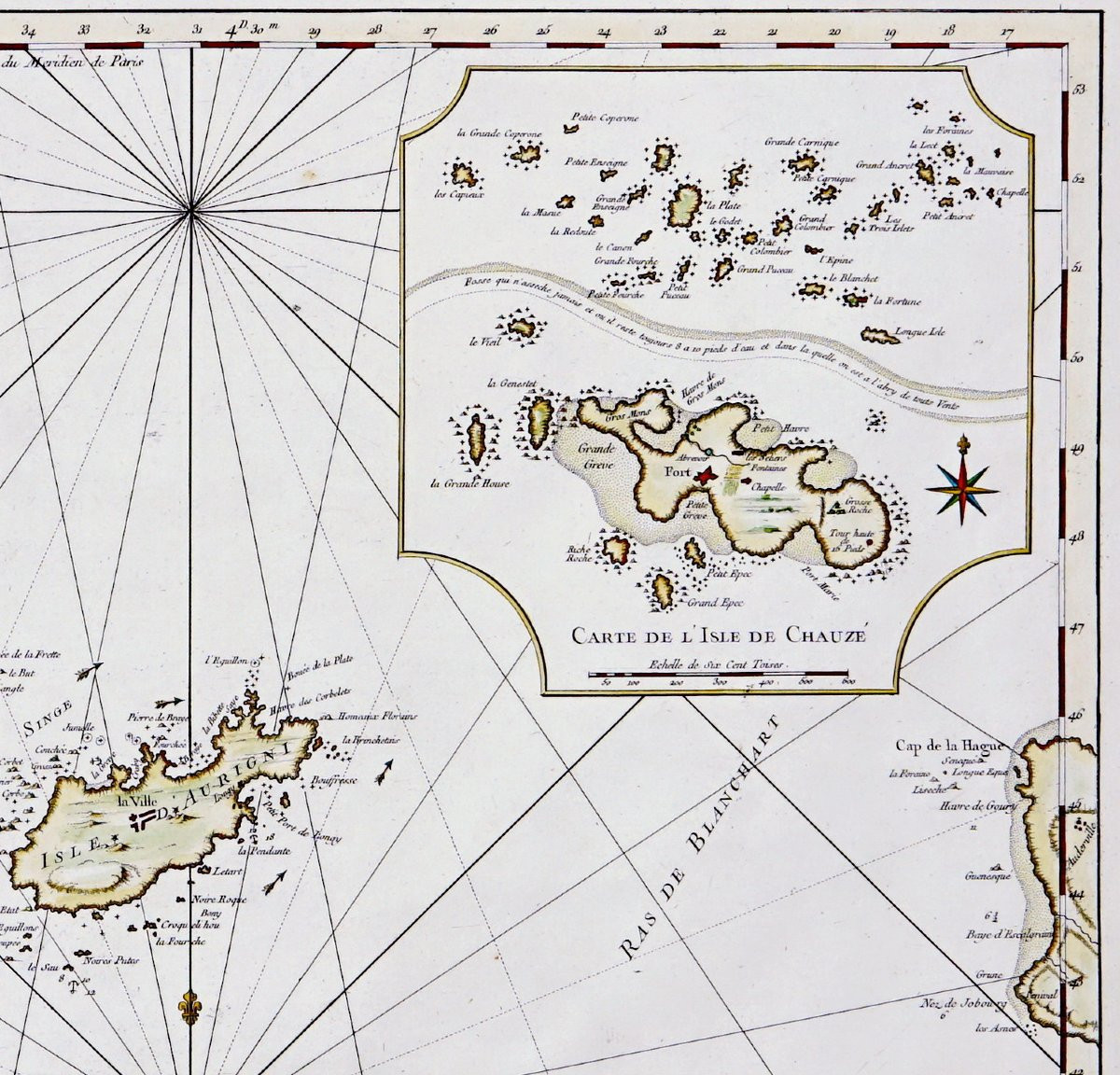
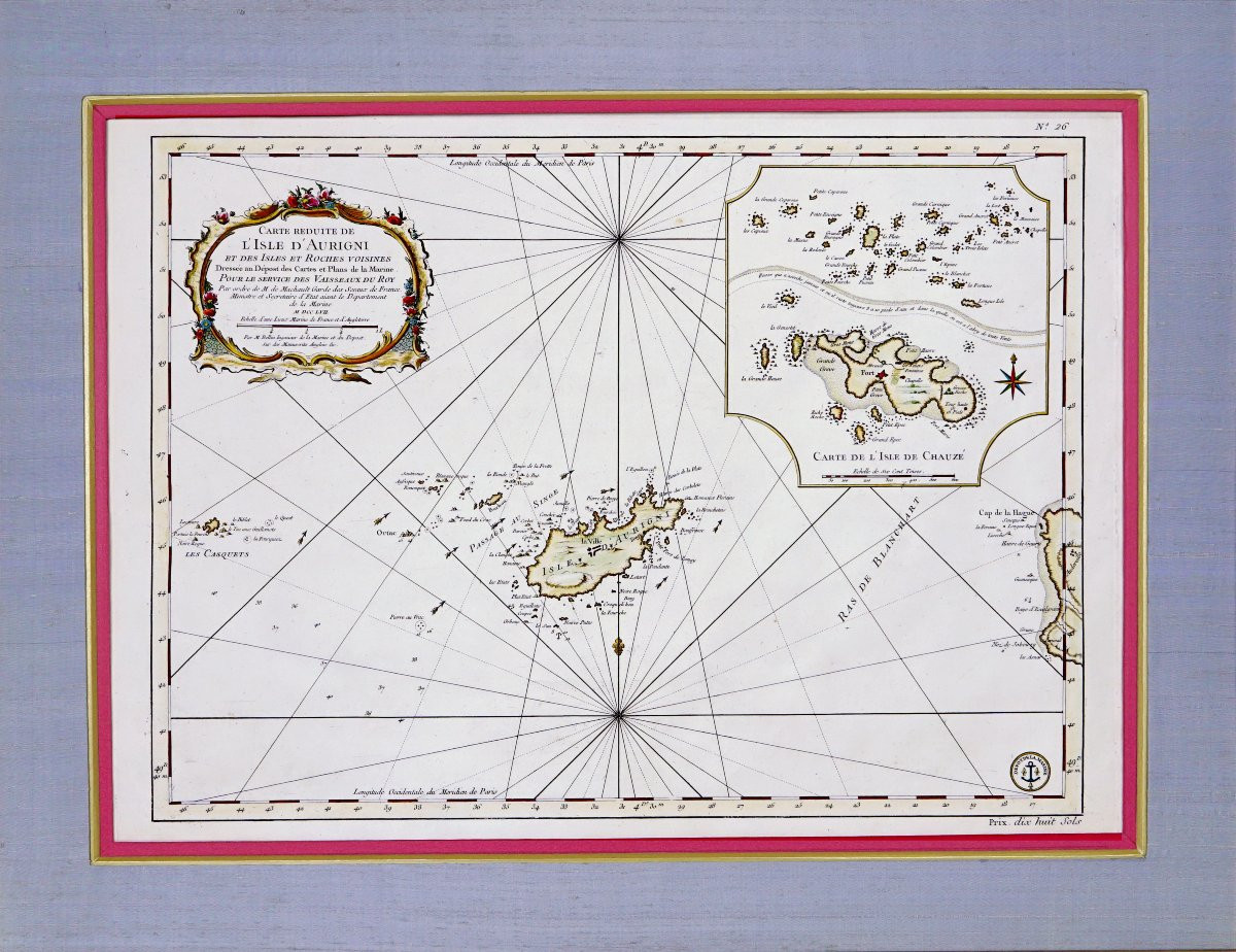
RARE and LARGE NAUTICAL CHART OF LISLE D'AURIGNY - OF L'ISLE CHAUZE (CHAUSEY) AND THE NEIGHBORHOOD ISLES AND ROCKS - Ep. 18th Original intaglio engraving, enhanced with watercolor. By Jacques-Nicolas BELLIN (1703-1772), hydrographer to the King, produced for navigation and published by the Dépôt de la Marine in the mid-18th century. EXCEPTIONAL and LARGE NAUTICAL CHART - Title in a polychrome rocaille cartouche, tight network of rumb lines starting from compass roses, fathom soundings, banks, reefs and passes. The island of Alderney is in the center, with Burhou, Ortac and the Casquets, to the east are the Alderney Race and the tip of Cape La Hague. The insert details the Chausey archipelago off Granville. Borders graduated in degrees, scale in nautical leagues, and anchor mark of the Depot of maps and plans of the Navy at the bottom right (with the engraved price mention "eighteen sols").Dimension(s): Frame: Length 79.5 cm - Height 62.5 cm - Width Baguette: 3 cm,Condition: PERFECT CONDITION,Era: 18th (1757) - LOUIS XV,Frame: CURRENT mounting, composed of a red Lukta paper net, a gold beveled net, a lavender blue wild silk mat and a wooden rod, aged gold water gilding.PAYMENT and TRANSPORTPAYMENTS ACCEPTED BANK TRANSFER / PAYPAL / BANK TRANSFER / CB online or by CHECK.PARCELS WILL BE POSTED WITHIN 4 DAYS. COMBINED SHIPPING AVAILABLE WHEN PURCHASING MULTIPLE ITEMS.
1 800 €
Period: 18th century
Style: Louis 15th - Transition
Condition: Perfect condition
Material: Paper
Length: 79.5 cm
Height: 62.5 cm
Reference (ID): 1627039
Availability: In stock
Print