

Map Of The Rio De La Plata / 18th Century / Jacques-nicolas Bellin (1703–1772)
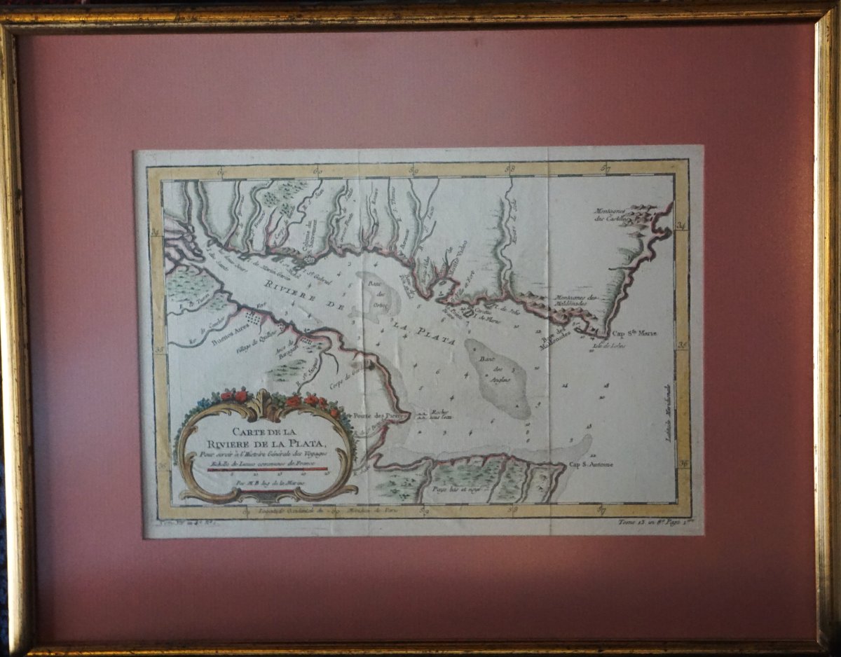
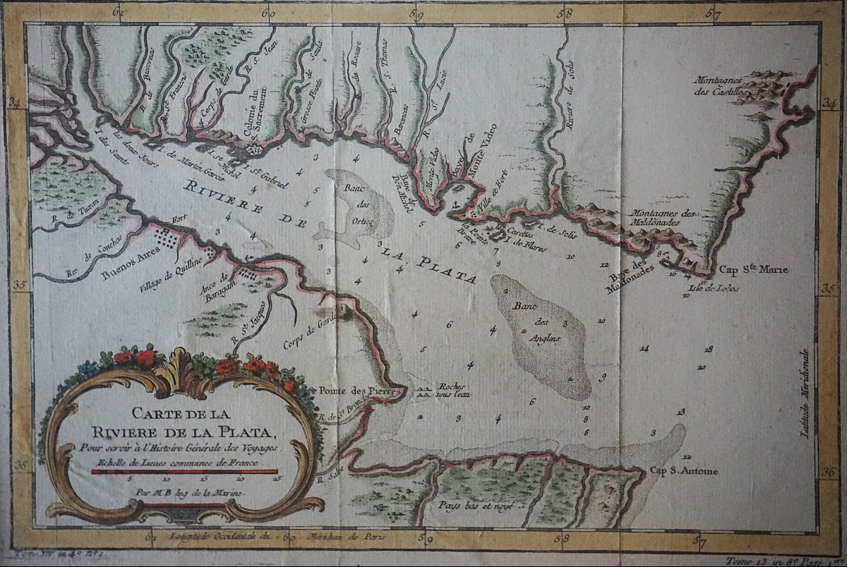
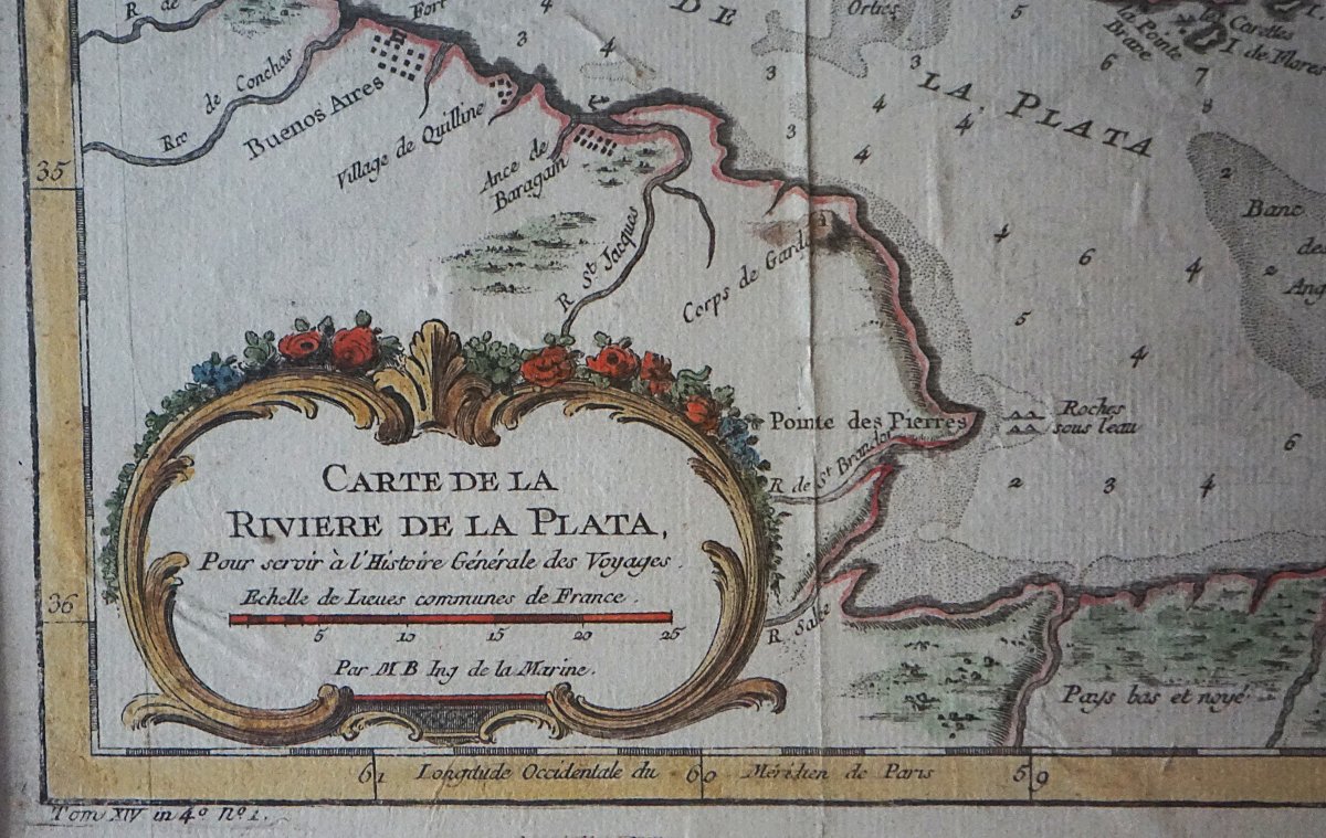
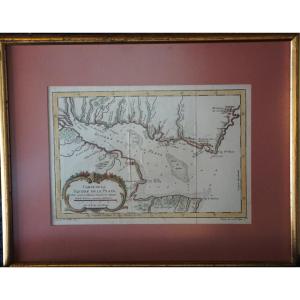
A beautiful antique engraved map from the 18th century depicting the Río de la Plata estuary in South America, between the territories that today correspond to Argentina and Uruguay.
Produced by Jacques-Nicolas Bellin, one of the great French cartographers and hydrographers of the 18th century, this map is part of the major publishing project Histoire générale des voyages by Abbé Prévost. Bellin, a naval engineer and renowned specialist in maritime cartography, accurately compiled the geographical and nautical information available in his time.
The map presents, in great detail, the Río de la Plata and its mouth on the Atlantic Ocean, notably featuring Buenos Aires, Montevideo, Colonia, Maldonado, the various capes and bays, as well as the numerous waterways and coastal settlements. The markings for sandbars, soundings, shoals, and depths attest to the map’s nautical purpose and the strategic importance of the Río de la Plata for European navigation.
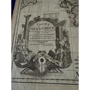
The elegant rocaille cartouche, adorned with plant and floral motifs, is a particularly decorative element. The period coloring, with territorial boundaries highlighted in color, lends the map great charm and makes it suitable for inclusion in both a collection of antique maps and an interior seeking a historic and decorative piece.
Beyond its aesthetic appeal, this map serves as a historical document on the geographical knowledge of South America in the mid-18th century, at a time when the Río de la Plata played a significant role in European commercial, maritime, and colonial rivalries.
Copper engraving, 18th century, with original hand coloring.
Image size 21 x 29
with frame 35 x 44
Period: 18th century
Style: Louis 15th - Transition
Condition: Good condition
Material: Paper
Reference (ID): 1825497
Availability: In stock