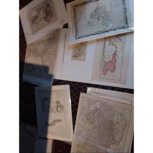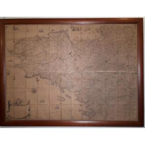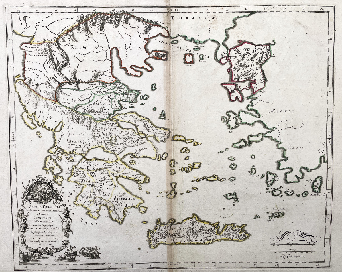
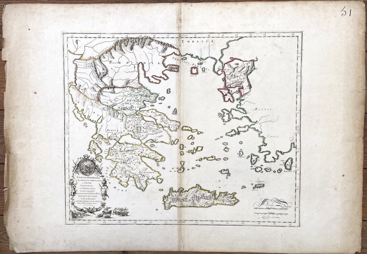
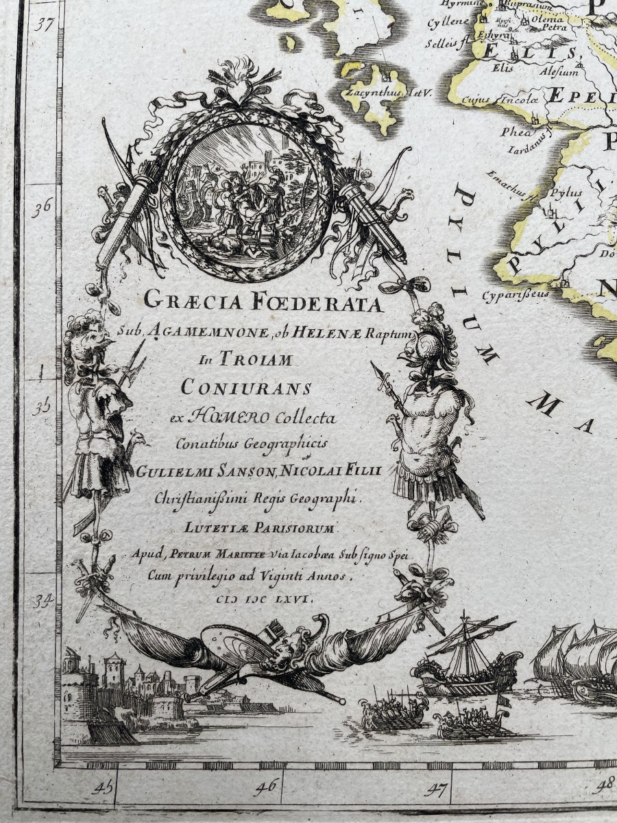
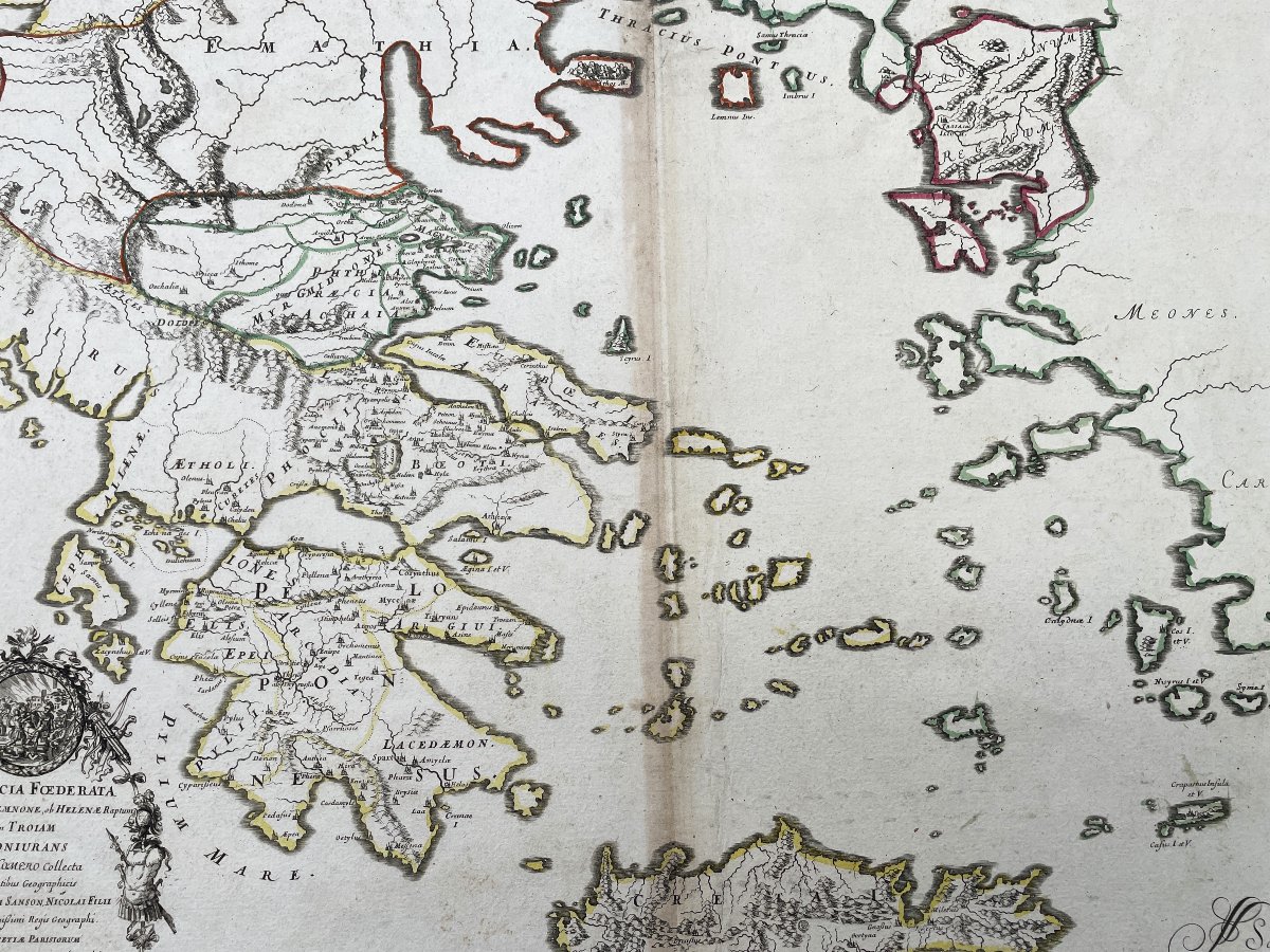


Ancient Greece Map “graecia Foederata” 1730
Artist: Nicolas Sanson
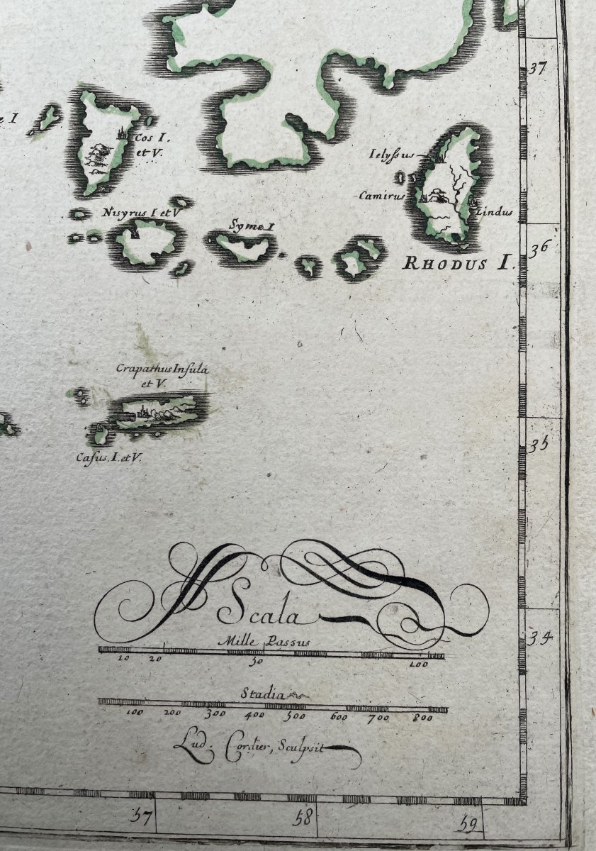
This rare map of ancient Greece depicts the region at the time of Agamemnon, Helen of Troy, and Homer.
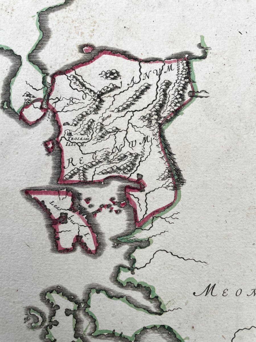
The map expands to show western Turkey.
Decorated with an elaborate title cartouche symbolizing the wars in the region, with a vignette of a fortified seaside town and galleons on the sides.
Large format copper-engraved color map from his atlas "Cartes Générales de toutes les parts du Monde."
This atlas is considered by some to be the first major world atlas.
Very fresh colors delineating regions. G
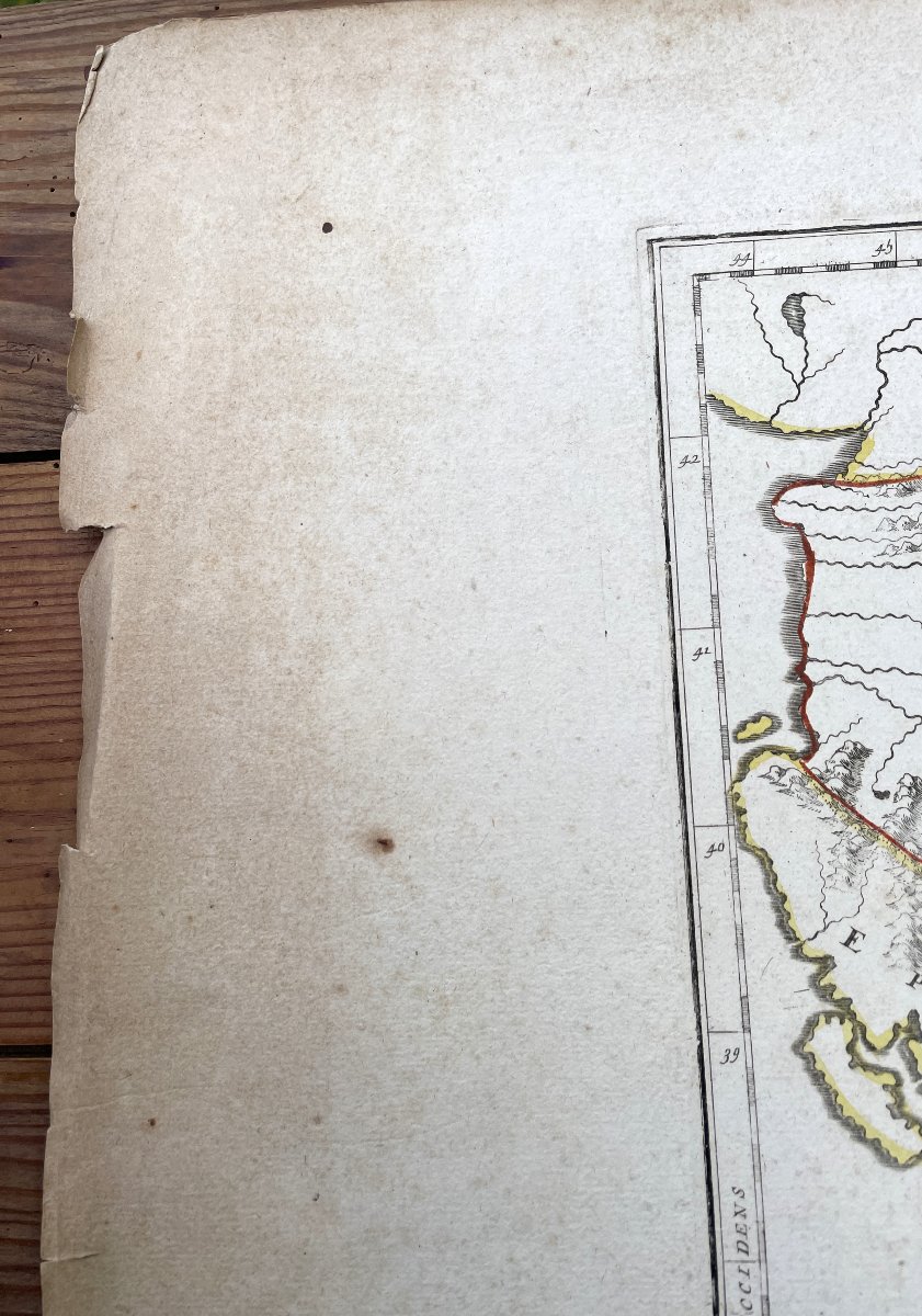
ood overall condition, some soiling, small tears on the outer margins, crease in the center.
Circa 1730.
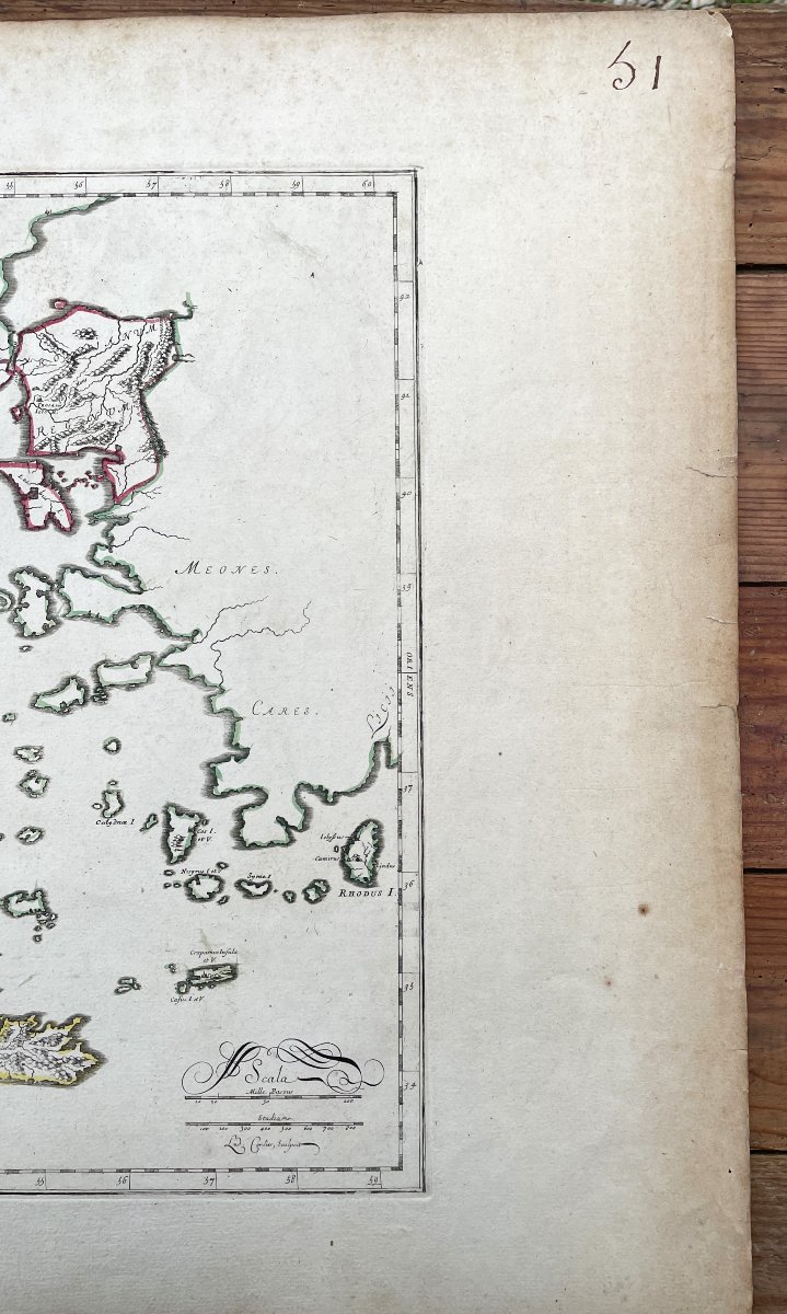
Dimensions sheet 55 cm X 97 cm - plate 51.1 X 40.1 cm
The map expands to show western Turkey.
Decorated with an elaborate title cartouche symbolizing the wars in the region, with a vignette of a fortified seaside town and galleons on the sides.
Large format copper-engraved color map from his atlas "Cartes Générales de toutes les parts du Monde."
This atlas is considered by some to be the first major world atlas.
Very fresh colors delineating regions. G
ood overall condition, some soiling, small tears on the outer margins, crease in the center.
Circa 1730.
Dimensions sheet 55 cm X 97 cm - plate 51.1 X 40.1 cm
150 €
Period: 18th century
Style: Louis 15th - Transition
Condition: Good condition
Material: Paper
Length: 97 cm
Height: 55 cm
Reference (ID): 1562377
Availability: In stock
Print