

Year 1749 - Antique Map “the Magellanic Lands” – Robert De Vaugondy
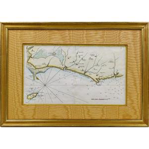
Antique Map “The Magellanic Lands” – Robert de Vaugondy, 1749
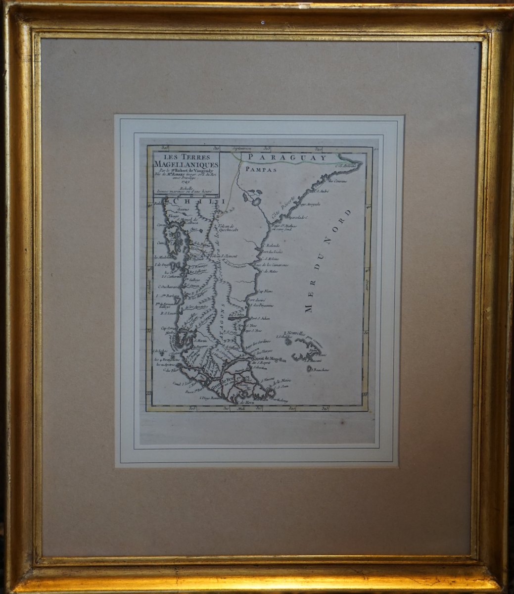
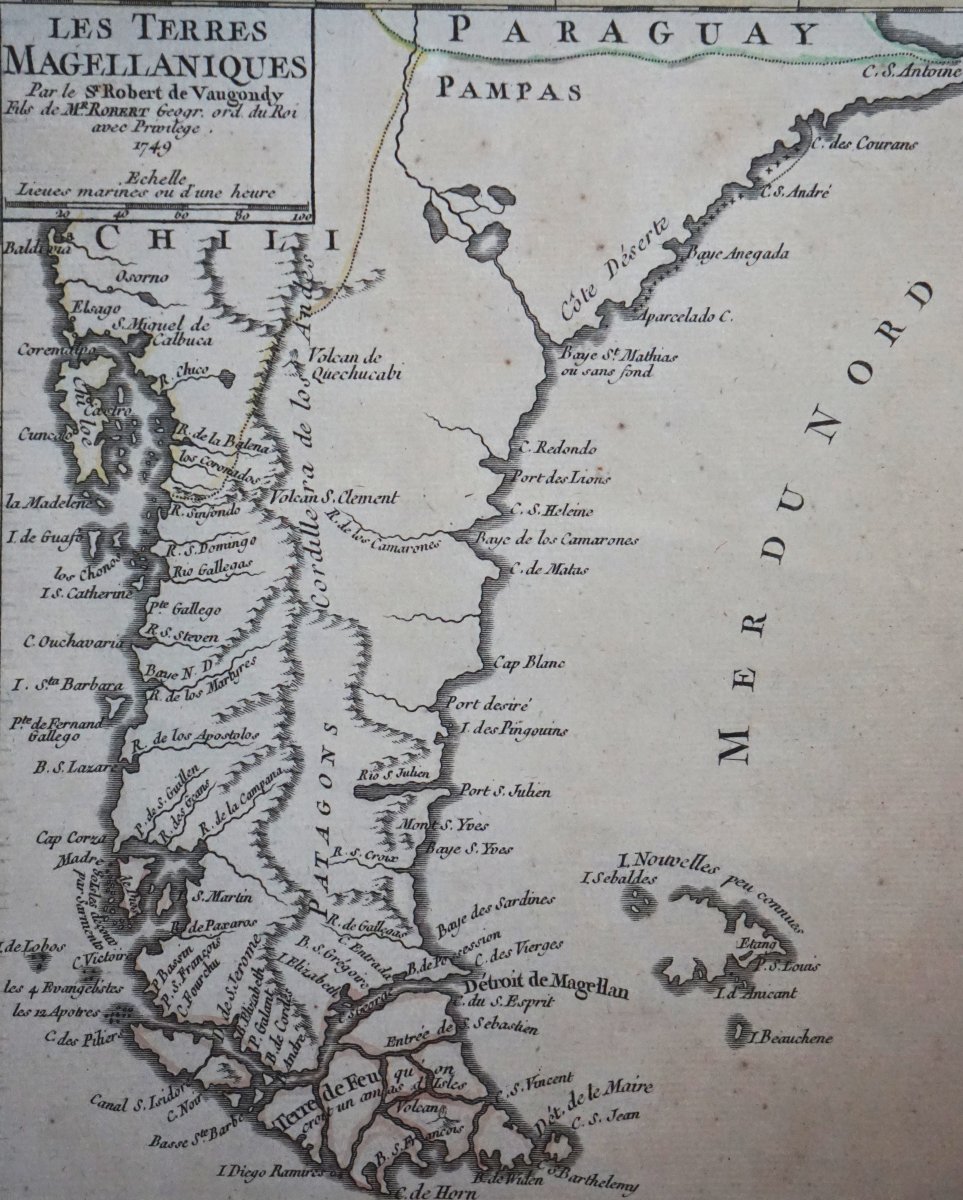
Rare copper engraving from the Louis XV era depicting Patagonia, Tierra del Fuego, and southern Chile.
Compiled in 1749 by Gilles Robert de Vaugondy, the King’s court geographer, this map reflects the state of geographical knowledge in the mid-18th century.
Notable details and place names:
Image size: 22 x 17
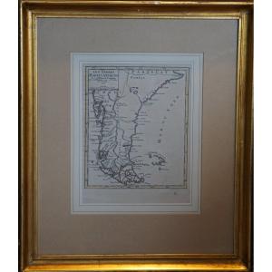
With frame: 42 x 36
Rare copper engraving from the Louis XV era depicting Patagonia, Tierra del Fuego, and southern Chile.
Compiled in 1749 by Gilles Robert de Vaugondy, the King’s court geographer, this map reflects the state of geographical knowledge in the mid-18th century.
Notable details and place names:
- Title cartouche: Rocaille style typical of the period, with the inscription “with Privilege. 1749”.
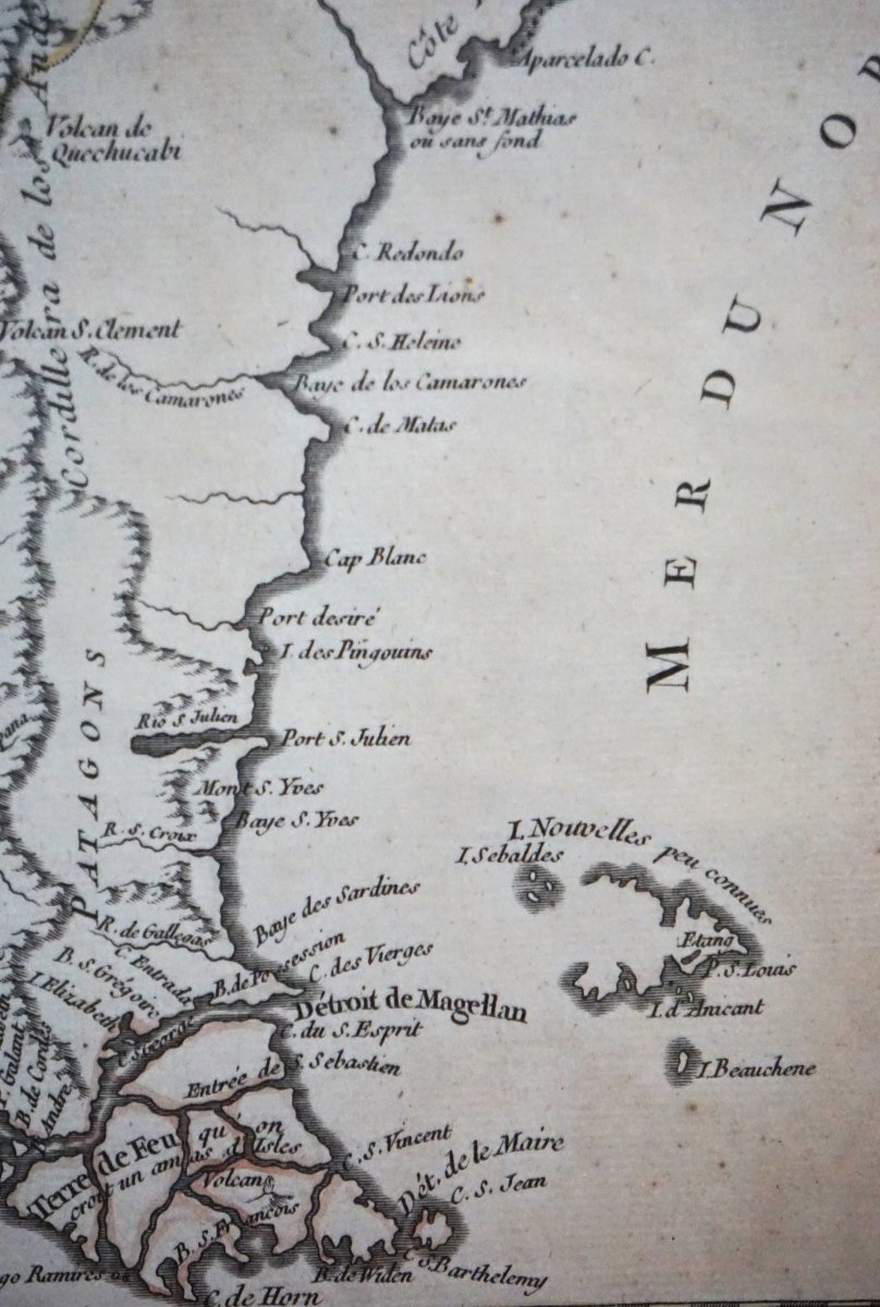
- Relief and coastlines: Precise depiction of the Andes Mountain Range, the volcanoes (Quechucabi, S. Clement), the Côte Déserte, and the Strait of Magellan.
- Falkland Islands: Labeled with the historical notation “I. Little-Known News or I. Sebaldes”, evidence of the explorations of the era.
- Period: 18th century (1749)
- Technique: Copper engraving (etching/burin)
- Condition: Good condition, fine, high-contrast print, original creases from handling (map from an atlas).
Image size: 22 x 17
With frame: 42 x 36
130 €
Period: 18th century
Style: Louis 15th - Transition
Condition: Good condition
Material: Paper
Reference (ID): 1823621
Availability: In stock
Print