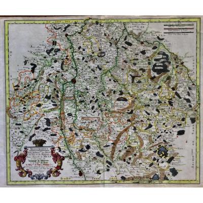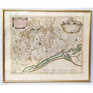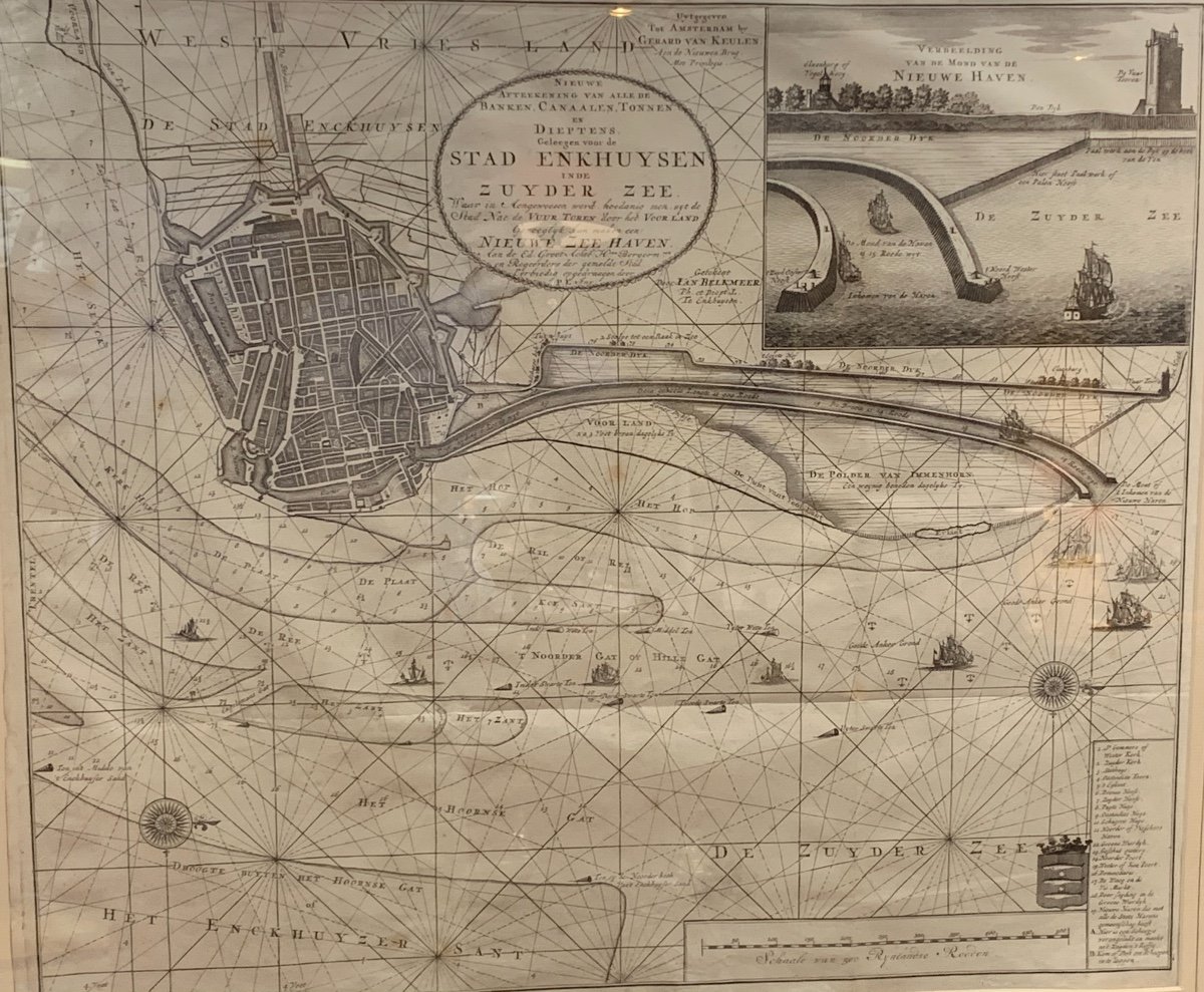
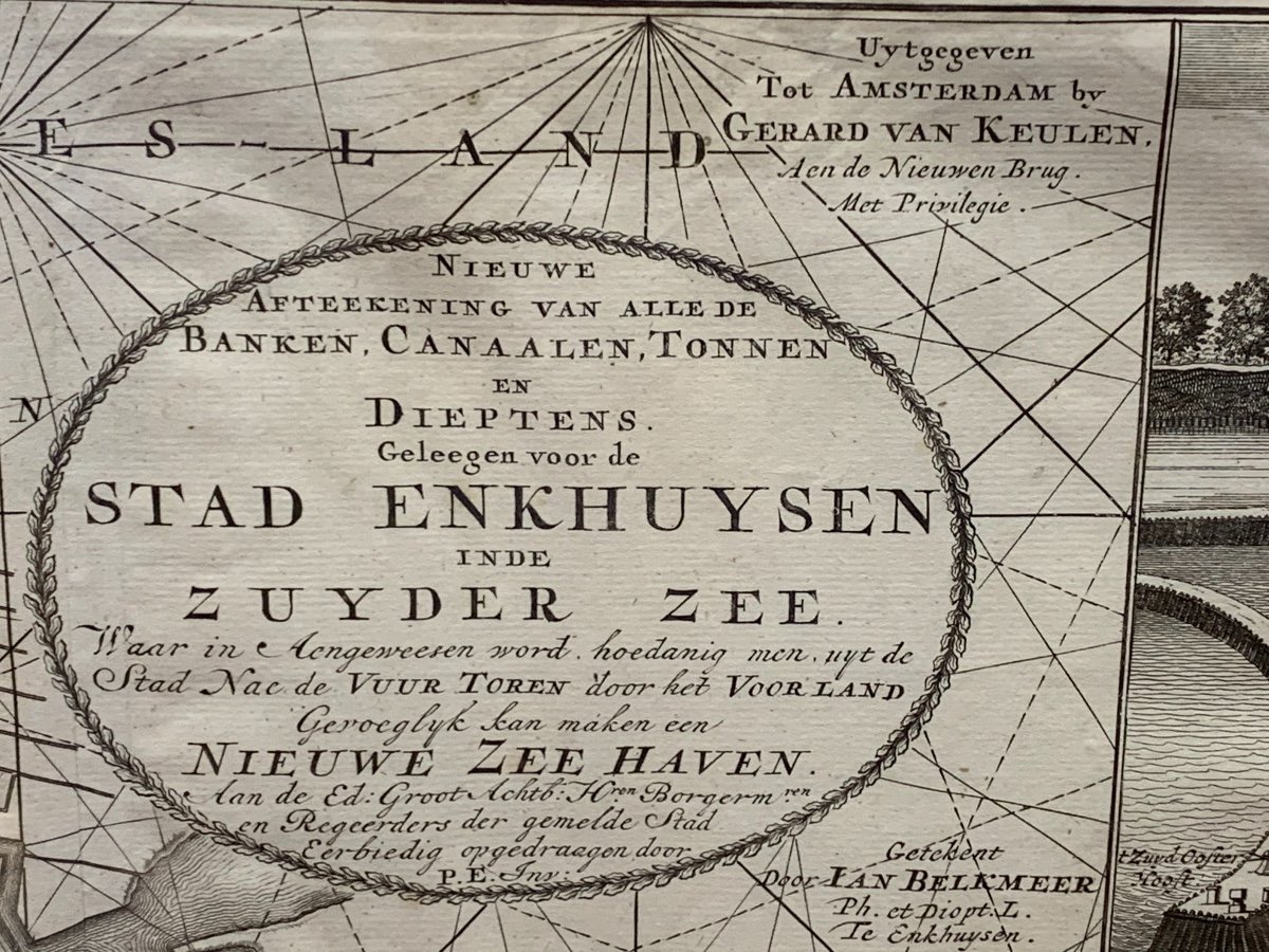

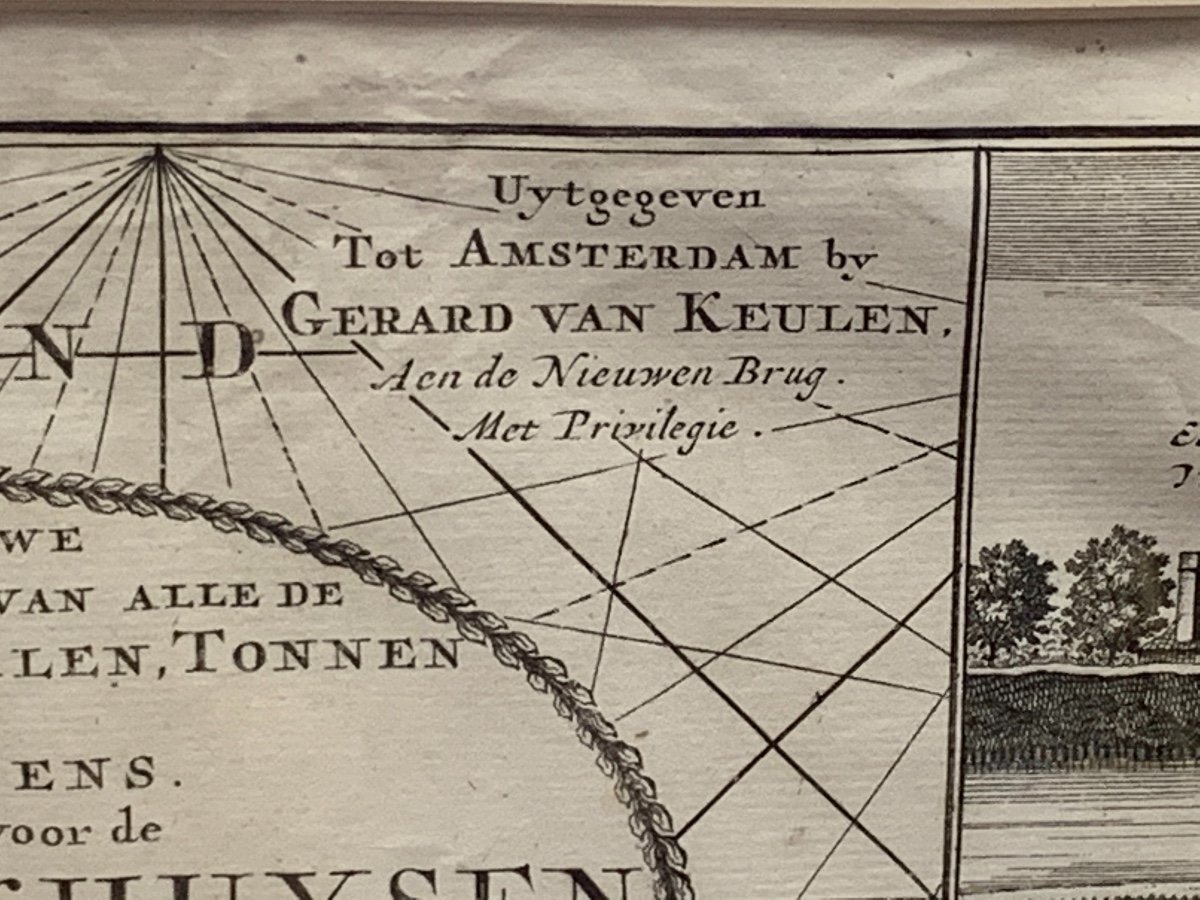


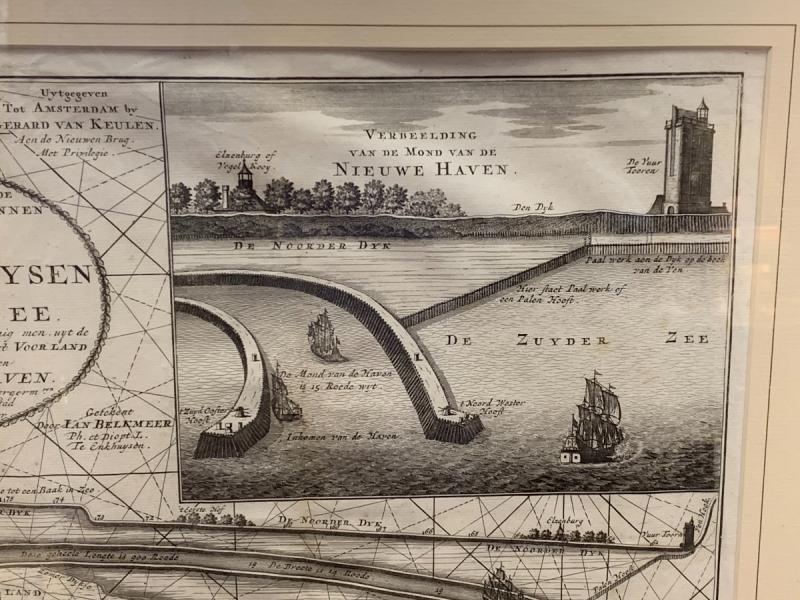
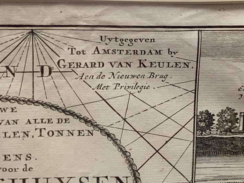


Large Dutch Map Of Nieuwe Zee Haven
Large map by Gerard van Keulen from 1720, very beautiful sheet, whole, not glued. Recent frame
440 €
Period: 18th century
Style: Louis 14th, Regency
Condition: Excellent condition
Material: Paper
Width: 83
Height: 73
Reference (ID): 809024
Availability: In stock
Print