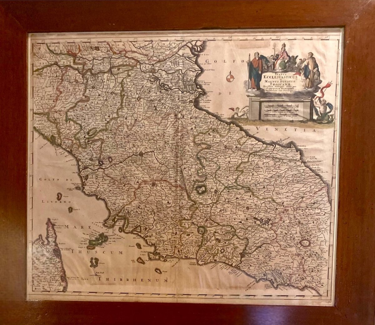
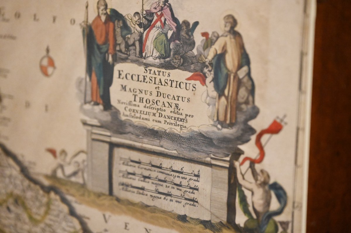
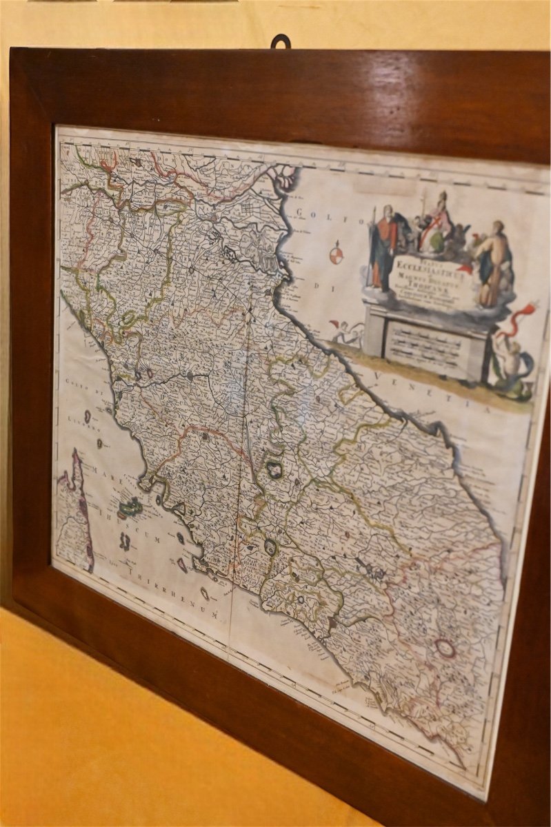


Rare Carte Géographique De l'état Pontifical Et Du Grand-duché De Toscane. Corneille II Dancker
Artist: Cornelius Ii Danckerts
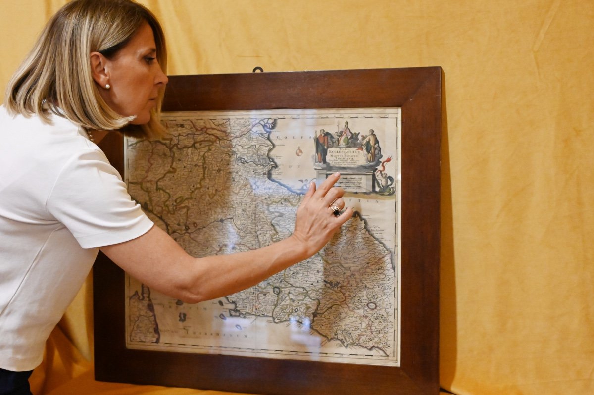
A rare color geographical map depicting the Papal State and the Grand Duchy of Tuscany, the work of Cornelius II Danckerts, dating back to around the end of the 17th century. It bears the Latin inscription Status Ecclesiasticus et magnus Ducatus Thoscana at the top. The Danckerts were a Dutch family of engravers and geographers who produced geographical material, many of their productions are kept at the Rotterdam Museum. Period: 17th century Dimension: within 75X67 frame. without frame 61X53.
750 €
Period: 17th century
Style: Other Style
Condition: Good condition
Material: Paper
Reference (ID): 1424599
Availability: In stock
Print