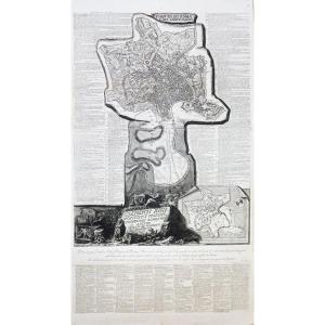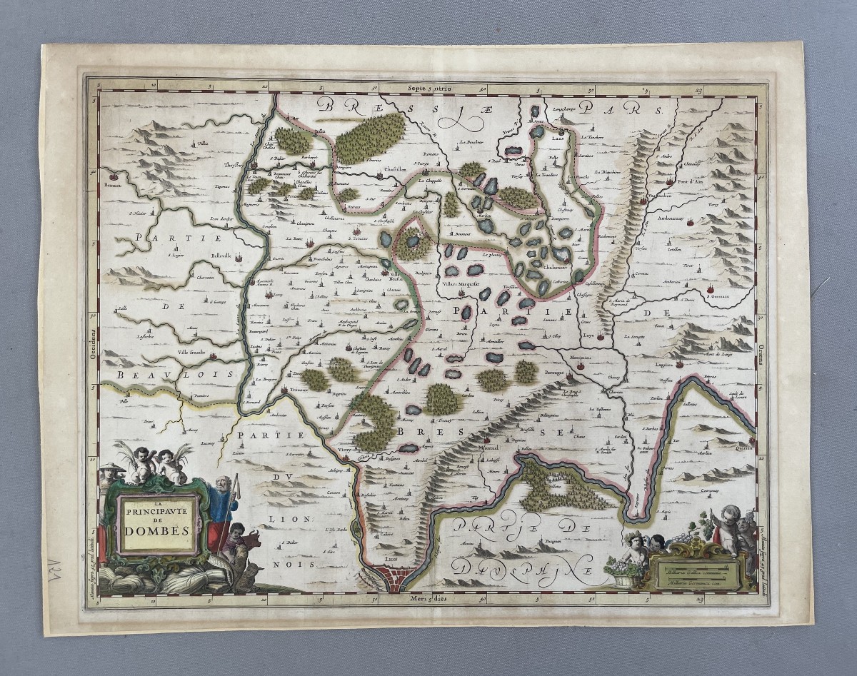
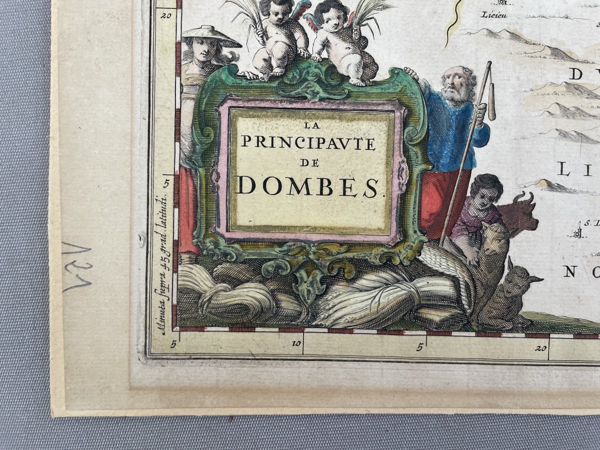
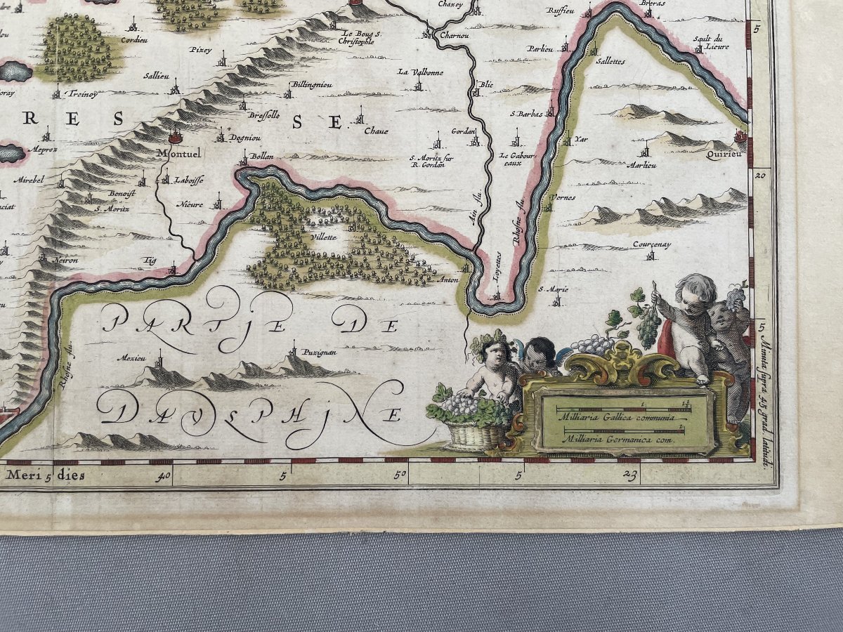
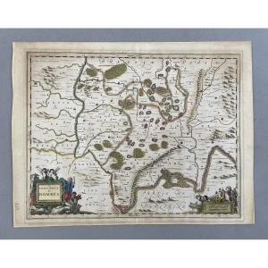


Old Map Of The Principality Of Dombes, 17th Century
Old map of the Principality of Dombes, 17th
Pasted on cardboard
Good condition
41 x 54 cm
Pasted on cardboard
Good condition
41 x 54 cm
Shipment by Colissimo with signature.
Careful packaging.
Unless otherwise indicated, the items published on Proantic are not exhibited at the Saint-Ouen flea market.
You do, however, have the possibility of collecting your purchases from our stand at the Marché Jules Vallès by making a request.
150 €
Period: 17th century
Style: Other Style
Condition: Good condition
Material: Paper
Width: 54 cm
Height: 41 cm
Reference (ID): 1750515
Availability: In stock
Print