Old Maps
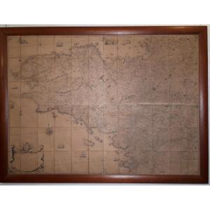
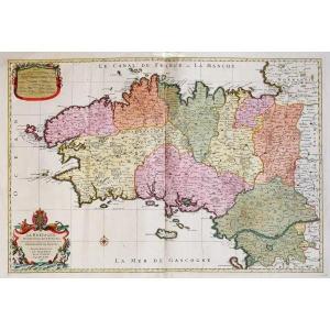
Geometric Map Of The Province Of Brittany - 1771 By Jbogée
18th century
1 250 €
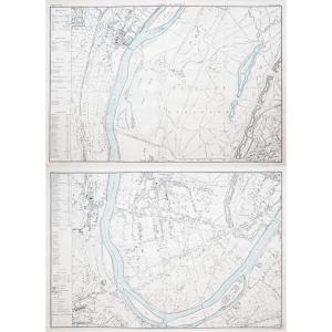


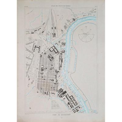
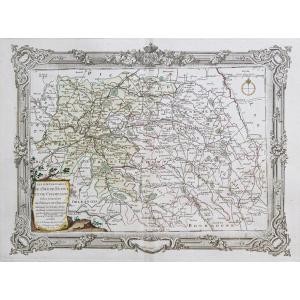
Plan Of The Village And Castle Of Grèzes Carcassonne 1845
19th century
350 €
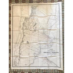
Map Of Argentina Nineteenth - Mapa De Los Ferro Carriles Republic[...]
19th century
390 €


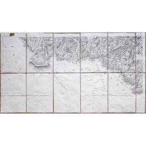
Carte De Cassini Des Alpes Du Sud Feuillet 152 Provence Sisteron [...]
19th century
80 €

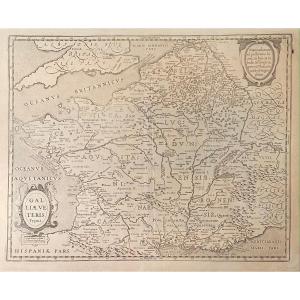
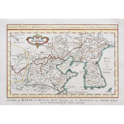
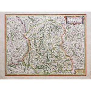
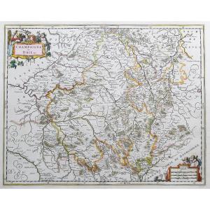
Old Map From The XVIIth Of Janssonius: Galliae Veteris Typus (rom[...]
17th century
280 €
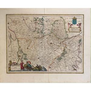
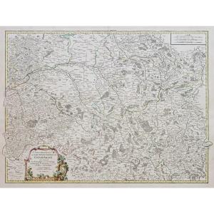
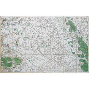
17th Century Map After Blaeu: Belsia Vulgo La Beausse (beauce)
17th century
120 €
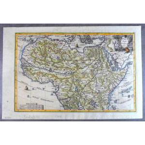
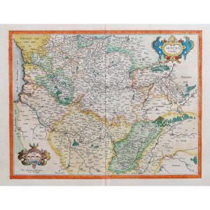
1699, Pretty Jesuit Map Of North Africa, Period Edition And Hand [...]
18th century
380 €
![]()


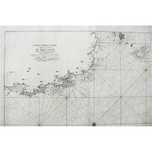
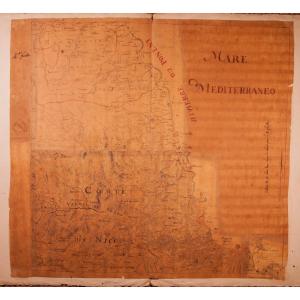
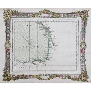
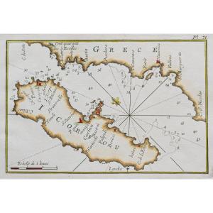
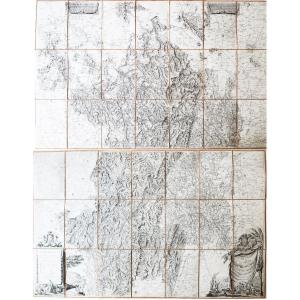
Old Geographical And Marine Map Of The Côtes De Bretagne Anse De [...]
18th century
850 €
![]()

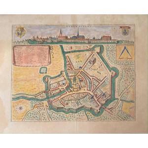
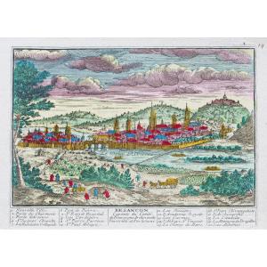
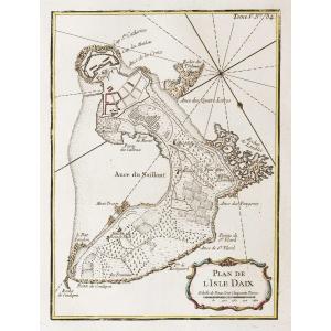
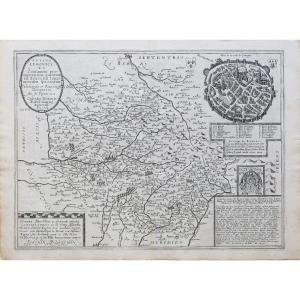
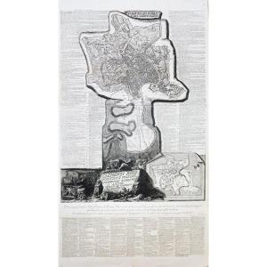
XVIIth Geographic Map Of Blaeu: Bird's Eye View Of The City Of Ar[...]
17th century
250 €