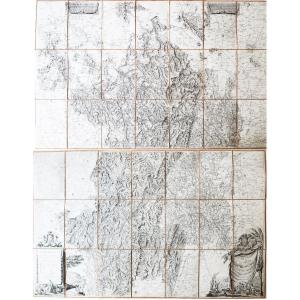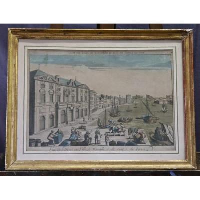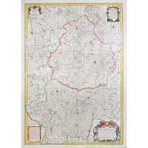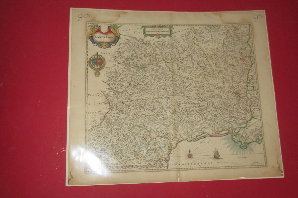

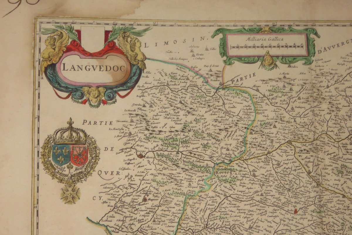

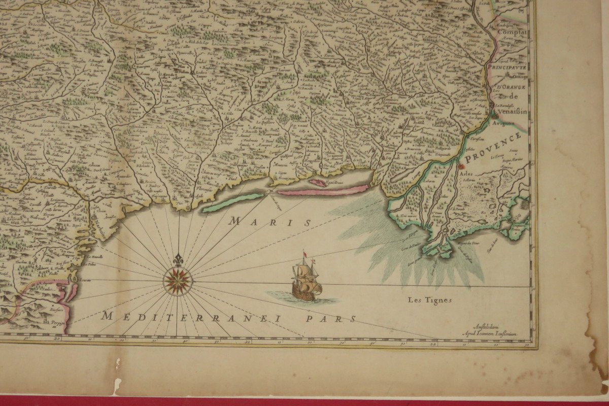
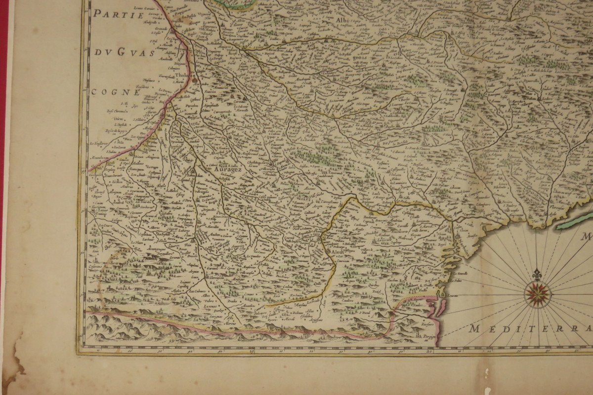


Map Of Languedoc, 17th Time.
Very nice geographical map representing Languedoc. 17th century. - Dimensions: 62 x 53 cms. Note: there is a protective plastic on the card.
220 €
Period: 17th century
Style: Other Style
Condition: Excellent condition
Material: Paper
Length: 62 cms
Height: 53 cms
Reference (ID): 844110
Availability: In stock
Print