Old Maps
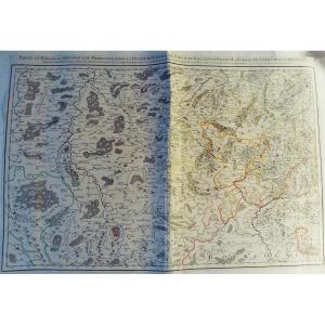
Grande Carta Corografica Degli Stati Di S.m. Re Di Sardegna Del 1[...]
18th century


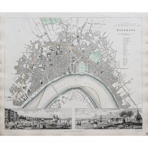
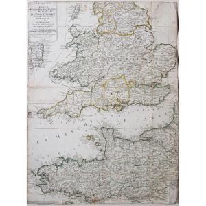
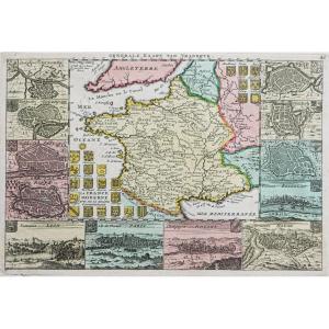
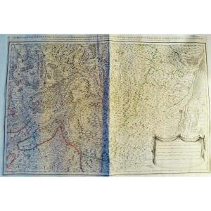
Old Lithographic Map Guyenne En Gironde Aquitaine Bordeaux Périgo[...]
20th century
![]()
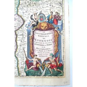
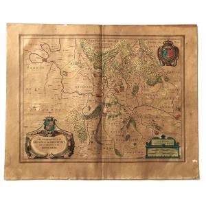
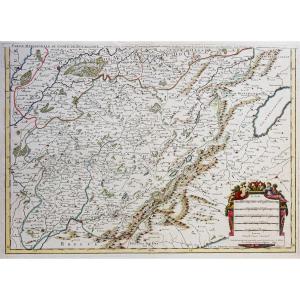
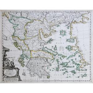
Le Gouvernement General Du Lyonnois, Belle Carte Aquarellée Et Dé[...]
18th century
![]()
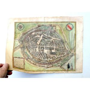
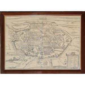
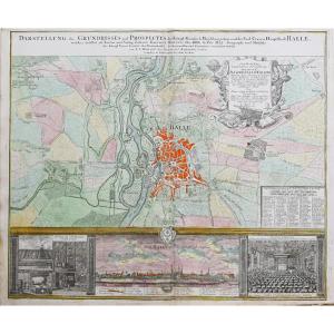
Map-view Of Strasbourg, 1584, Colored, Beautiful Period Engraving[...]
16th century
![]()
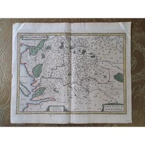
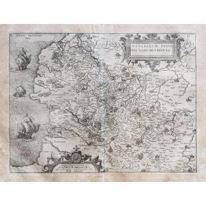
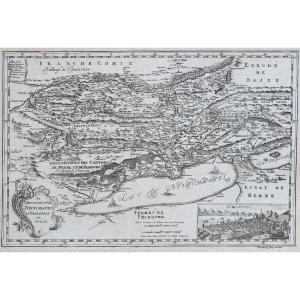
Map Of The Country Of Saintonge, Henricus Hondius, Early 17th Cen[...]
17th century
![]()

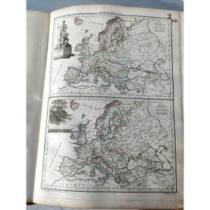
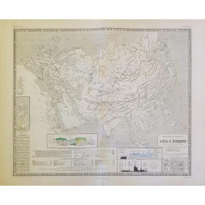
Supplementary Atlas Of The Precis Of Universal Geography, Malta B[...]
19th century
![]()


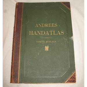
Handatlas De Andrees Collection Of Maps In German Language Atlas [...]
19th century

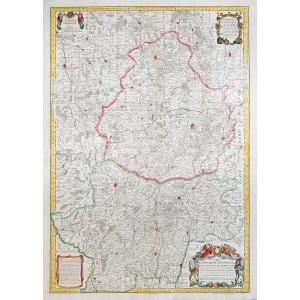
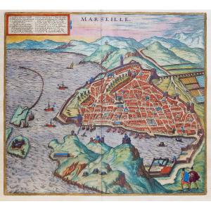
Rare Map Of Nivernois With Its Coat Of Arms (nivernais - Morvant [...]
17th century
![]()
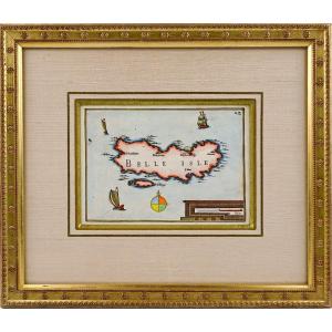
Rare Engraving Of Beautiful Island At Sea - Current Framing - Ep.[...]
17th century
![]()

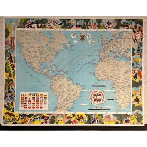
Compagnie Générale Transatlantique, Map Of The Company's Lines 19[...]
20th century
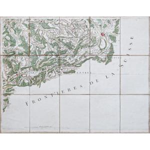
Map Of Sedan, Raucourt, Doncheri, From The 17th Century, Atlas Gu[...]
17th century
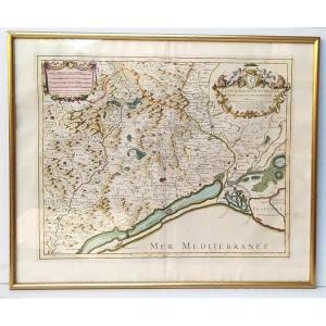
Beautiful Map Of The Archbishopric Of Montpellier, (rare), Jaillo[...]
18th century
![]()

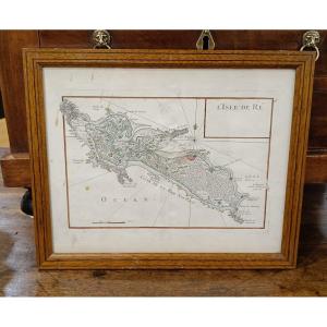
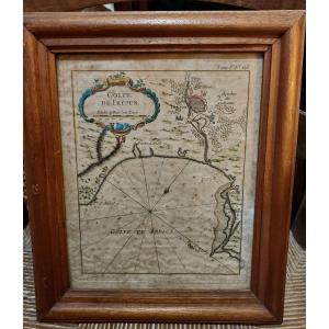
18th Century Watercolor Map Of The Ile De Ré By Le Rouge 1746
18th century

Rare Engraving Of The Ile De Re By Nicolas Tassin - Ep. 1st Half [...]
17th century
![]()


Rigobert Bonne (1727-1795) Map Of The Canary Islands With The Isl[...]
18th century


Country Of Poictou, Pictaviae Ducatus Descriptio Vulgo, Pretty Lo[...]
17th century
![]()
Jaillot - Part Of The Bailiwick Of Vosge Or Mirecourt, In The Duc[...]
18th century
![]()
Jaillot - Les Prévotez, Offices, Senehaussee And County Of The Ba[...]
18th century
![]()


Paris In 1630 – Map Of The City Of Paris According To Melchior Ta[...]
20th century

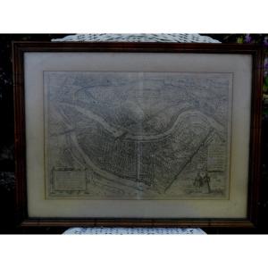
Engraving “plan De Lyon” In The 16th Century, After Braun And Hog[...]
20th century