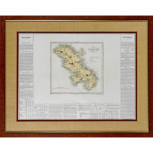
Map Of France, Drawing 1823
Drawn and handwritten map from 1823 of the Kingdom of France (under the reign of Charles X). Very beautiful work of cartography signed and dated, recent framing.
500 €
Period: 19th century
Style: Louis Philippe, Charles 10th
Condition: Excellent condition
Material: Paper
Width: 74
Height: 59
Reference (ID): 1278931
Availability: In stock
Print