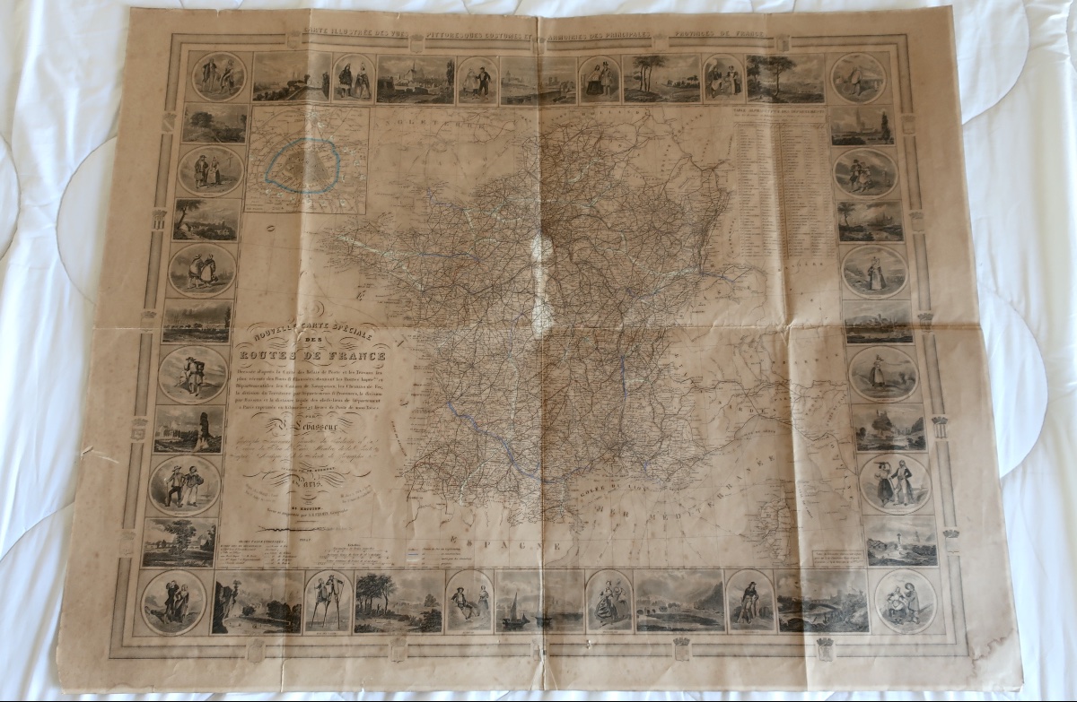
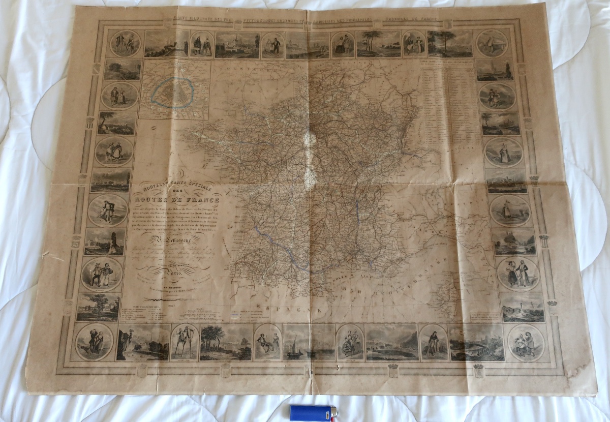
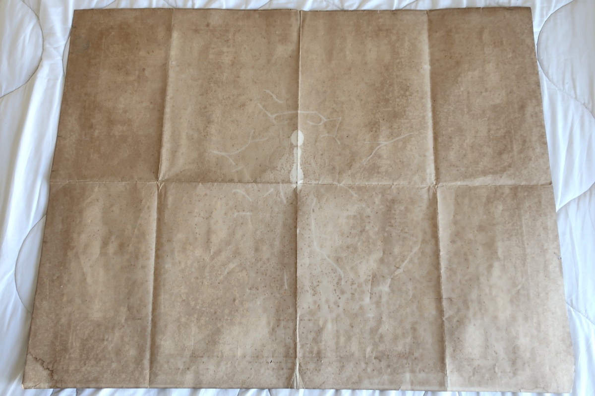
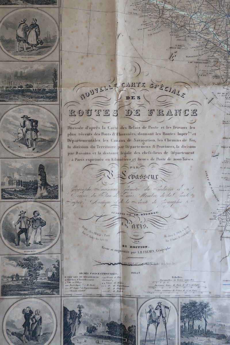
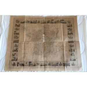


V. Levasseur: Nouvelle Carte Spéciale Des Routes De France, 1854, 96 X 75.6 Cm, Be
Artist: Victor Levasseur
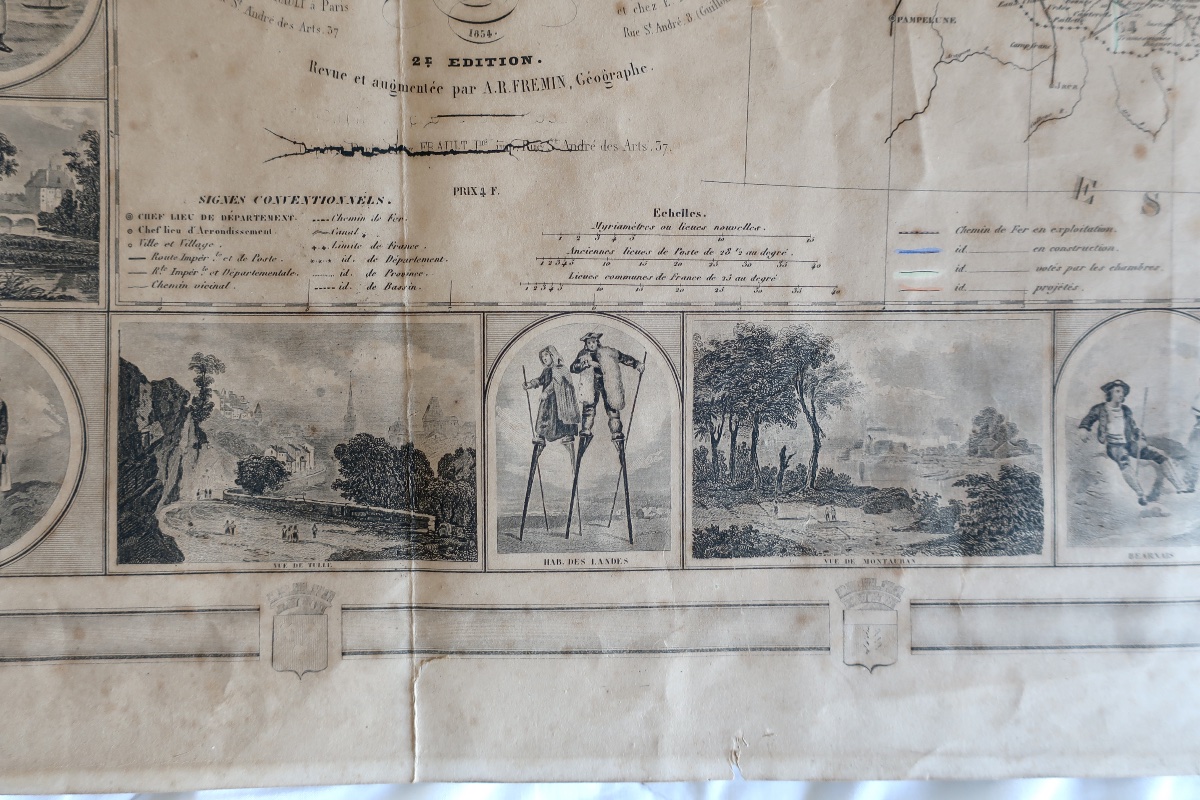
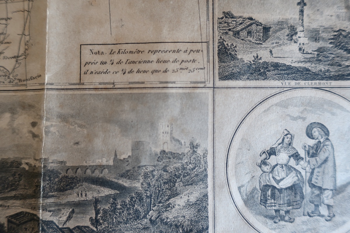
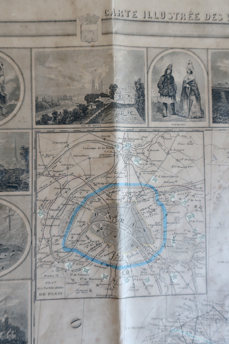
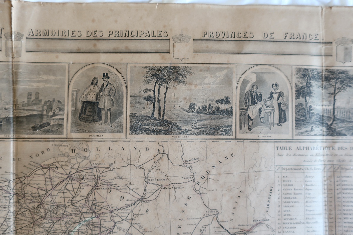
"Carte Illustrée des Vues Pittoresques, Costumes et Armoiries des Principales Provinces de France".
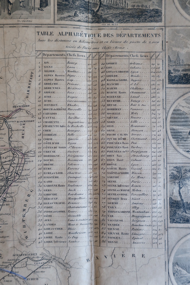
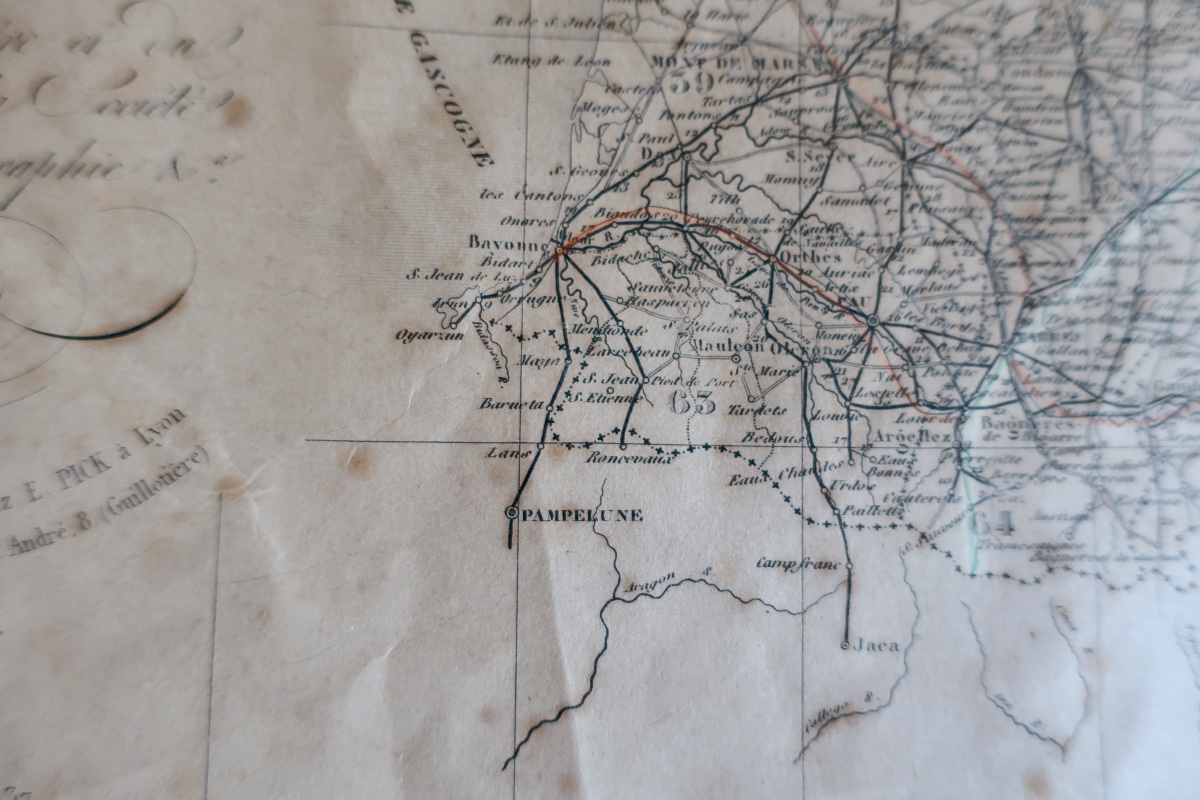
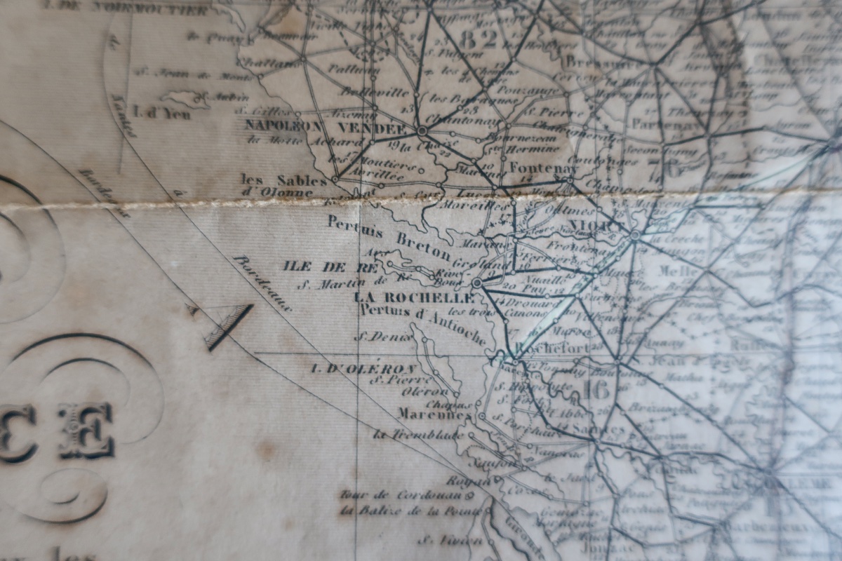
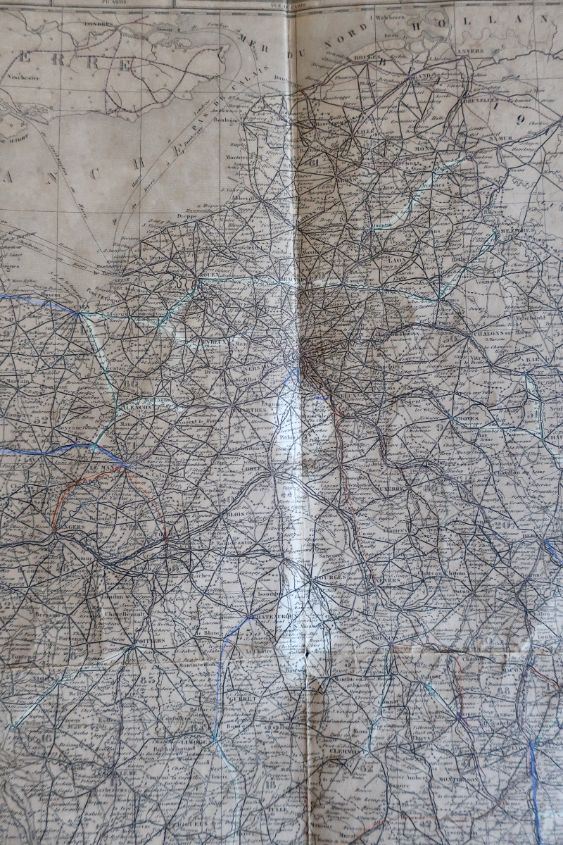
"Drawn up according to the Carte des Relais de Poste and the most Recent Works of the Ponts et Chaussées, giving the Imperial and Departmental Roads, the Navigation Canals, the Railways, the division of the Territory by Departments and Provinces, the division by Basins, and the legal distance of the Departmental Head Offices from Paris, expressed in Kilometers and 2000-Toise Lieues de Poste".
Par Victor Levasseur, "Géographe, Ingénieur-Géomètre du Cadastre et du Service du Plan de Paris, Membre de la Société Impériale Asiatique et de la Société de Géographie...".
Graved by Ch. Dyonnet, Paris, 1854, 2nd edition...
Rare map size 96 x 75.6 cm, unsheeted, and in fine used condition, despite folds. A stamp in blue ink on the back, but illegible...
Where we note that France had only 86 departments, that Biarritz is not yet notified, that Clermont existed without "Ferrand", that La Roche-sur-Yon, formerly "Bourbon Vendée" was renamed "Napoléon Vendée", etc...
A very interesting historical testimony...
Very careful shipping extra.
120 €
Period: 19th century
Style: Louis Philippe, Charles 10th
Condition: Condition of use
Material: Paper
Reference (ID): 1770998
Availability: In stock
Print