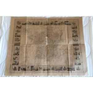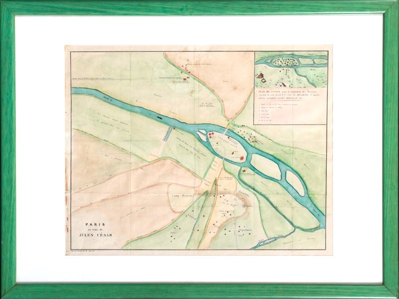
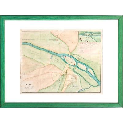
Map Paris In The Time Of Julius Caesar / City Of Lutetia - Beginning Of The 19th Century
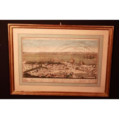
Map of Paris at the time of Julius Caesar.
Early 19th century colored print, c. 1825.
Anachronistic cartography of the city of Lutetia and its surroundings around 55 BC.
Indications:
"Plan of Lutetia before the domination of the Romans, about 55 B.C. drawn by DELAMARE, after CAESAR, STRABON, JULIEN MARCELLIN etc."
Lemercie's printing office, rue de Seine 55.
Dimensions:
At sight: 40.5 x 51.5 cm.
Framing: 58 x 77 cm.
Some light dirts.
400 €
Period: 19th century
Style: Louis Philippe, Charles 10th
Condition: Bon état - voir photo
Material: Paper
Width: 77
Height: 58
Reference (ID): 802906
Availability: In stock
Print