


Cruchley’s New Plan Of London – 1840 Edition
Original folding map mounted on linen
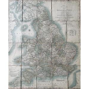
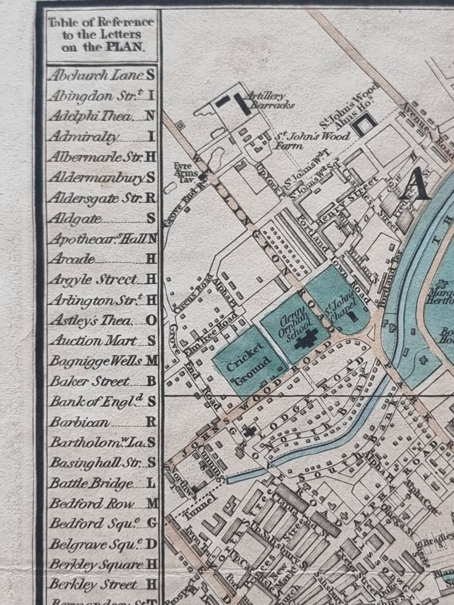
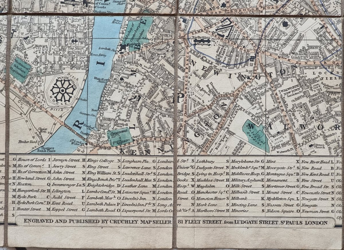
Rare and highly detailed folding map of London published by George Frederick Cruchley, titled Cruchley’s New Plan of London, in the edition “Improved to 1st January 1840”, as noted in the key. Engraved and color-printed, it offers an accurate snapshot of London’s mid-19th century urban structure, including neighborhoods, major roads, landmarks, and early railways.
The map is mounted on linen and divided into foldable sections, as customary for portable maps of the period.
Condition: excellent overall; very well preserved with only minimal surface creases, no tears or losses.
Unfolded size: 63.5 × 44 cm.Publisher: G.F. Cruchley, 81 Fleet Street, London.Date: 1840.
Please feel free to contact us for any further information. Worldwide shipping available.
600 €
Period: 19th century
Style: Louis Philippe, Charles 10th
Condition: En l'etat
Material: Paper
Width: 63.5
Height: 44
Reference (ID): 1583811
Availability: In stock
Print