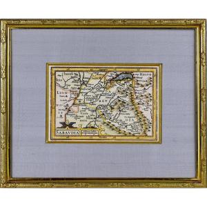
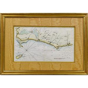
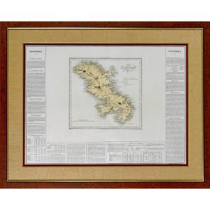
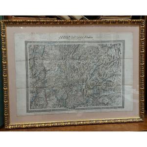
Engraving - Haut-rhin (68) - Small Departmental Map - Early 19th Century
Pretty little original polychrome engraving, representing the department of HAUT-RHIN with a small comment on the number of inhabitants, surface area… Hand-watercoloured. Dimension(s): Frame: Height. 19.7 cm Width. 24.7 cm, Condition: INTACT, Period: EARLY 19th CENTURY (Circa 1830), Frame: CURRENT - Brown bevel - Cream-coloured wild silk mat - Wooden rod, in aged water gilding. PAYMENT and TRANSPORT PAYMENTS ACCEPTED via PAYPAL / TRANSFER / CB online or by CHECK. PACKAGES WILL BE POSTED WITHIN 4 DAYS. GROUPED SHIPPING POSSIBLE IN THE EVENT OF PURCHASE OF MULTIPLE ITEMS.
165 €
Period: 19th century
Style: Louis Philippe, Charles 10th
Condition: Perfect condition
Material: Paper
Length: 19.7 cm
Height: 24.7
Reference (ID): 1482887
Availability: In stock
Print