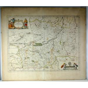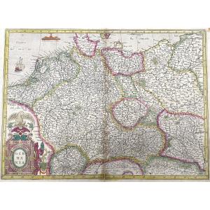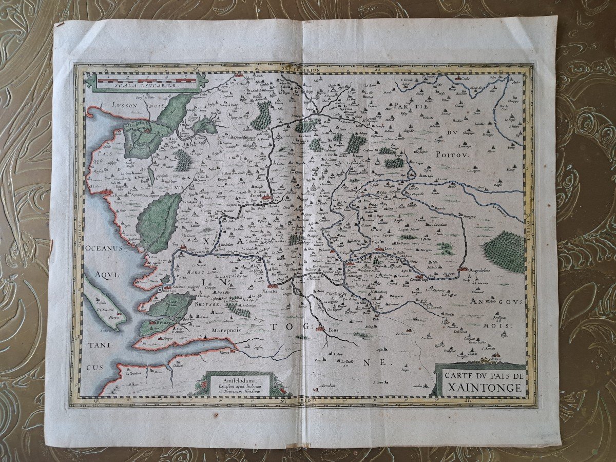
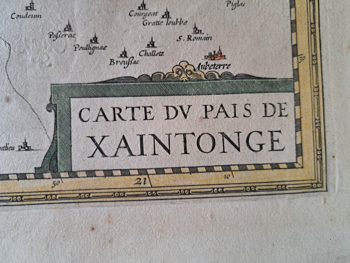

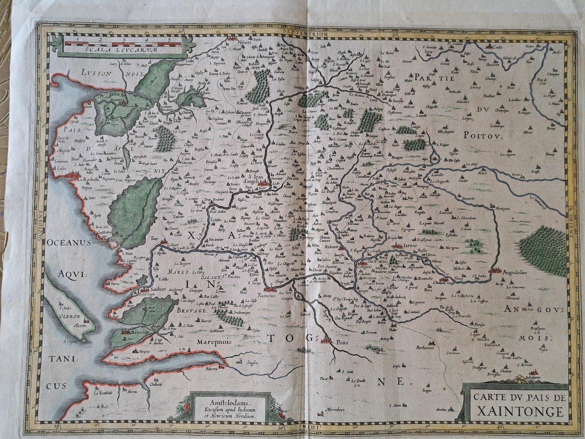
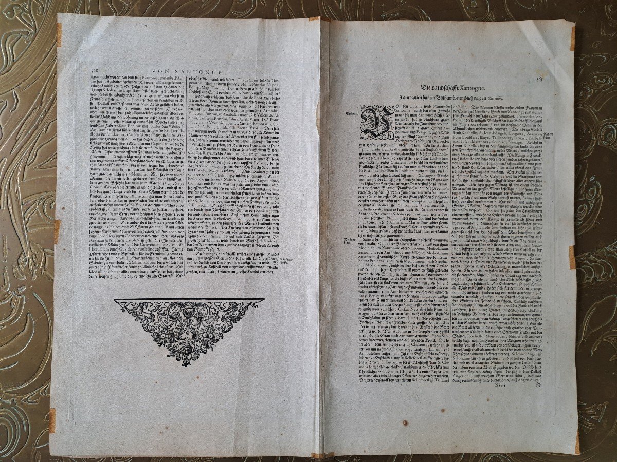
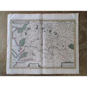


Map Of The Country Of Saintonge, Henricus Hondius, Early 17th Century.
Artist: Judocum Et Henricum Hondius . Vers 1633 .
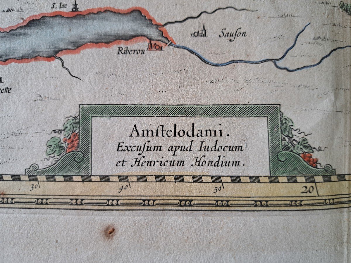
Very beautiful map of the Pais de Xaintonge, watercolor map, in good condition, presence of tape on the border, Map of the Pais de Xaintonge, Amstelodami Excusum apud Iudocum et Henricum Hondium. Around 1633, very good quality, freshness of colors, Dimensions: Height: 46.5 cm, Width: 55 cm.
140 €
Period: 17th century
Style: Renaissance, Louis 13th
Condition: Good condition
Material: Paper
Width: 55 cm
Height: 46.5 cm
Reference (ID): 1294822
Availability: In stock
Print