THIS OBJECT WAS SOLD
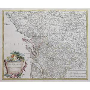
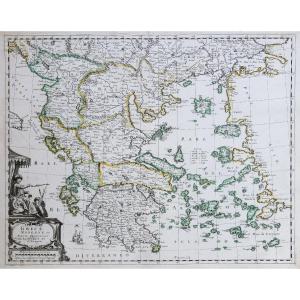
Duchy Of Auvergne Circa 1663, Beautiful Map: By Blaeu, Period Colors.


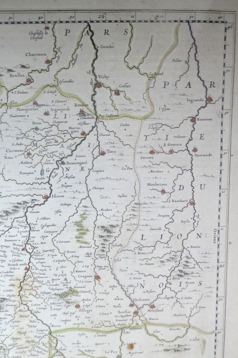


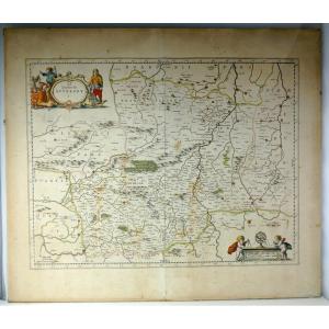


beautiful map, double page folded on middle, which was part of the great atlas of Blaeu, Wikipedia: The Atlas Maior, Atlas Blaeu or Theatrum Orbis Terrarum, is a collection of geographical maps, engravings and drawings published in 1662 and in 1665 by the Amsterdam publisher Joan Blaeu.
This is French edition, drawn by Janson in 1630, period sheet, period colors….
Edges stretched on strong cardboard on edge, and as a result the central fold has split, barely visible if under glass.
Good condition, slightly yellowed, some foxing. Full margin: 58cm x 50cm. Bowl: 50cm x 38cm.
Beautiful map from the 17th century.
Source: Bibliothèque nationale de France, GED-3554 Title: The Duchy of Auvergne Publisher: apud L. Janssonium (Amstelodami)
This item is for immediate purchase, payable by credit card or paypal.
- eclectic – antique dealers since 1970, Siret: FR 24.430113233. Invoice and Certificate are attached to each of our shipments.
Explore similar pieces and discover your ideal find:
Old Maps