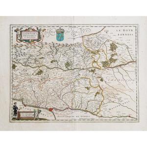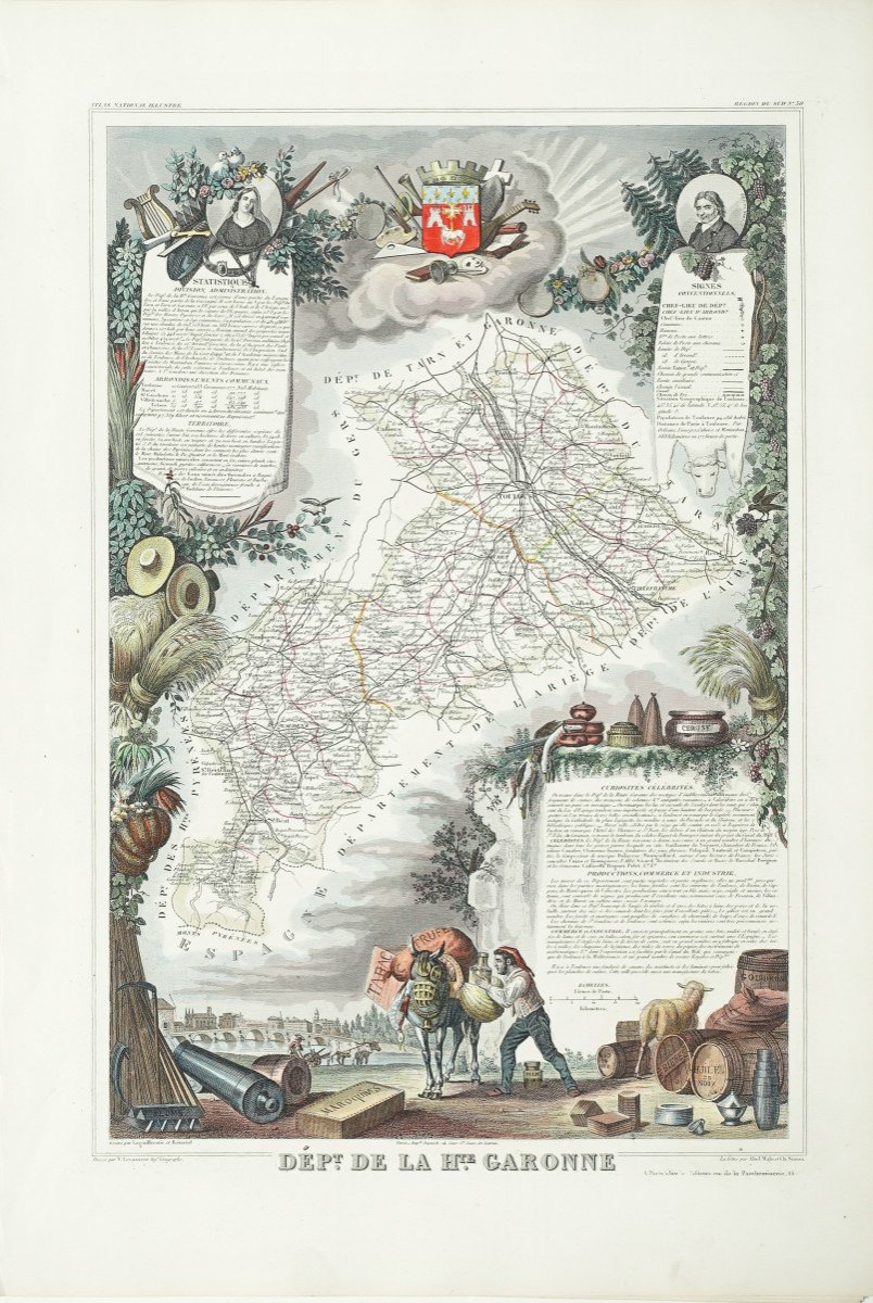
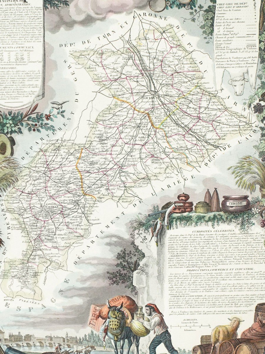

Geographic Map Of Haute Garonne
Original card engraved in 1860. Beautiful watercolor colors. Very good state. Sheet size: 53 x 36.5 cm. Famous mid-19th century edition published on rue Saint Jacques in Paris, illustrated with comments on administrative divisions, curiosities, production, commerce and celebrities. You can consult all the maps, books and engravings available in your region by clicking on the link of our website specializing in old geographic archives: https://cartes-livres-anciens.com/categorie-produit/cartes-geographique -anciennes-original-antique-maps / france / midi-pyrenees / Secure payment by credit card on our website by clicking on the link below: https://cartes-livres-anciens.com/produit/cartes-geographique -anciennes-original-antique-maps / france / midi-pyrenees / carte-geographique-ancien-du-departement-de-la-haute-garonne-2 / All our maps and engravings are accompanied by a certificate of authenticity.
115 €
Period: 19th century
Style: Other Style
Condition: Excellent condition
Material: Paper
Reference (ID): 869568
Availability: In stock
Print