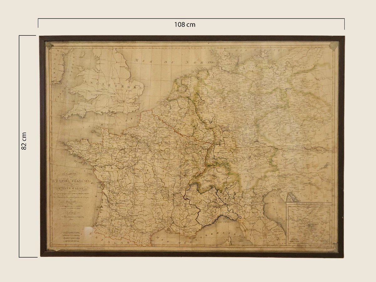


Large Map "l'empire Française Et De l'Allemagne" 1810
Great map
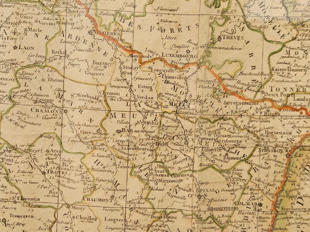
"L'EMPIRE FRANÇAISE et de L'ALLEMAGNE"
dated 1810
It is in excellent condition, with visible signs of aging.
DIMENSIONS Map: Width 102 cm - Height 76 cm
DIMENSIONS Frame: Width 108 cm - Height 82 cm
- CONTACTS -
FOR ANY ADDITIONAL INFORMATION DO NOT HESITATE TO CONTACT US!
EMAIL furlanantichita@gmail.com
300 €
Period: 19th century
Style: Other Style
Condition: Excellent condition
Material: Paper
Reference (ID): 1401280
Availability: In stock
Print