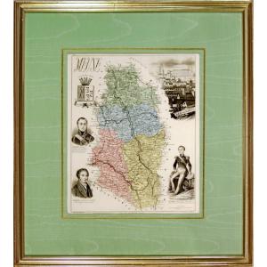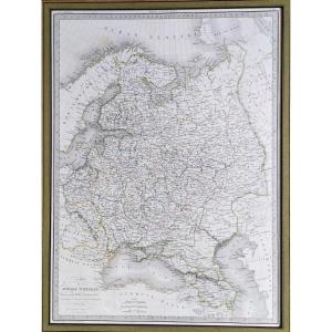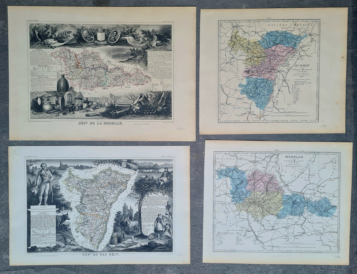
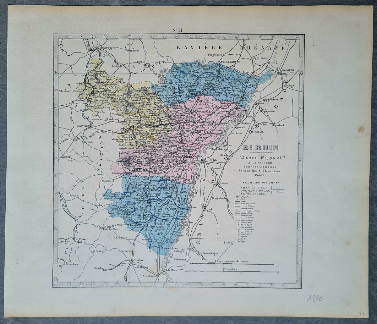
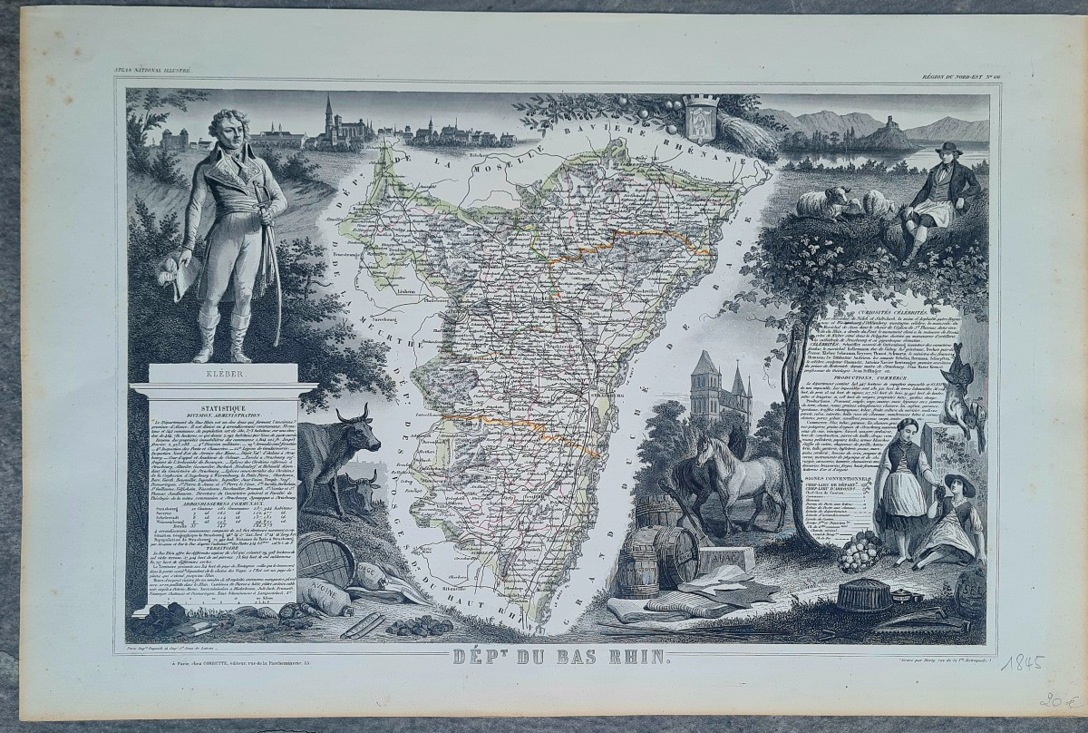


Maps Of Alsace And Lorraine
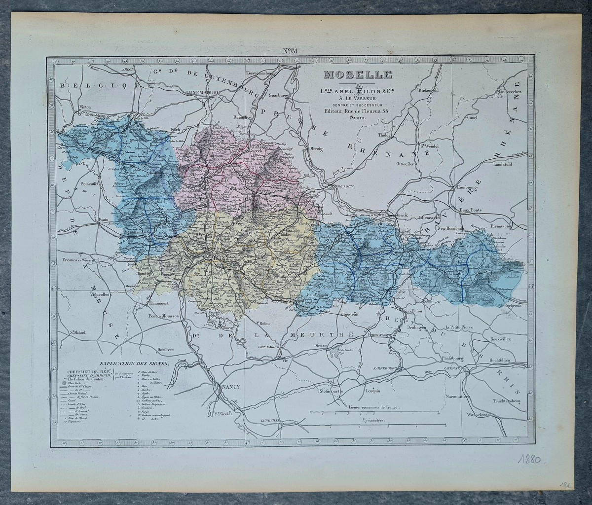
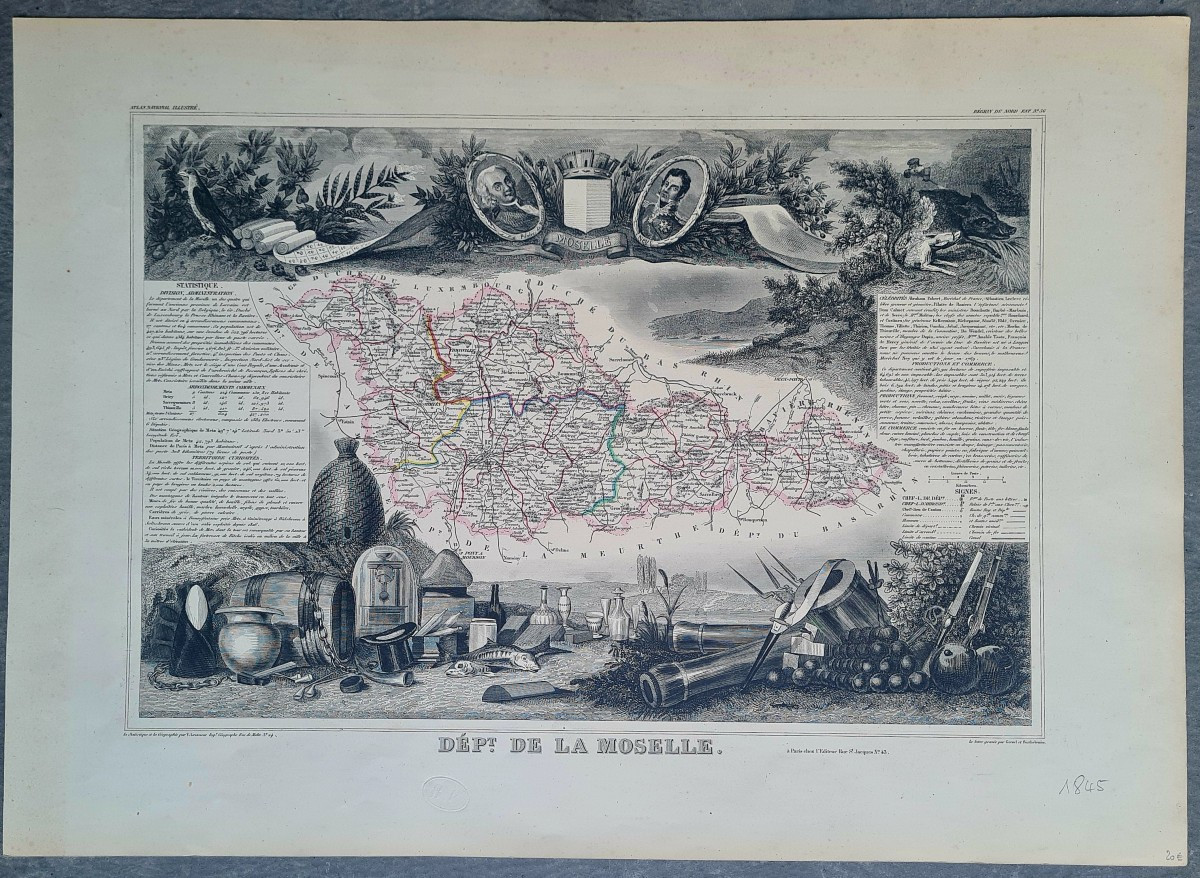
a set of four maps two maps of the Haut Rhin and two maps of Moselle a map of the Haut-Rhin department engraved by Barty and published in Paris by Combette in 1845 measuring 35x53 cm another map of the Haut-Rhin published in 1880 and measuring 36x42.5 cm a map of the Moselle from 1845 measuring 39x54.5 cm and a map of the Moselle from 1880 measuring 36.2x43 cm The set is sold as a set and in sheets.
105 €
Period: 19th century
Style: Napoleon 3rd
Condition: Good condition
Width: 50
Height: 35
Reference (ID): 1630771
Availability: In stock
Print