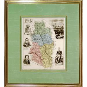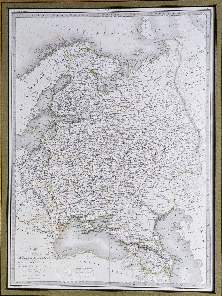
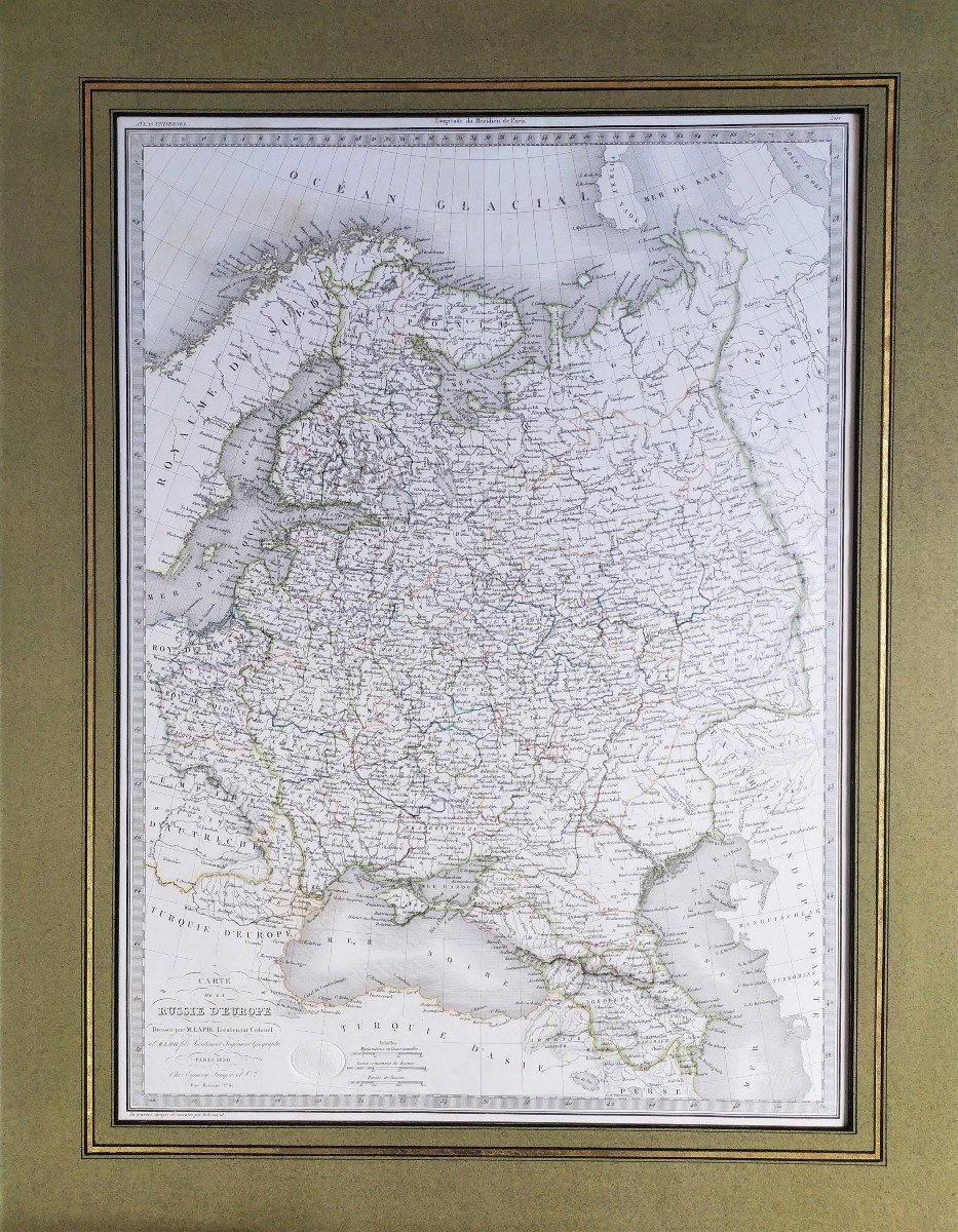
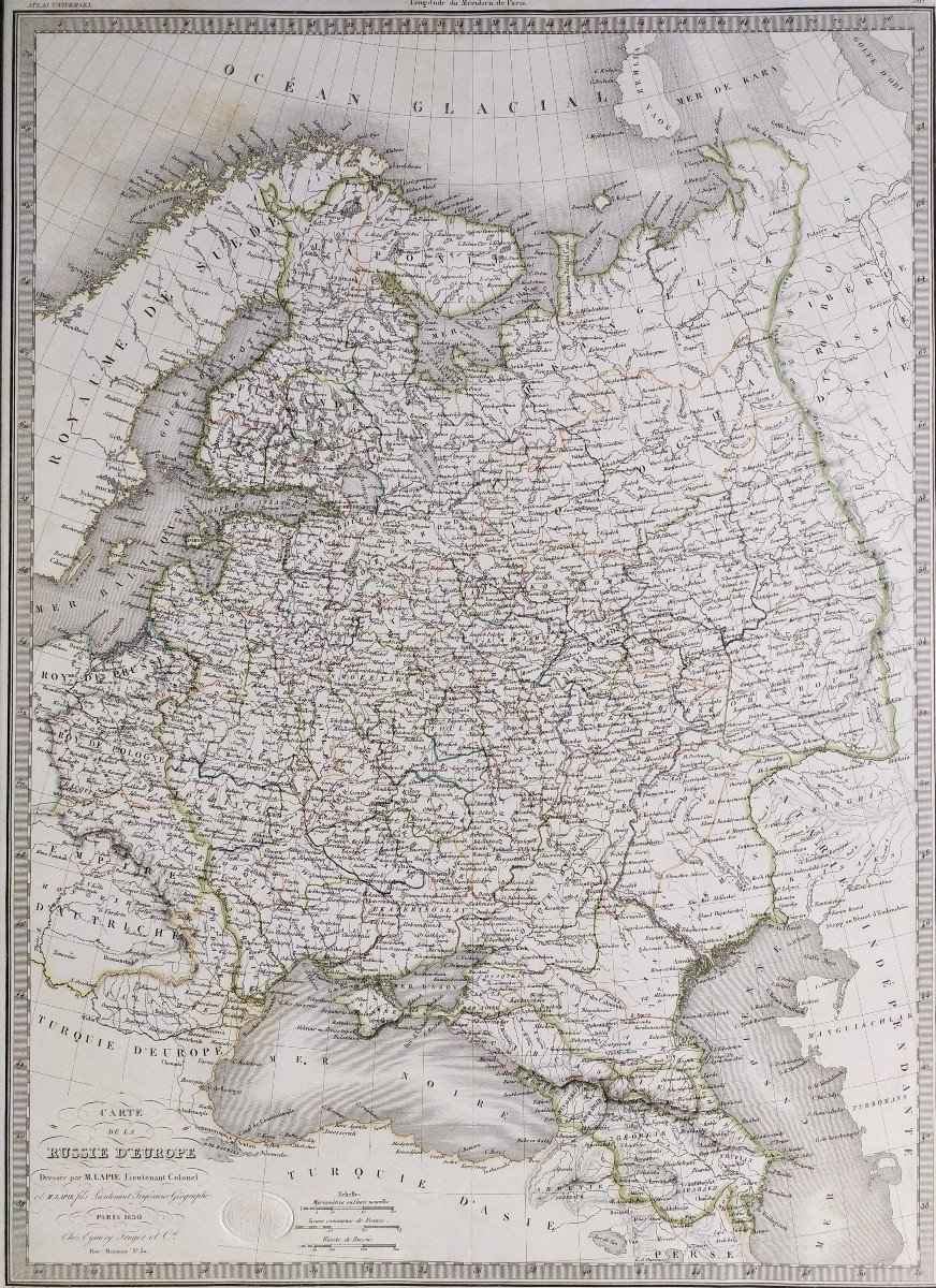
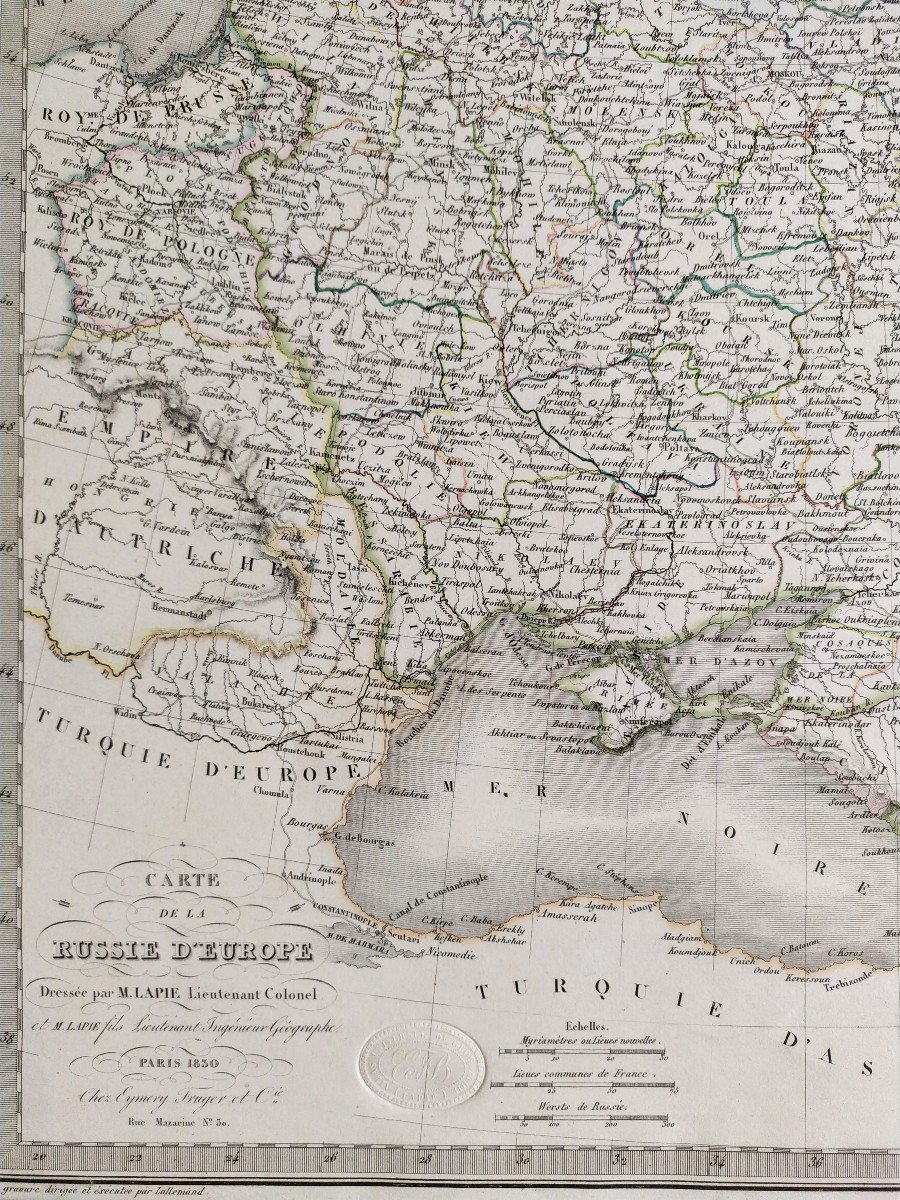
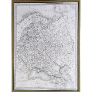


Geographical Map Russia Of Europe By Lapie & Lallemand Dated 1830
Geographical map. Drawn up by M. Lapie, Lieutenant Colonel
Engraved by Lallemand in Eymery Fruger & Cie, 1830. (Universal Atlas of Geography,Lapie).
61.3 x 46 cm in basin 24 x 18 inches
66.9 x 48 cm sheet
68.4 x 53.4 cm with passe-partout
Good condition.
All our old prints are offered in good condition. When necessary, they have been restored by a professional restorer.
450 €
Period: 19th century
Style: Napoleon 3rd
Condition: Good condition
Material: Paper
Width: 53,4 cm
Height: 68,4 cm avec passe-partout
Reference (ID): 1104789
Availability: In stock
Print