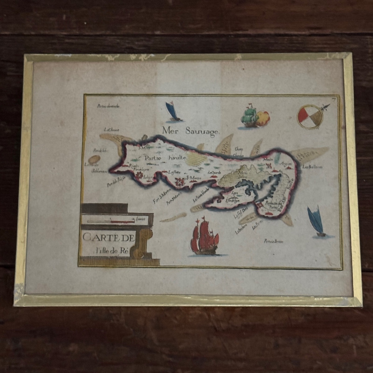
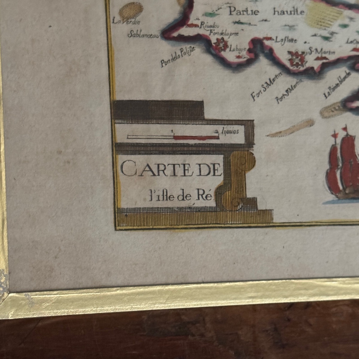
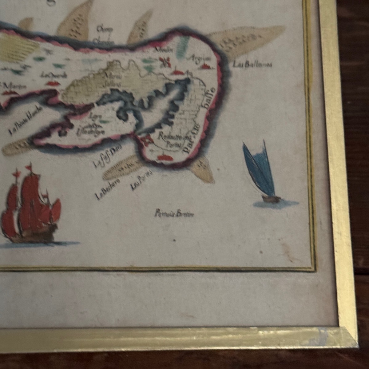
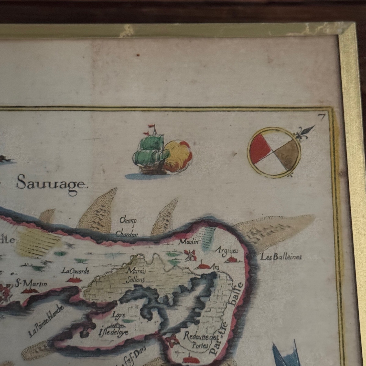
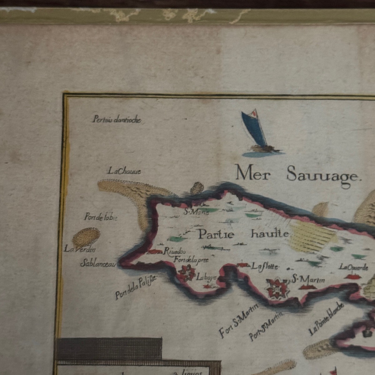


18th Century Color Map Of The Ile De Ré
This map is old, it was framed in the 60s with protective glass. We note that the map is stained in places, traces of wear on the small golden element which fixes the tile. Our numerous photos allow you to appreciate the quality of the work. For the condition, please detail the photos. Do not hesitate to zoom. The photos are an integral part of the description. Dimensions: FrameHeight: 15 cmWidth: 19 cmViewHeight: 10 cmWidth: 15 cmL9216
300 €
Period: 18th century
Style: Other Style
Condition: Condition of use
Width: 19 cm
Height: 15 cm
Reference (ID): 1589511
Availability: In stock
Print