Old Maps
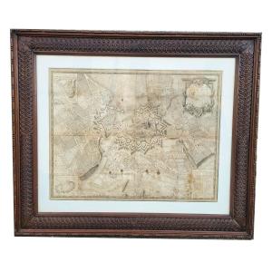
Map Of The City Of Geneva, 90x77cm, Framed Engraving, Late 18th C[...]
18th century
900 €
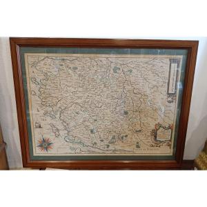
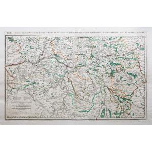
Framed Map Of Poitou, Saintonge, Angoulmois And Aulnix From The 1[...]
17th century
650 €


The World Known To The Ancients In 1763 By Jean-baptiste d'Anvill[...]
18th century
120 €


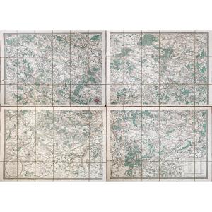
Map Of Algiers And Its Surrounding Areas Drawn Up For The 1830 Mi[...]
19th century
250 €
![]()


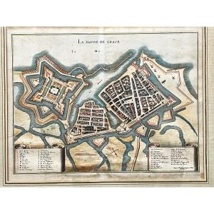
La Havre De Grace (le Hâvre) Print By Jacques Gomboust Around 165[...]
17th century
120 €
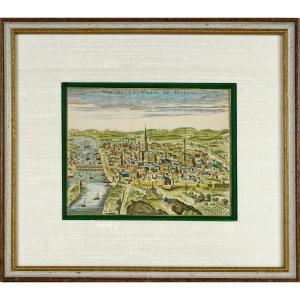
Old Engraving - View Of The City Of Rouen - Ep. Early 18th Centur[...]
18th century
330 €
![]()

Antique Color Engraving Of The Maumusson Pertuis And The Seudre R[...]
19th century
200 €


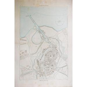


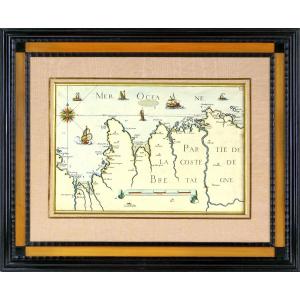
Nautical Chart Of Brest Harbor, 18th Century – Brittany - Finistè[...]
18th century
95 €

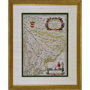
Mercator Historical Map: Vdrone Irlandiæ In Catherlagh Baronia, C[...]
17th century
220 €
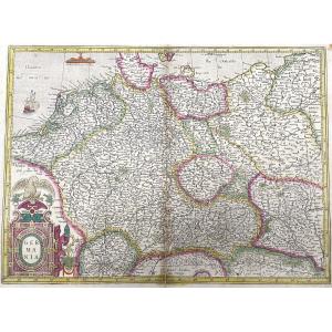
Old Antique Map Of Germania By Gerard Mercator - Germany In 1623
17th century
250 €


Geographical Map Of Bohemia Engraved By G Mercator Between 1613 A[...]
17th century
270 €


Engraving - Sea Chart From Cancale To The Poterieu Islands - The [...]
17th century
750 €
![]()

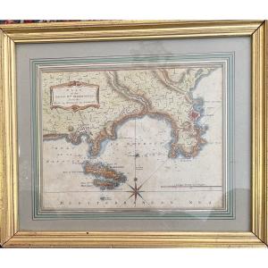
Engraving - Map Of The Principality Of Bearn (south West) By J. B[...]
17th century
580 €
![]()