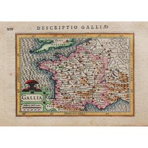
Old Maps
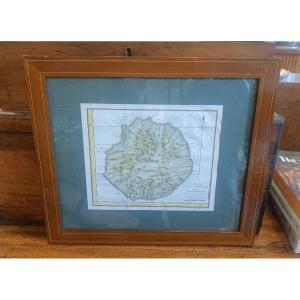
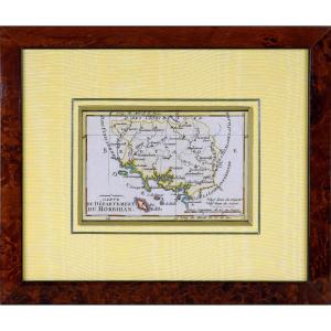
18th Century Framed Map Of Reunion Island (bourbon) By Bellin
18th century

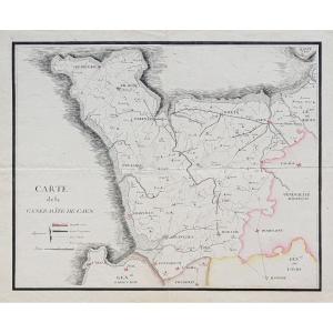
Engraving Of Morbihan (56) - Departmental Map - Revolutionary Ep.[...]
18th century
![]()
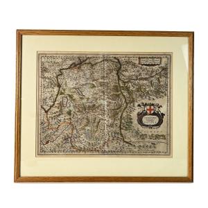
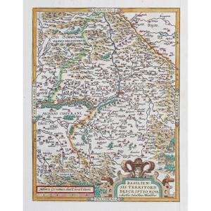
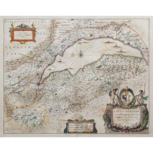
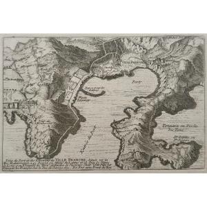
17th Century Map, Duchy Of Savoy Sabaudia Ducatus By Johannes Jan[...]
17th century
![]()
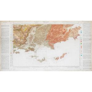
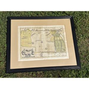
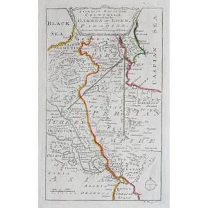
Map Egypt , Arabia, Libya, Emirates, Qatar. Circa 1640.
17th century
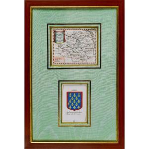
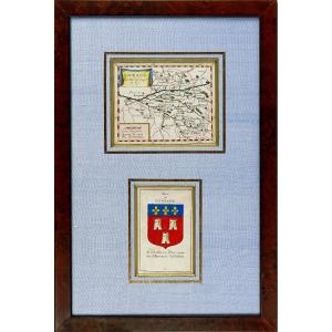
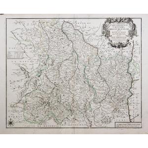
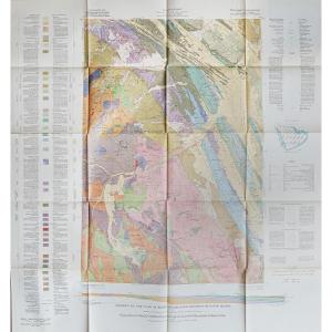
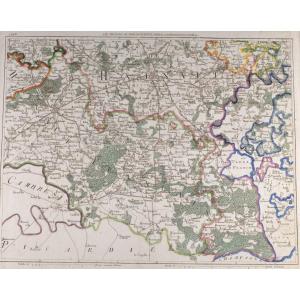
Carte Du Berry Et Son Blason - Rare Engraving - Ep. Mid 17th Cent[...]
17th century
![]()


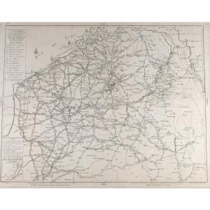


Antique Map Of Catholic Belgium And The 10 Provinces, 1747 By Tob[...]
18th century
![]()

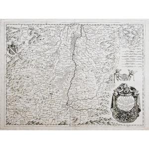
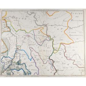
17th Century Map Bellovaci Et Silvanectes. The Bishoprics Of Beau[...]
17th century
![]()
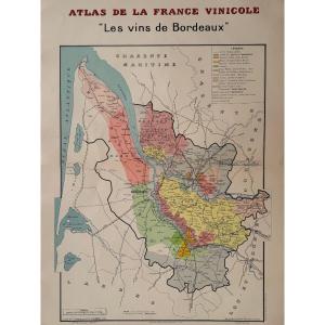
Atlas De La France Vinicole. Carte "les Vins De Bordeaux". Louis [...]
20th century


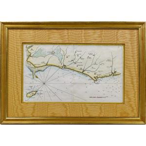
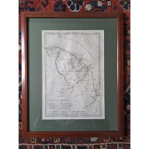
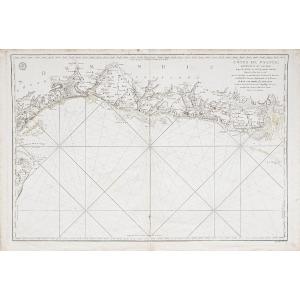
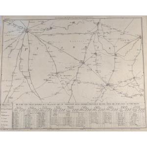
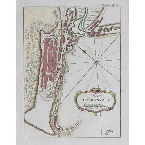
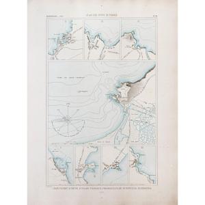
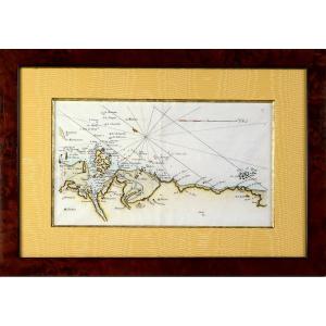
Rare Carte Marine De La Vendée - N°27 - De Beauvoir Aux Les Sable[...]
18th century
![]()

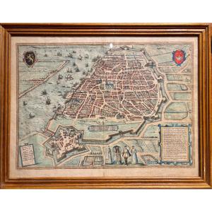
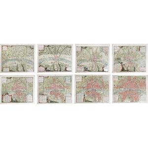
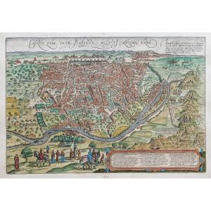
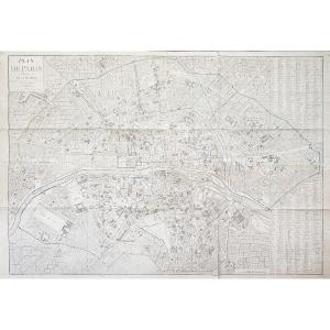
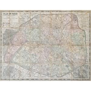
Large Map Of Paris In 1589 Published In 1705 In A Papier-mâché Fr[...]
18th century
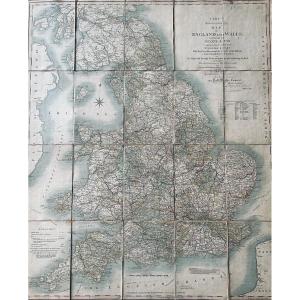
Cary - Cary's Reduction Of His Large Map Of England And Wales Wit[...]
19th century
![]()
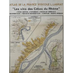
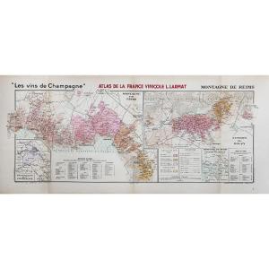
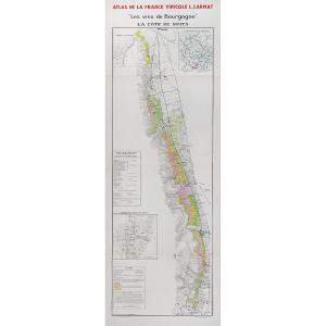
Atlas Of French Wines. Map "the Wines Of The Côtes Du Rhône". Lou[...]
20th century

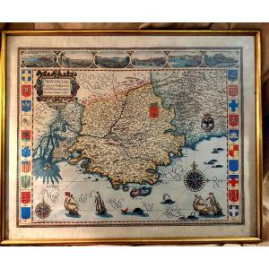
Large Framed Color Map Of Provence "parisis Anno 1593" By Petro I[...]
20th century
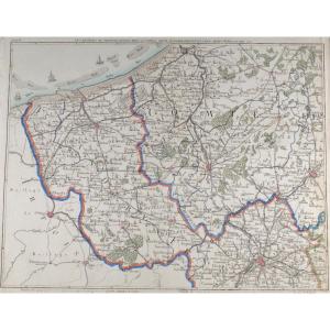
Coastal Map Of Brittany - Pleubian - Isle De Bréhat - Paimpol - P[...]
18th century
![]()
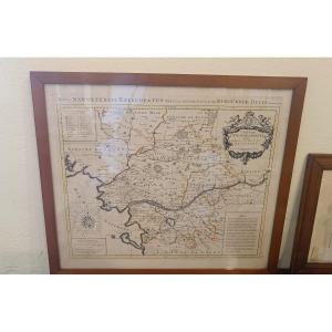
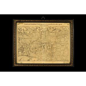
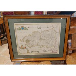
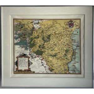
Watercolor And Framed Map From The 17th Century By H. Jaillot Of [...]
17th century