Old Maps

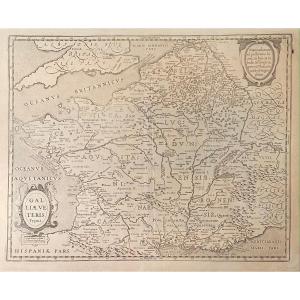
Old Map From The XVIIth Of Janssonius: Galliae Veteris Typus (rom[...]
17th century
250 €
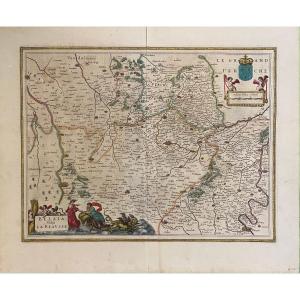
17th Century Map After Blaeu: Belsia Vulgo La Beausse (beauce)
17th century
120 €
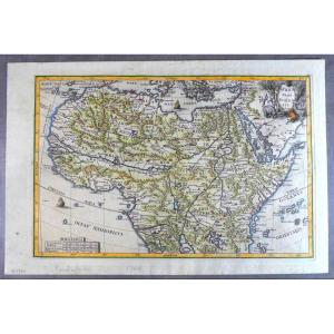
1699, Pretty Jesuit Map Of North Africa, Period Edition And Hand [...]
18th century
380 €
![]()


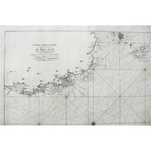
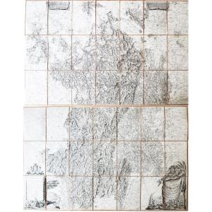
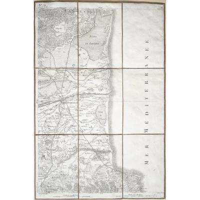
Old Geographical And Marine Map Of The Côtes De Bretagne Anse De [...]
18th century
850 €
![]()

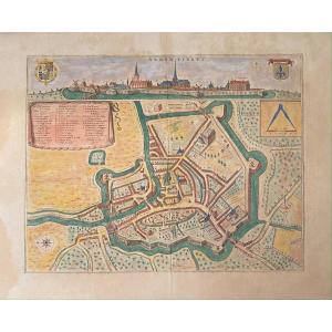
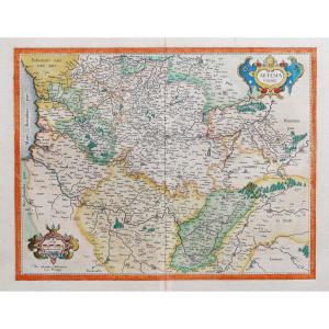
XVIIth Geographic Map Of Blaeu: Bird's Eye View Of The City Of Ar[...]
17th century
250 €
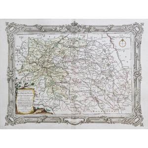
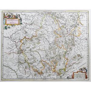
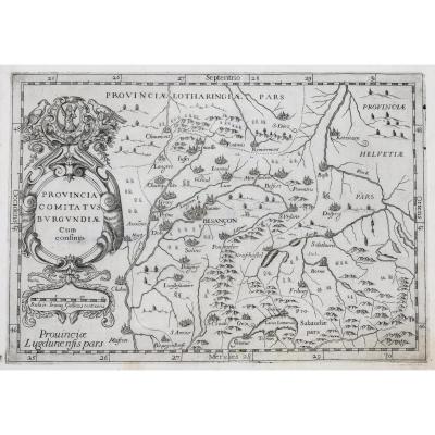
Map "general Governments Of The March Of Limosin And Auvergne", 1[...]
18th century
220 €


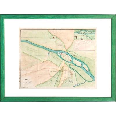
Map Paris In The Time Of Julius Caesar / City Of Lutetia - Beginn[...]
19th century
400 €


17th Century Card From Mercator: Franckenlandt. Francia Orientali[...]
17th century
180 €


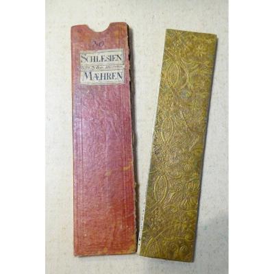
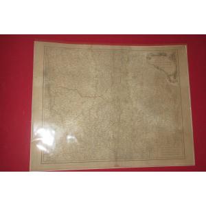
18th Century Color Travel Map, Austerlitz Region, Silesia, Moravi[...]
18th century
140 €
![]()


Carte Commerciale Chemin De Fer Français Paris 1868, 10ème Ed. 19[...]
19th century
180 €


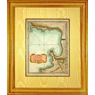
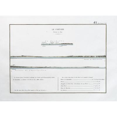
Corsica - Rare Marine Chart Engraving - Plan Of The Baye De Calvi[...]
18th century
300 €
![]()


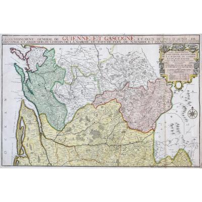

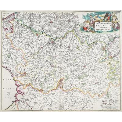
Carte Géographique Ancienne - Guyenne & Gascogne - Original Antiq[...]
17th century
145 €
![]()

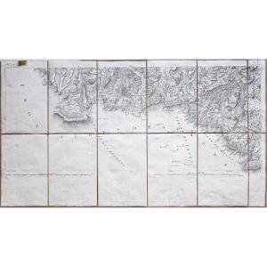
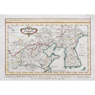
La Pérouse - Antique Geographic Map Of The Coasts Of America & As[...]
18th century
450 €
![]()