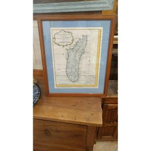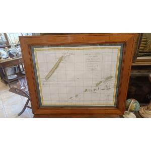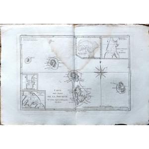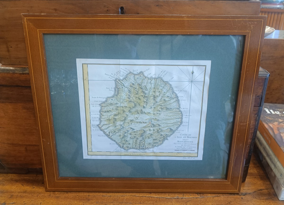


18th Century Framed Map Of Reunion Island (bourbon) By Bellin
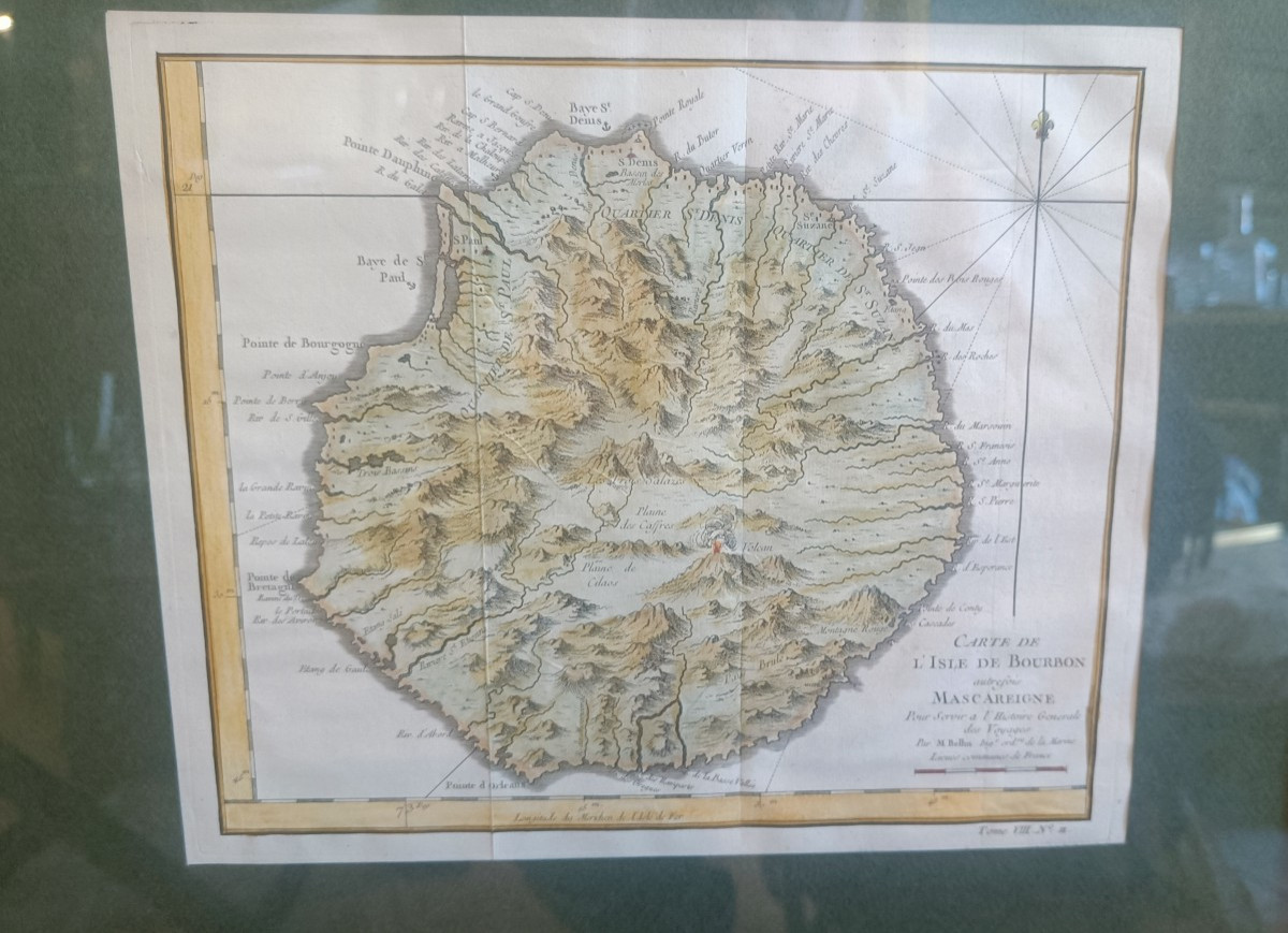
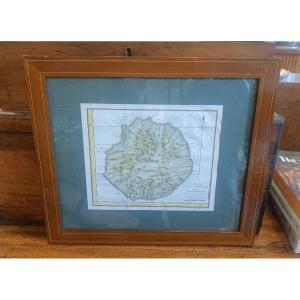
18th century watercolor map of Bourbon Island, Reunion Island circa 1750 by Bellin
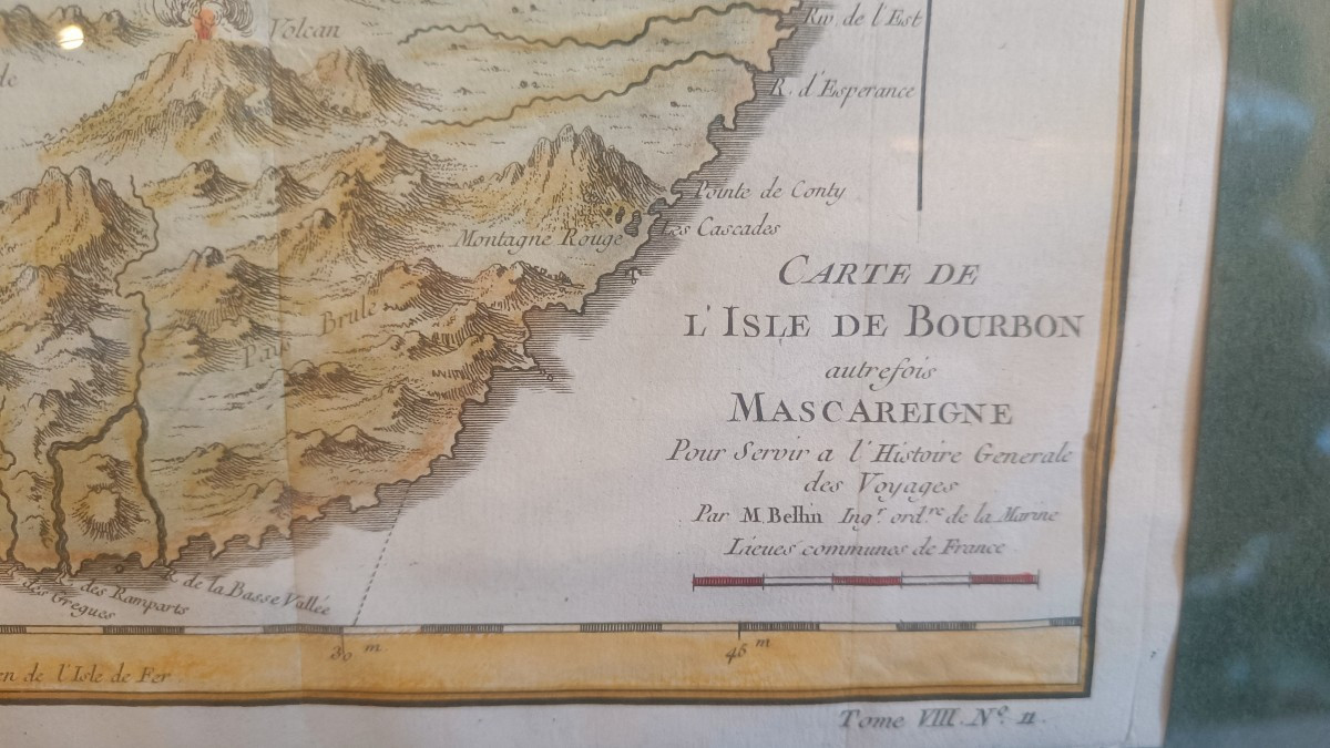
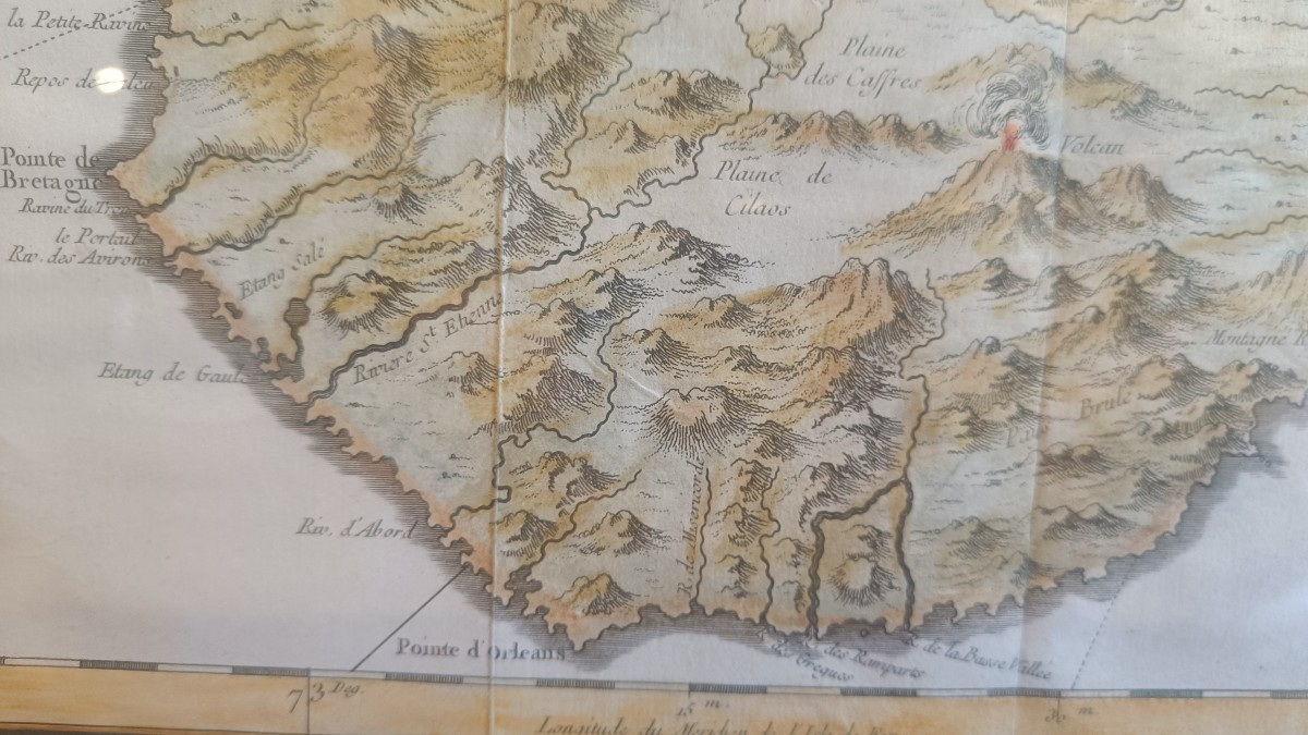
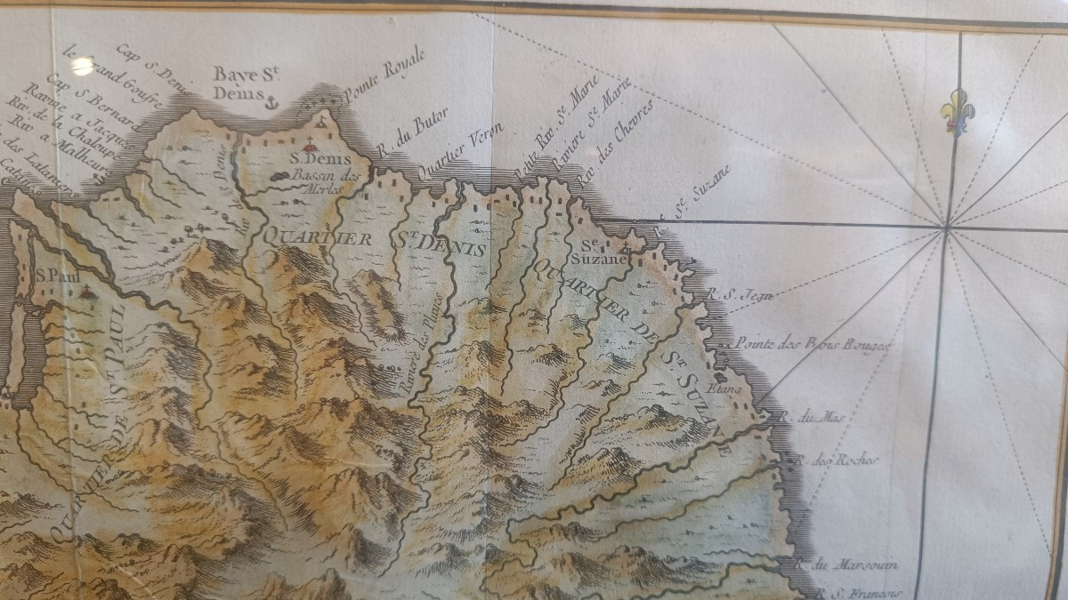
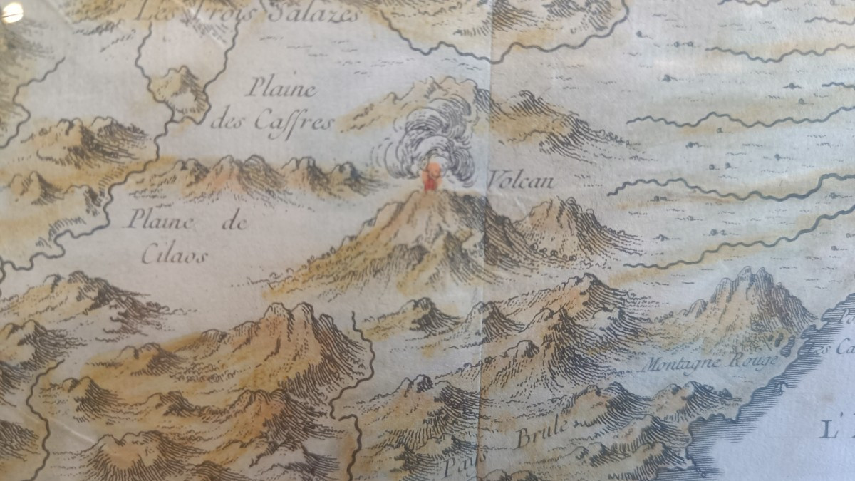
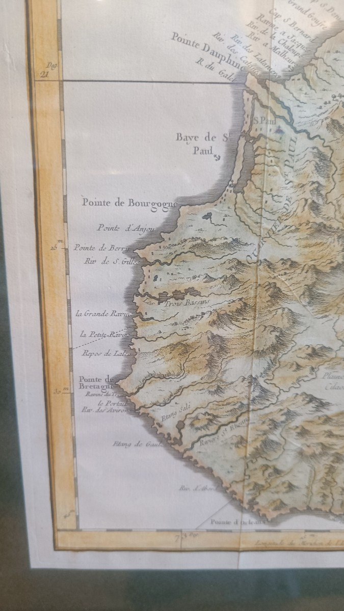
"Carte de l'Isle de Bourbon autrefois Mascareigne pour servir a l'Histoire Generale des Voyages par M.Bellin ingr ordre de la marine"
Beautiful original colors
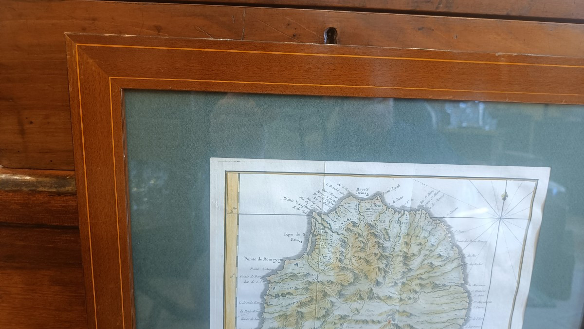
Mahogany framing with fillet 44.5 cm x 38.5 cm
"Carte de l'Isle de Bourbon autrefois Mascareigne pour servir a l'Histoire Generale des Voyages par M.Bellin ingr ordre de la marine"
Beautiful original colors
Mahogany framing with fillet 44.5 cm x 38.5 cm
420 €
Period: 18th century
Style: Other Style
Condition: Excellent condition
Material: Paper
Reference (ID): 1764927
Availability: In stock
Print