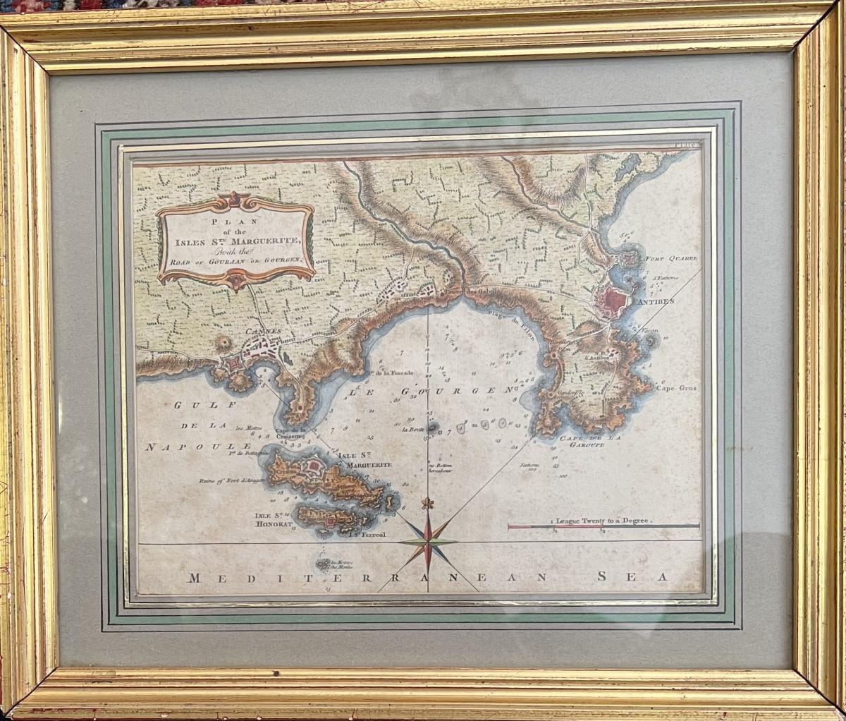


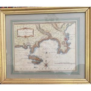


18th Century Map Of Cannes, Antibes And The Lerins Islands
Marine chart, 18th century period, representing the Gulf of Napoule with Cannes and the Lerins Islands. 29.5 cm X 35 cm with the frame.
350 €
Period: 18th century
Style: Other Style
Condition: Good condition
Material: Paper
Length: 24 cm
Height: 19 cm
Reference (ID): 1564145
Availability: In stock
Print