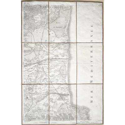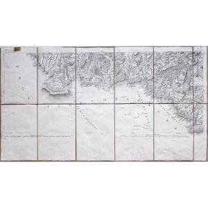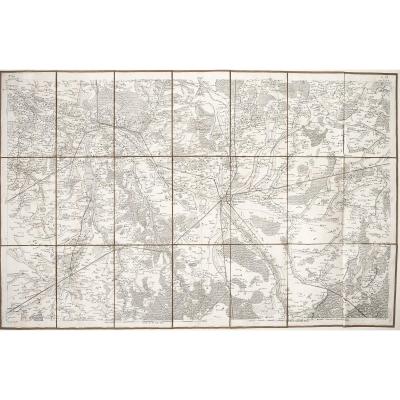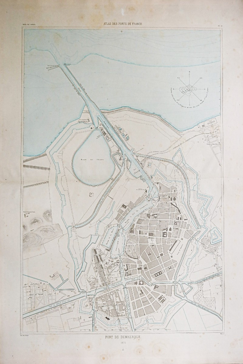
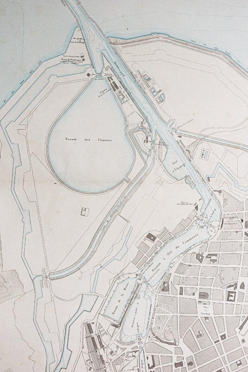
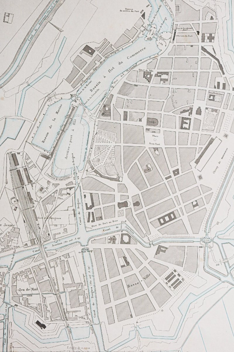
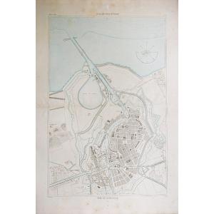


Old Nautical Chart Of The Port Of Dunkirk
Grande épreuve originale réalisée en 1873.
Impression en couleurs.
Rousseurs claires dans les marges.
Bon état.
Format feuille : 95,5 x 66,5 cm.
Original antique chart of 1873.
Rare collection illustrant les ports de France.
Institution qui modèle le littoral français (1667 – 2000), dans la tradition des Neptune français.
Vous pouvez consulter l’ensemble des cartes, livres et gravures disponibles sur votre région en cliquant sur le lien de notre site internet spécialisé en archives anciennes géographiques :
https://cartes-livres-anciens.com/produit/cartes-geographiques-anciennes-original-antique-maps/france/nord-pas-de-calais/carte-marine-ancienne-du-port-de-dunkerque/
Règlement sécurisé par carte bancaire sur notre site internet en cliquant sur le lien ci-dessous :
https://cartes-livres-anciens.com/categorie-produit/cartes-geographiques-anciennes-original-antique-maps/france/nord-pas-de-calais/
Toutes nos cartes et gravures sont accompagnées d’un certificat d’authenticité.
Large original proof made in 1873.Color printing.Light foxing in the margins.Good condition.Sheet size: 95.5 x 66.5 cm.Original antique chart of 1873.Rare collection illustrating the ports of France.Institution which models the French coastline (1667 – 2000), in the tradition of the French Neptunes.You can consult all the maps, books and engravings available in your region by clicking on the link to our website specializing in old geographical archives: https://cartes-livres-anciens.com/produit/cartes-geographiques-anciennes-original-antique-maps/france/nord-pas-de-calais/carte-marine-ancienne-du-port-de-dunkerque/ Secure payment by credit card on our website by clicking on the link below: https://cartes-livres-anciens.com/categorie-produit/cartes-geographiques-anciennes-original-antique-maps/france/nord-pas-de-calais/All our maps and engravings are accompanied by a certificate of authenticity.
250 €
Period: 19th century
Style: Other Style
Condition: Good condition
Material: Paper
Reference (ID): 1564527
Availability: In stock
Print