Old Maps

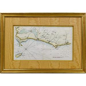
Rare Carte Marine De La Vendée - N°27 - De Beauvoir Aux Les Sable[...]
18th century
440 €
![]()

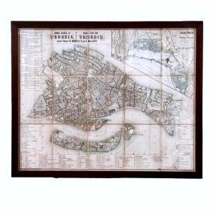
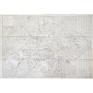
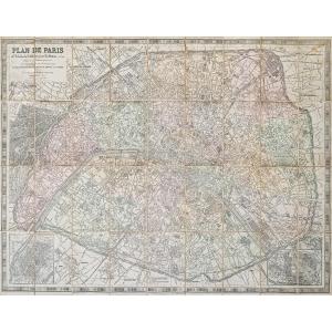
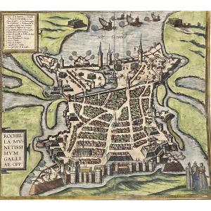
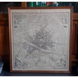
Large Map Of Paris In 1589 Published In 1705 In A Papier-mâché Fr[...]
18th century
750 €
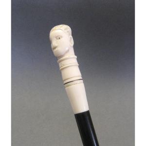
Walking Stick With A Pommel In The Shape Of A Man's Head.
20th century
270 €
![]()
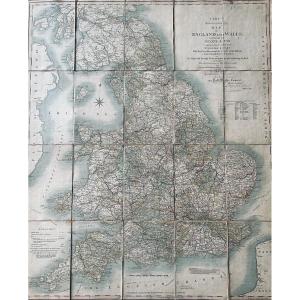
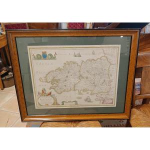
Cary - Cary's Reduction Of His Large Map Of England And Wales Wit[...]
19th century
80 €
![]()
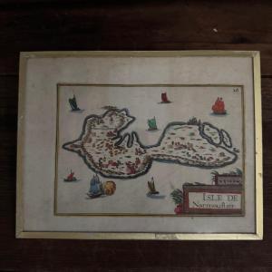
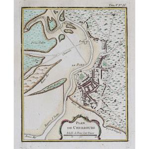
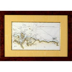
Engraving Of The Isle Of Noirmoultier By Christophe Tassin, 1634
17th century
200 €
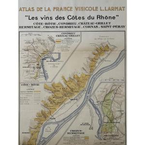
Atlas Of French Wines. Map "the Wines Of The Côtes Du Rhône". Lou[...]
20th century
150 €

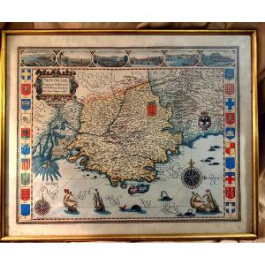
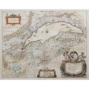
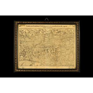
Large Framed Color Map Of Provence "parisis Anno 1593" By Petro I[...]
20th century
240 €
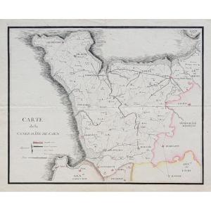
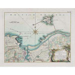
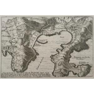
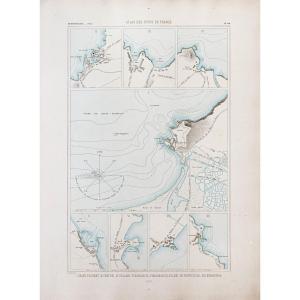
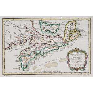
Coastal Map Of Brittany - Pleubian - Isle De Bréhat - Paimpol - P[...]
18th century
440 €
![]()
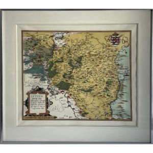
Watercolor And Framed Map From The 17th Century By H. Jaillot Of [...]
17th century
580 €


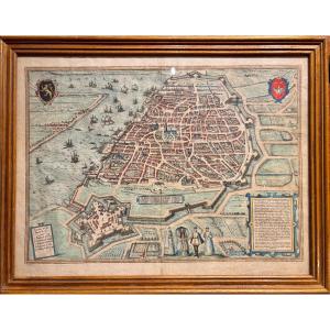
Old Map Of The Town Of Rouffach (alsace), Circa 1550 / Book By Fr[...]
16th century
360 €

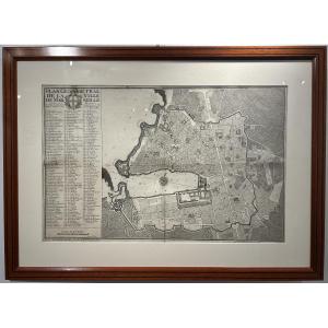
Geometrical Plan Of The City Of Marseille, Jean Pierre Besson Fil[...]
18th century
1 200 €

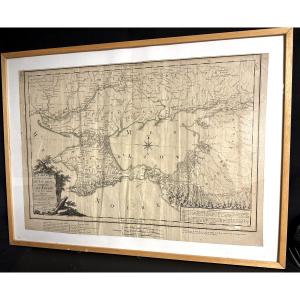
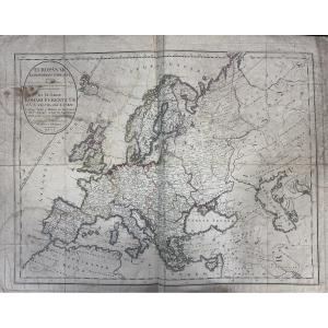
Large Map 1788, Government Of Tauride, Crimea, By Dezauche, Russi[...]
18th century
400 €
![]()

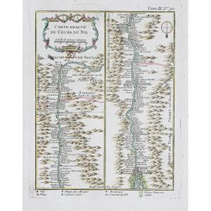
G De l'Isle- Ieremiah Wolff- 6 Engravings On The Continents, 18th[...]
18th century
3 800 €


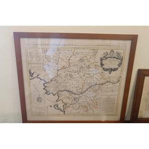
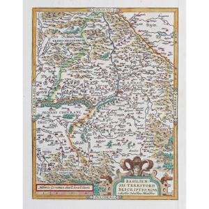
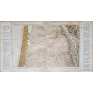
Large Geographical Map Of Aquitaine By Johann Baptist Homann, 17[...]
17th century
340 €


Portable Map From 1743 "the Electorate Of Cologne" In Its Case, 1[...]
18th century
180 €

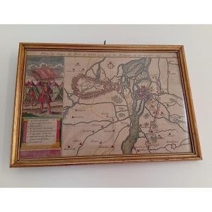
Watercolor And Framed Map Of The Province Of Brittany, Montecaler[...]
18th century
560 €


17th-century Color Engraving Of Belle Isle By Christophe Tassin
17th century
200 €

Insula Ceylan 1672 Sri Lanka Large Old Map Philippus Baldeus Amst[...]
17th century
250 €
![]()